MyTopo
Ysleta NW Texas US Topo Map
Couldn't load pickup availability
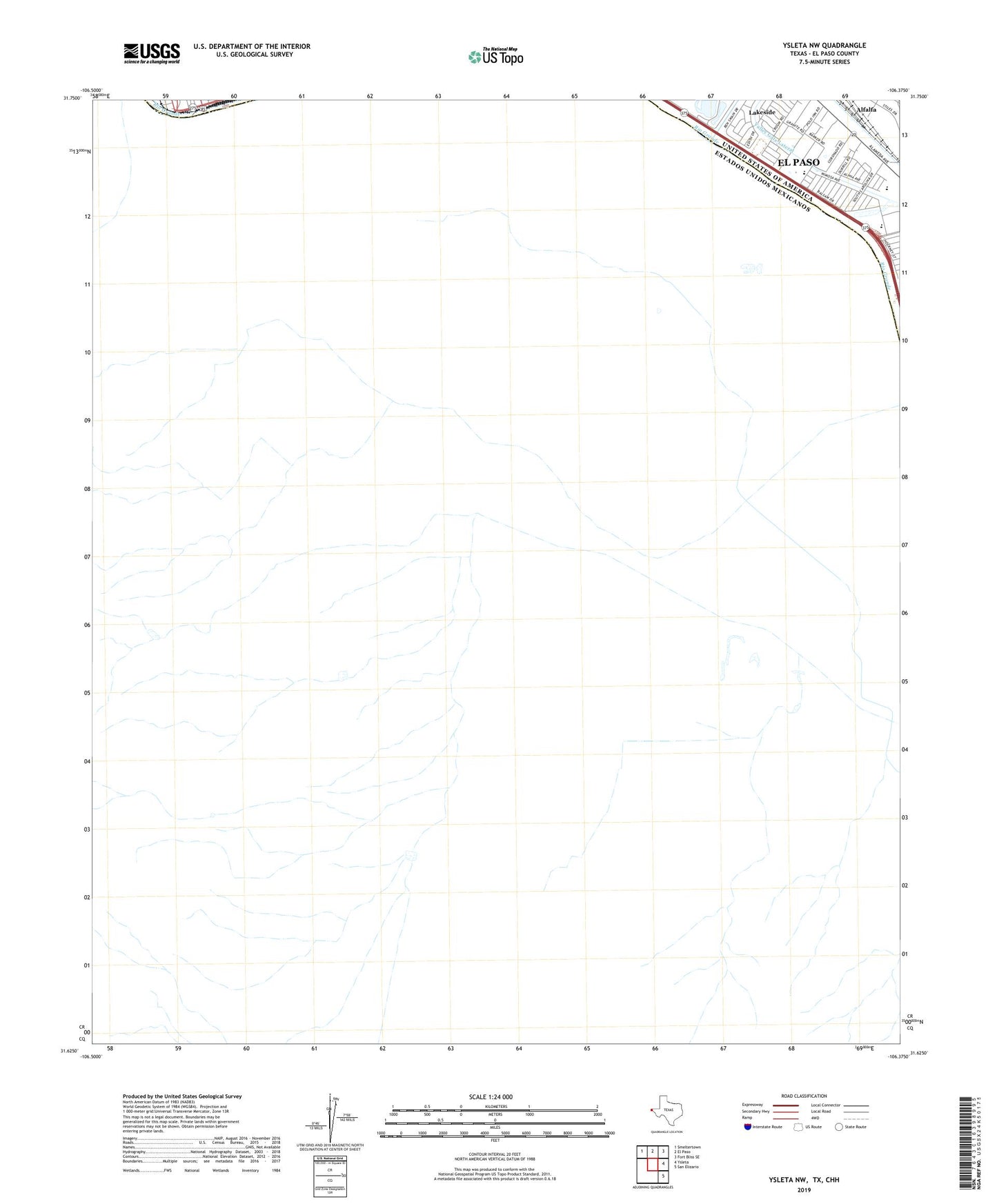
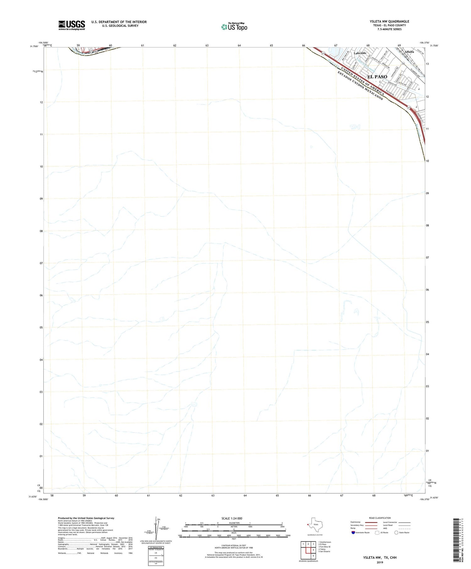
2019 topographic map quadrangle Ysleta NW in the state of Texas. Scale: 1:24000. Based on the newly updated USGS 7.5' US Topo map series, this map is in the following counties: El Paso. The map contains contour data, water features, and other items you are used to seeing on USGS maps, but also has updated roads and other features. This is the next generation of topographic maps. Printed on high-quality waterproof paper with UV fade-resistant inks.
Quads adjacent to this one:
Northwest: Smeltertown
North: El Paso
Northeast: Fort Bliss SE
East: Ysleta
Southeast: San Elizario
Contains the following named places: Cedar Grove Elementary School, Hidden Valley Park, KELP-AM (El Paso), Lakeside, Little Flower Catholic Church, Playa Drain, Riverfront Stadium - Riverside High School, Riverside Middle School, Saint Paul Catholic Church, Silver Dollar Cafe, Tejas School of Choice, Templo la Hermosa Church, Valley Gate Lateral