MyTopo
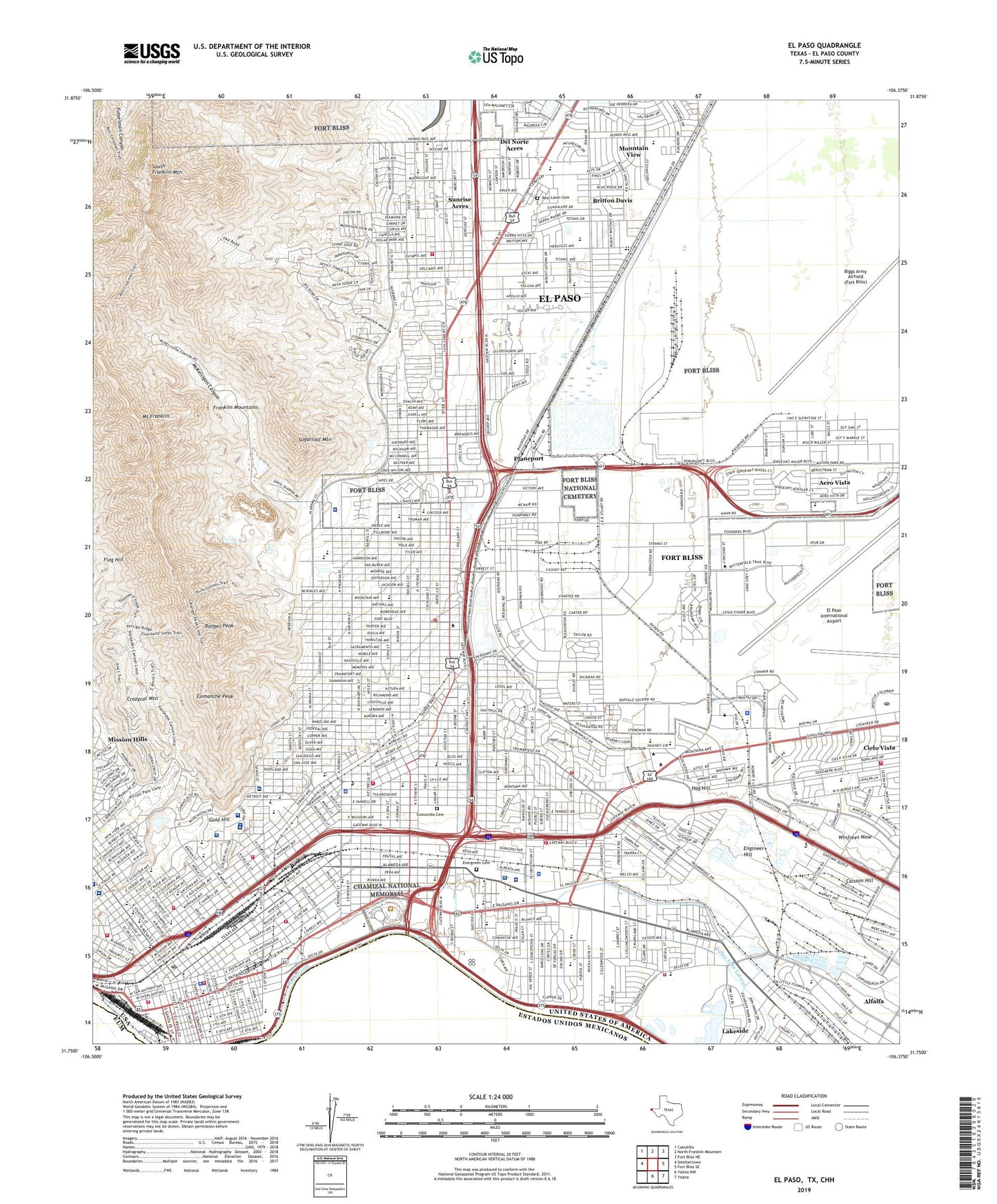
El Paso Texas US Topo Map
Couldn't load pickup availability
2022 topographic map quadrangle El Paso in the state of Texas. Scale: 1:24000. Based on the newly updated USGS 7.5' US Topo map series, this map is in the following counties: El Paso. The map contains contour data, water features, and other items you are used to seeing on USGS maps, but also has updated roads and other features. This is the next generation of topographic maps. Printed on high-quality waterproof paper with UV fade-resistant inks.
Quads adjacent to this one:
West: Smeltertown
Northwest: Canutillo
North: North Franklin Mountain
Northeast: Fort Bliss NE
East: Fort Bliss SE
Southeast: Ysleta
South: Ysleta NW
This map covers the same area as the classic USGS quad with code o31106g4.
Contains the following named places: Abernathy Park at Fort Bliss, Aero Vista, Alamo Elementary School, Alamo Park, Alamo School, Alfalfa, Alta Vista Elementary School, Alta Vista School, Althea Park, Aoy Elementary School, Armijo Park, Armstrong Field, Arroyo Park, Ascarate Elementary School, Ascarate Lake, Ascarate Park, Austin High School, Austin Junior and Senior High School, Aztec Calendar Park, Bassett Center, Bassett Middle School, Baty-Simang Stadium at Bowie High School, Beall Elementary School, Beall School, Bear Heliport, Biggs Army Airfield (Fort Bliss), Bliss Elementary School, Bonham Elementary School, Bonham School, Bosserman Field, Bowie High School, Bowie Junior and Senior High School, Britton Davis, Burges High School, Burges High School Baseball Field, Burges High School Track and Football Field, Burges Junior and Senior High School, Burleson Elementary School, Burleson School, Burnet Elementary School, Burnet School, Caisson Hill, Caruso Park, Cathedral High School, Chamizal National Memorial, Chelsea Park, Cielo Vista, Cielo Vista Shopping Center, City of El Paso, Clardy School, Cleveland Square, Coldwell School, Comanche Peak, Concordia Cemetery, Cooley School, Crazycat Mountain, Crockett School, De Vargas Park, Del Norte Acres, Delta Academy, Delta Park, Douglass Elementary School, Dudley Field, Dudley School, Edgemere Walk and Jog Trail, El Paso, El Paso Army Air Field, El Paso County Coliseum, El Paso County Water Improvement District, El Paso High School, El Paso International Airport, El Paso Long Term Acute Care Hospital, El Paso Psychiatric Center, El Paso School - Age Parent Learning Cent, El Paso Specialty Hospital, Engineer Hill, Evergreen Cemetery, Flag Hill, Fort Bliss Main Post Historic District, Fort Bliss National Cemetery, Gold Hill, Grandview Park, Guillen Middle School, Hag Hill, Harold Wiggs Middle School, Hart Elementary School, Hawkins Elementary School, Henderson Middle School, Highland Special Education, Hillside Elementary School, Hillside School, Holy Family School, Hospitals of Providence - Sierra Campus, Houston Elementary School, Houston Park, Houston School, Hughey Elementary School, Hughey School, Jefferson High School, Jester Park, Jones Stadium - El Paso High School, KAMA-FM (El Paso), KAMZ-FM (El Paso), KBNA-AM (El Paso), KBNA-FM (El Paso), KCIK-TV (El Paso), KCOS-TV (El Paso), KDBC-TV (El Paso), KELP-AM (El Paso), Kern Park, KEZB-AM (El Paso), KEZB-FM (El Paso), KHEY-FM (El Paso), Kindred Hospital El Paso, KINT-TV (El Paso), KJLF-TV (El Paso), KLAQ-FM (El Paso), KOFX-FM (El Paso), KPRR-FM (El Paso), KSCE-TV (El Paso), KTEP-FM (El Paso), KTSM-AM (El Paso), KTSM-FM (El Paso), KTSM-TV (El Paso), KVIA-TV (El Paso), KVIV-AM (El Paso), KXCR-FM (El Paso), Lamar Elementary School, Lamar School, Las Palmas Medical Center, Lee Elementary School, Lincoln Park, Logan Elementary School, Loretto College, Loretto Park, MacArthur Elementary School - Intermediat, Madeline Park, Magoffin Home State Historical Park, Magoffin Middle School, Manhattan Heights Historic District, Mary Webb Park, Mc Arthur Park, McKee Stadium - Austin High School, McKelligon Canyon, McKelligon Canyon Bike Trail, McKelligon Canyon City Park Area, Memorial Park, Mesa Terrace Park, Milam Elementary School, Milam School, Mission Hills, Missouri Park, Modesto Gomez Park, Morehead School, Mount Franklin, Mountain Park Dam, Mountain Park Reservoir, Mountain View, Mountain View Park, Murchison Park, Nations Tobin Park, Newman Park, Nolan Richardson Middle School, North Open Space Reserve, Northgate Dam, Northgate Reservoir, Old San Francisco Historic District, Park Elementary School, Pershing Dam, Pershing Reservoir, Planeport, Ponder Park, Providence Memorial Hospital, Radford School, Ramona Elementary School, Ranger Peak, Raymond L Telles Academy, Reddington Building Heliport, Regional Deaf Day School, Remcon School, Rest Lawn Cemetery, Roger Bacon College, Ron Coleman Hiking Trail, Roosevelt Elementary School, Roosevelt School, Ross Middle School, Rusk Elementary School, Rusk School, Saint Anthony Seminary, Saint Ignatius School, Saint Josephs School, Saint Patricks School, San Jacinto School, San Jacinto Square, San Juan Park, San Juan School, Sierra Providence Physical Rehabilitation Hospital, Silva Health Magnet School, South Franklin Mountain, South Open Space Reserve, Stanton Elementary School, Sugarloaf Mountain, Summit Fillmore Park, Sunrise Acres, Sunrise Dam, Sunrise Park, Sunrise Reservoir, Sunset Heights Historic District, Sunset High School, Taylor Well, Thomason General Hospital Heliport, Tom Lea Park, Travis Elementary School, Travis School, Union Plaza, Union Station, University Medical Center of El Paso, Wainwright Elementary School, Wainwright School, Washington Park, William Beaumont Army Hospital, William Beaumont Army Medical Center, Winfrees Nose, Wyler Aerial Tramway, Zavala Elementary School, ZIP Codes: 79901, 79902, 79903, 79904, 79905, 79906, 79908, 79916, 79920, 79930


