MyTopo
Buffalo Point Utah US Topo Map
Couldn't load pickup availability
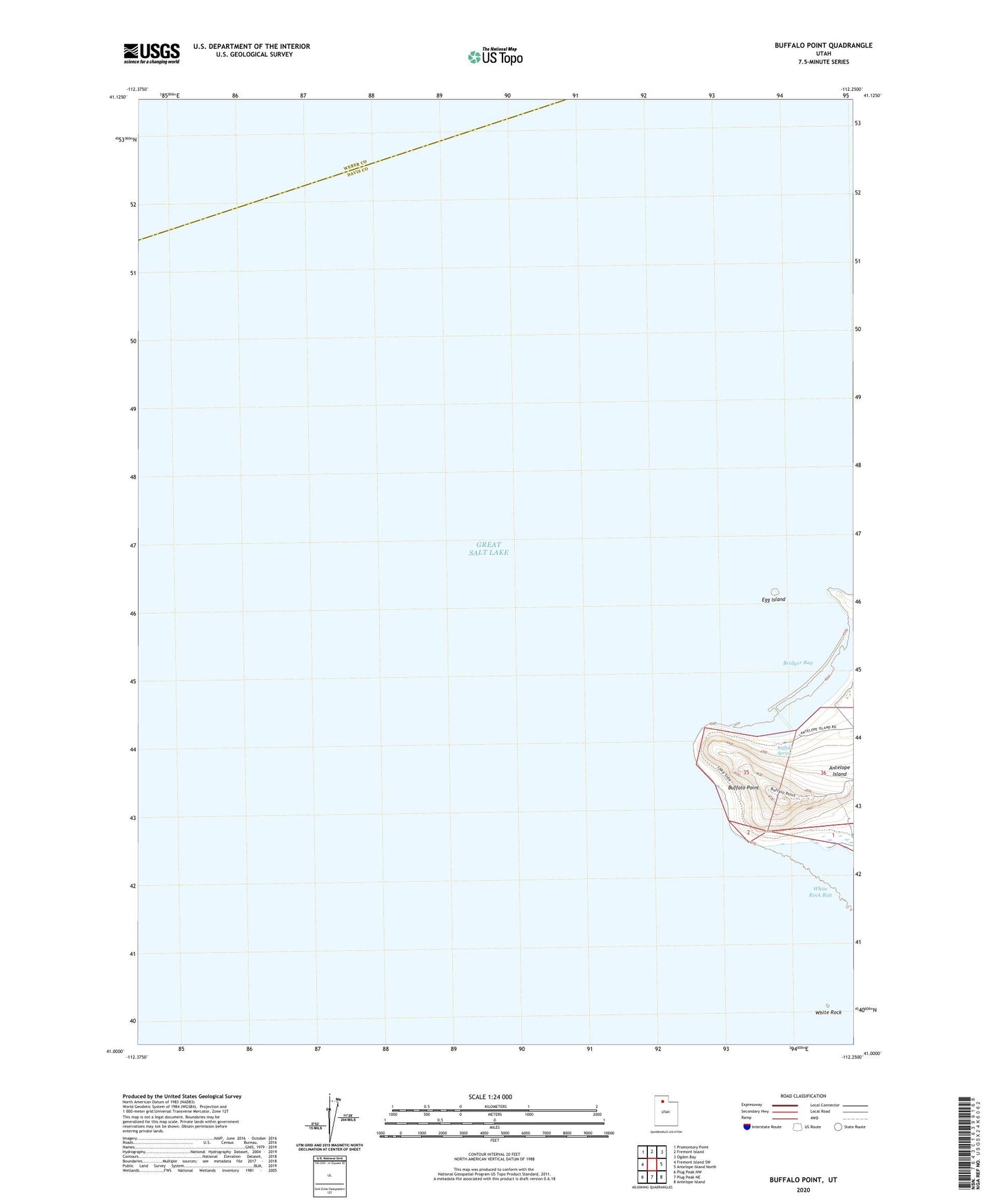
2020 topographic map quadrangle Buffalo Point in the state of Utah. Scale: 1:24000. Based on the newly updated USGS 7.5' US Topo map series, this map is in the following counties: Davis, Weber. The map contains contour data, water features, and other items you are used to seeing on USGS maps, but also has updated roads and other features. This is the next generation of topographic maps. Printed on high-quality waterproof paper with UV fade-resistant inks.
Quads adjacent to this one:
West: Fremont Island SW
Northwest: Promontory Point
North: Fremont Island
Northeast: Ogden Bay
East: Antelope Island North
Southeast: Antelope Island
South: Plug Peak NE
Southwest: Plug Peak NW
Contains the following named places: Bridger Bay, Buffalo Point, Buffalo Spring, Egg Island, White Rock