MyTopo
Burr Point Utah US Topo Map
Couldn't load pickup availability
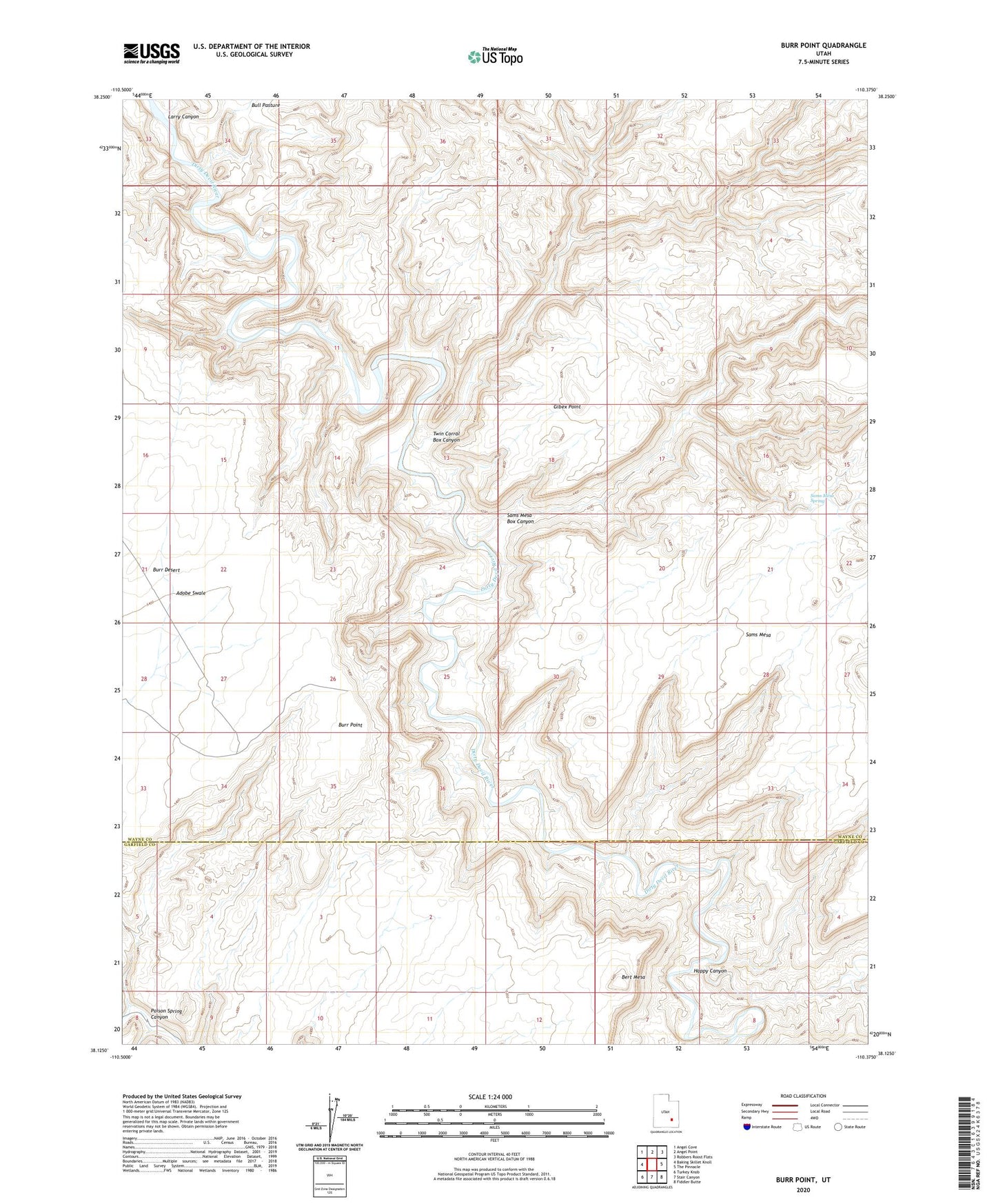
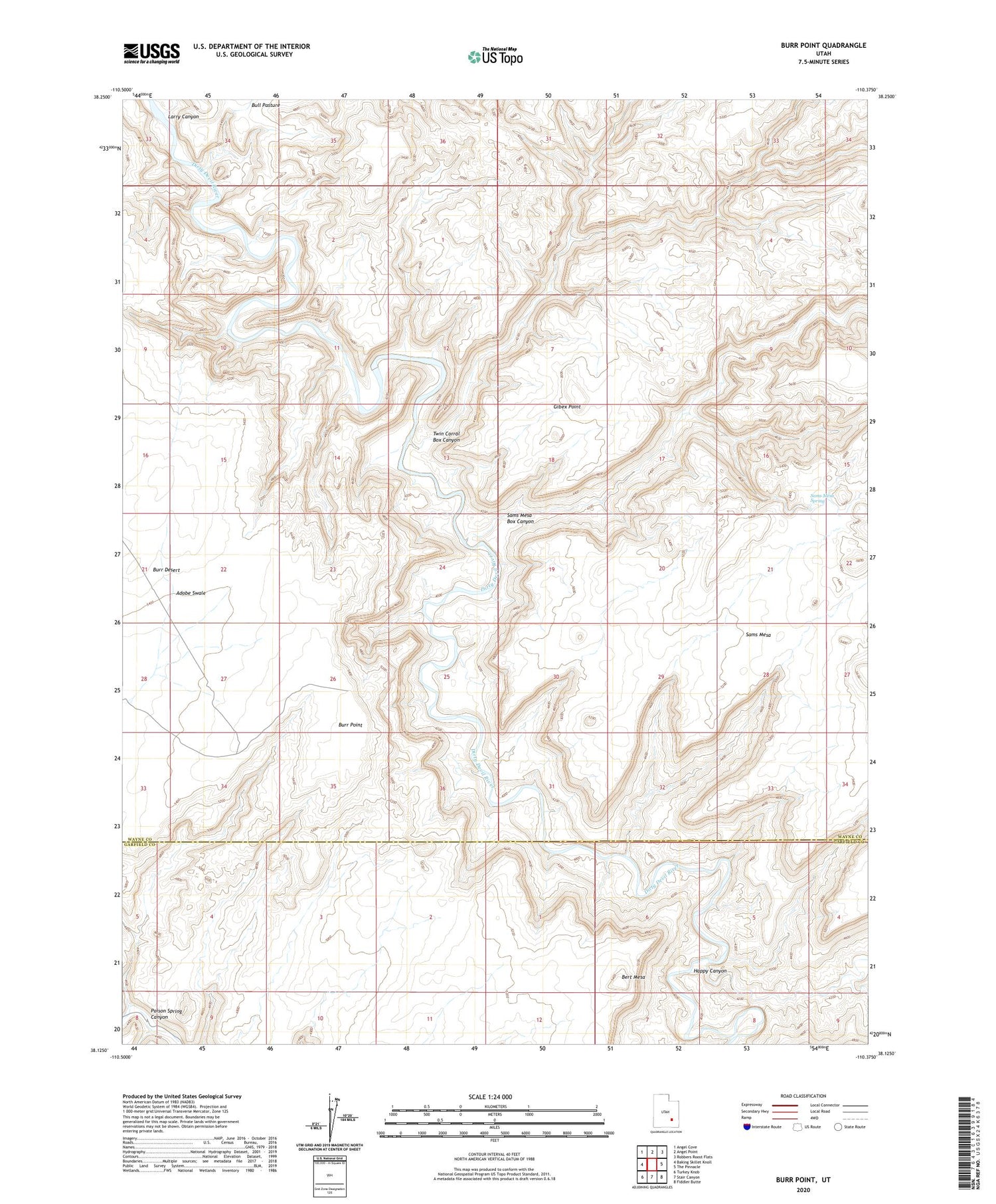
2020 topographic map quadrangle Burr Point in the state of Utah. Scale: 1:24000. Based on the newly updated USGS 7.5' US Topo map series, this map is in the following counties: Wayne, Garfield. The map contains contour data, water features, and other items you are used to seeing on USGS maps, but also has updated roads and other features. This is the next generation of topographic maps. Printed on high-quality waterproof paper with UV fade-resistant inks.
Quads adjacent to this one:
West: Baking Skillet Knoll
Northwest: Angel Cove
North: Angel Point
Northeast: Robbers Roost Flats
East: The Pinnacle
Southeast: Fiddler Butte
South: Stair Canyon
Southwest: Turkey Knob
Contains the following named places: Bert Mesa, Burr Point, Gibex Point, Gilex, Happy Canyon, Larry Canyon, Sams Mesa, Sams Mesa Box Canyon, Sams Mesa Spring, Twin Corral Box Canyon