MyTopo
The Pinnacle Utah US Topo Map
Couldn't load pickup availability
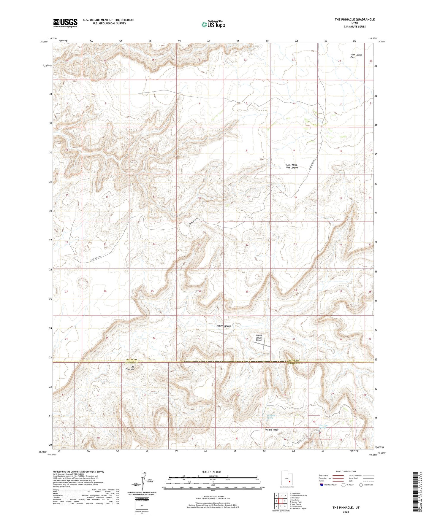
2023 topographic map quadrangle The Pinnacle in the state of Utah. Scale: 1:24000. Based on the newly updated USGS 7.5' US Topo map series, this map is in the following counties: Wayne, Garfield. The map contains contour data, water features, and other items you are used to seeing on USGS maps, but also has updated roads and other features. This is the next generation of topographic maps. Printed on high-quality waterproof paper with UV fade-resistant inks.
Quads adjacent to this one:
West: Burr Point
Northwest: Angel Point
North: Robbers Roost Flats
Northeast: Head Spur
East: Gordon Flats
Southeast: Clearwater Canyon
South: Fiddler Butte
Southwest: Stair Canyon
This map covers the same area as the classic USGS quad with code o38110b3.
Contains the following named places: Dripping Spring, Happy Canyon Airport, The Pinnacle, Two Pipe Springs