MyTopo
Cowboy Bench Utah US Topo Map
Couldn't load pickup availability
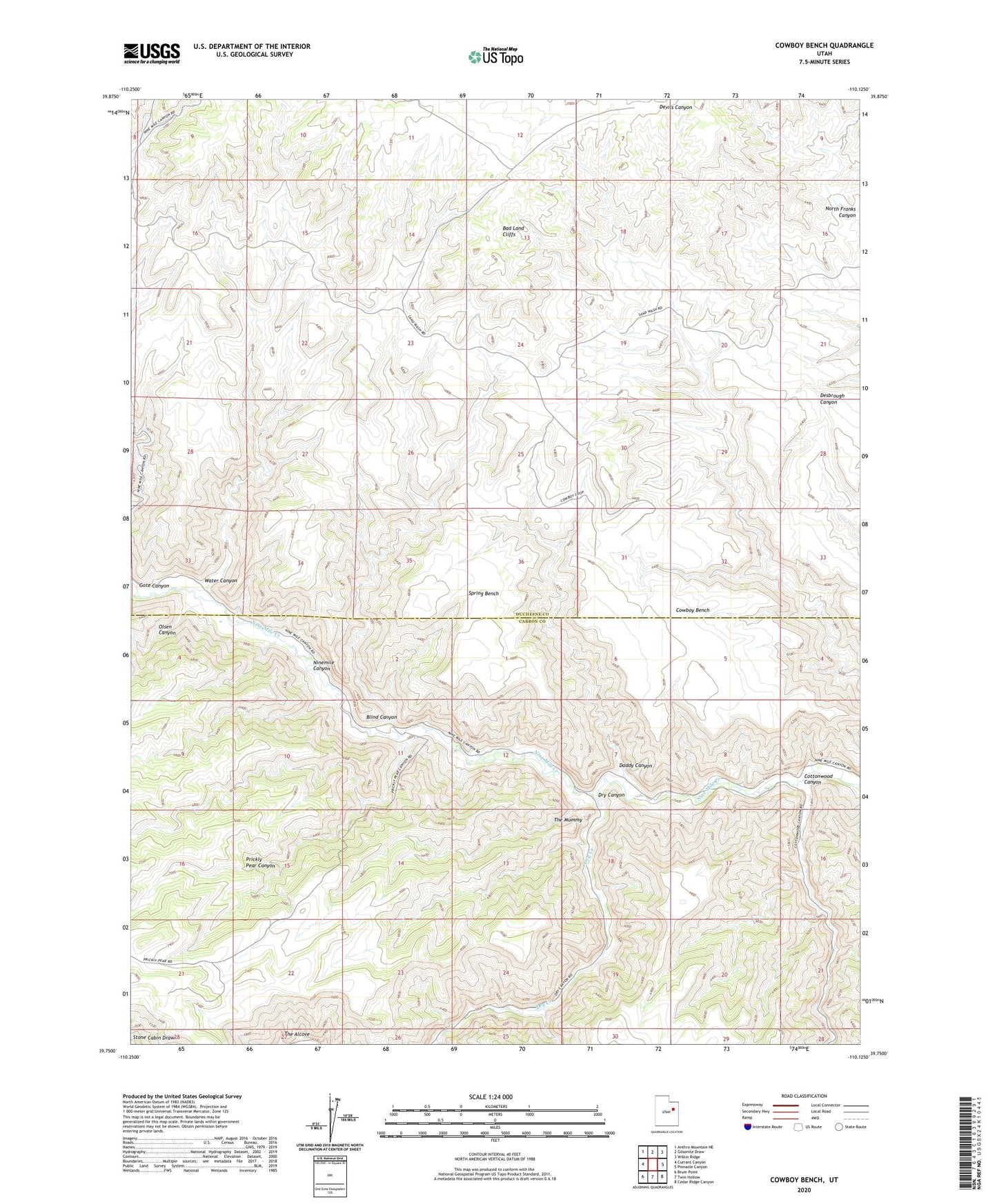
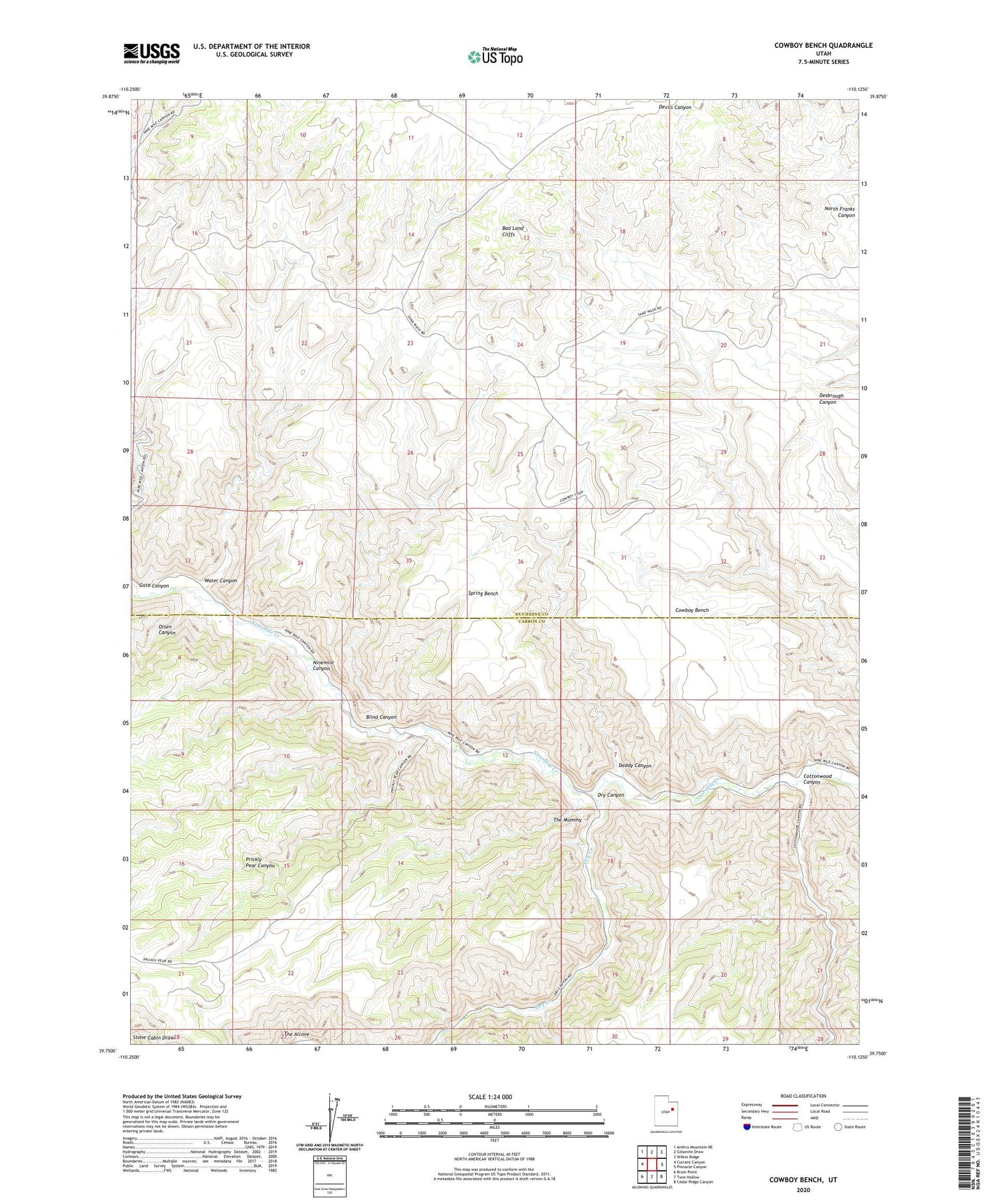
2020 topographic map quadrangle Cowboy Bench in the state of Utah. Scale: 1:24000. Based on the newly updated USGS 7.5' US Topo map series, this map is in the following counties: Duchesne, Carbon. The map contains contour data, water features, and other items you are used to seeing on USGS maps, but also has updated roads and other features. This is the next generation of topographic maps. Printed on high-quality waterproof paper with UV fade-resistant inks.
Quads adjacent to this one:
West: Currant Canyon
Northwest: Anthro Mountain NE
North: Gilsonite Draw
Northeast: Wilkin Ridge
East: Pinnacle Canyon
Southeast: Cedar Ridge Canyon
South: Twin Hollow
Southwest: Bruin Point
Contains the following named places: Bad Land Cliffs, Blind Canyon, Cottonwood Canyon, Cowboy Bench, Daddy Canyon, Dry Canyon, Dry Creek, Gate Canyon, Nine Mile Gas Field, Nutters Corral, Olsen Canyon, Prickly Pear Canyon, Spring Bench, The Alcove, The Mummy, Water Canyon