MyTopo
Deep Creek Utah US Topo Map
Couldn't load pickup availability
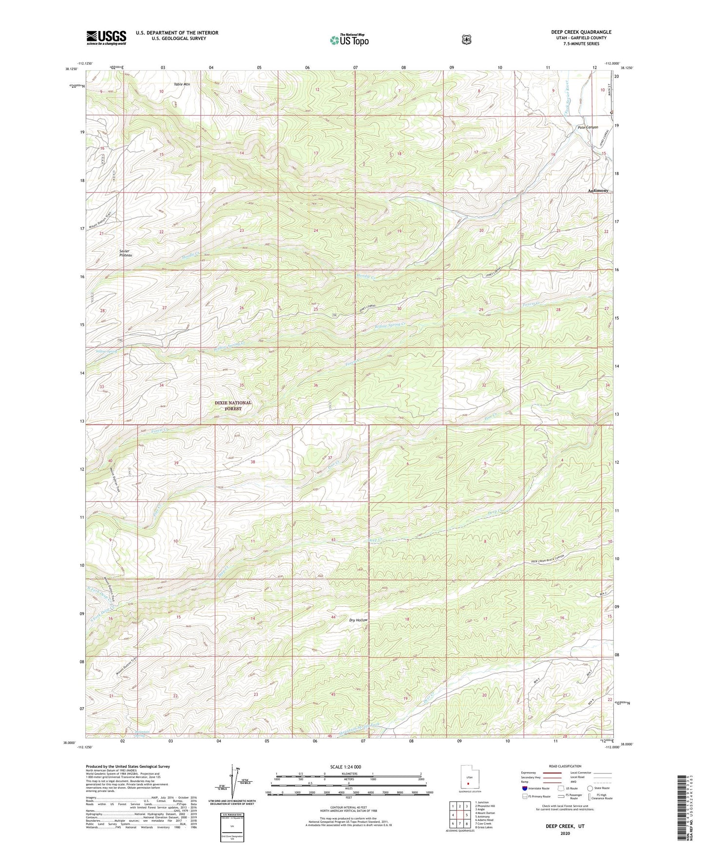
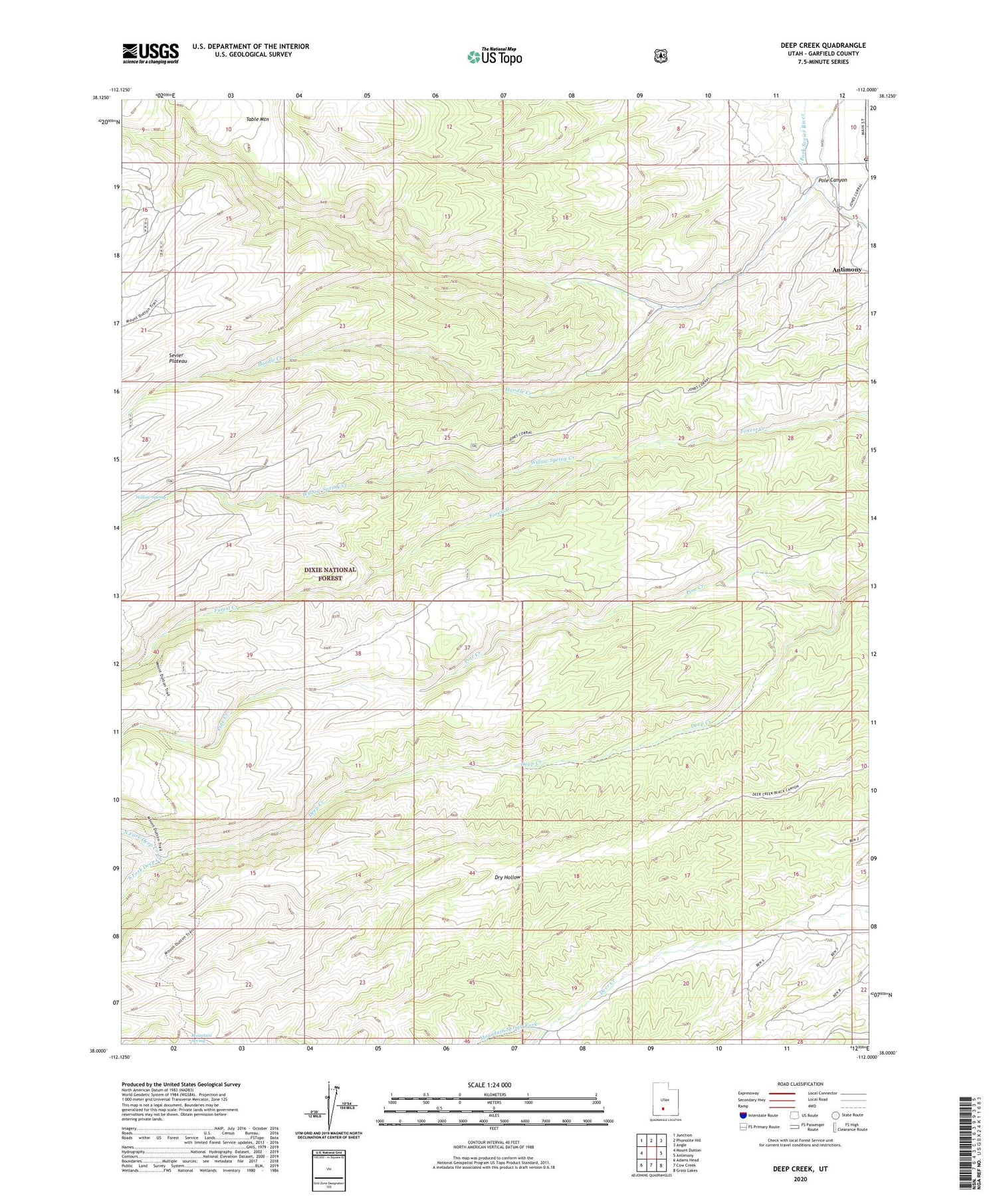
2020 topographic map quadrangle Deep Creek in the state of Utah. Scale: 1:24000. Based on the newly updated USGS 7.5' US Topo map series, this map is in the following counties: Garfield. The map contains contour data, water features, and other items you are used to seeing on USGS maps, but also has updated roads and other features. This is the next generation of topographic maps. Printed on high-quality waterproof paper with UV fade-resistant inks.
Quads adjacent to this one:
West: Mount Dutton
Northwest: Junction
North: Phonolite Hill
Northeast: Angle
East: Antimony
Southeast: Grass Lakes
South: Cow Creek
Southwest: Adams Head
Contains the following named places: Antimony Post Office, Deep Creek, Dry Wash, Hoodle Creek, Mountain Spring Fork, North Fork Deep Creek, Pole Canyon, Sevier Plateau, South Fork Deep Creek, Willow Spring, Willow Spring Creek