MyTopo
Duchesne SW Utah US Topo Map
Couldn't load pickup availability
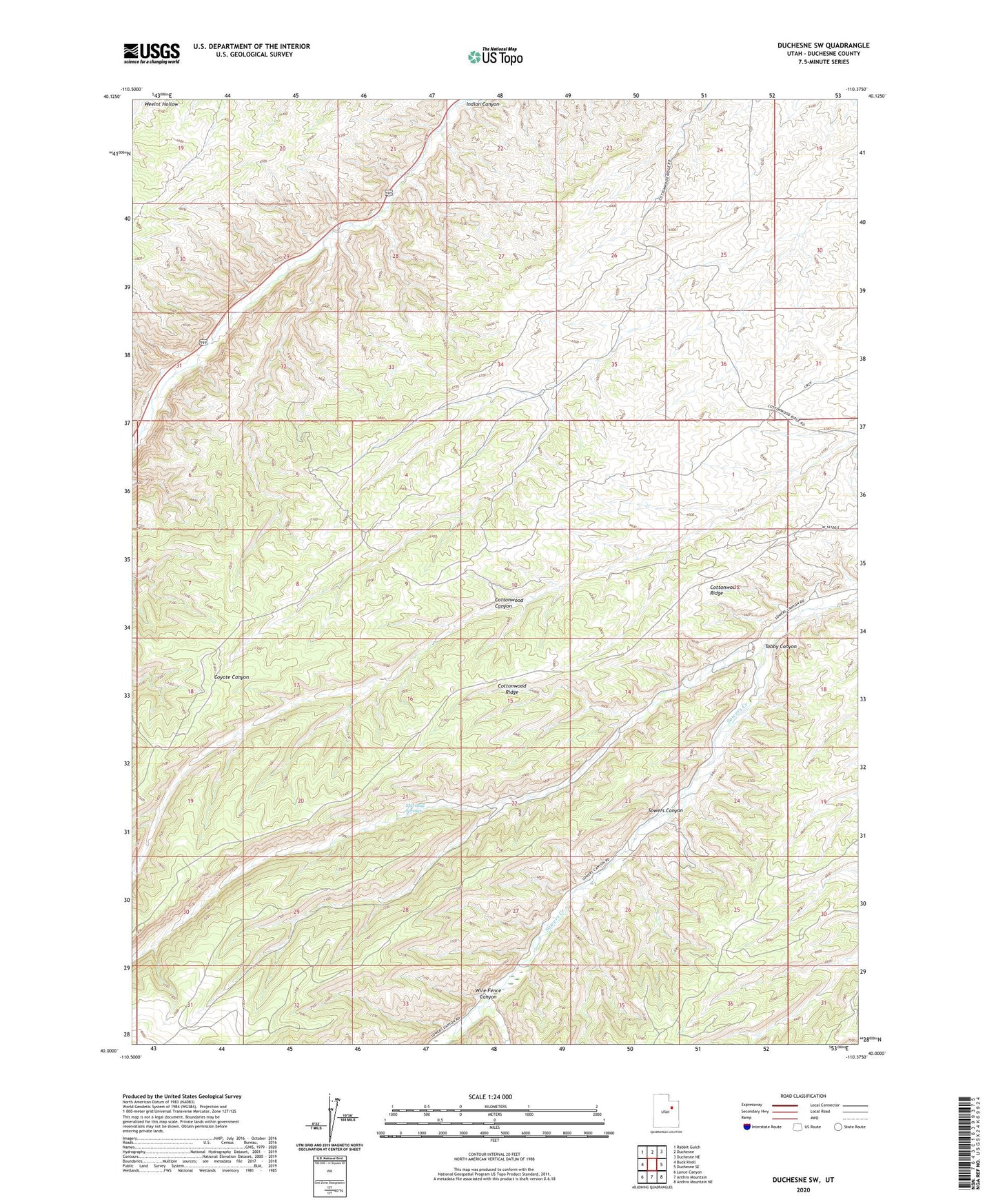
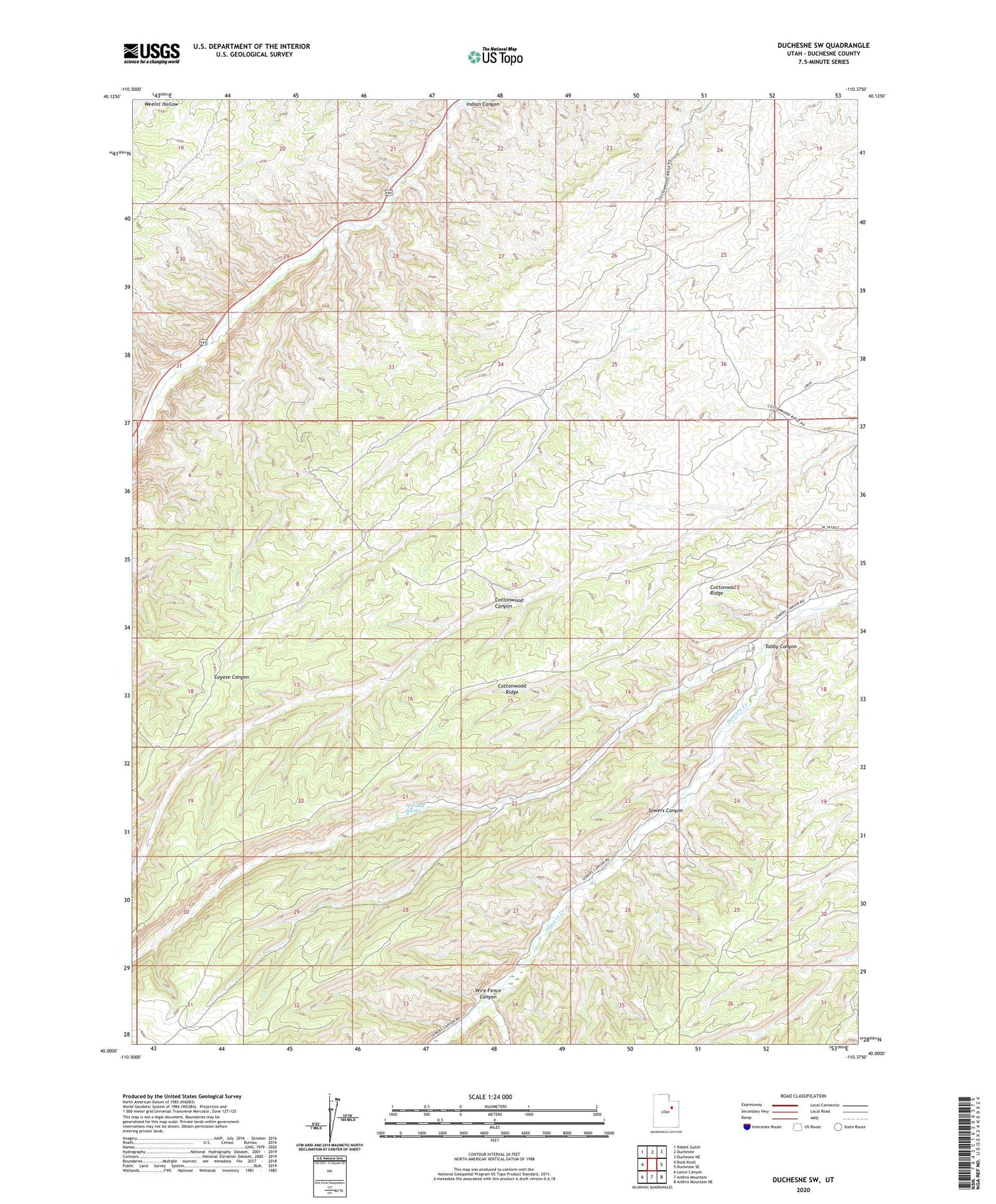
2020 topographic map quadrangle Duchesne SW in the state of Utah. Scale: 1:24000. Based on the newly updated USGS 7.5' US Topo map series, this map is in the following counties: Duchesne. The map contains contour data, water features, and other items you are used to seeing on USGS maps, but also has updated roads and other features. This is the next generation of topographic maps. Printed on high-quality waterproof paper with UV fade-resistant inks.
Quads adjacent to this one:
West: Buck Knoll
Northwest: Rabbit Gulch
North: Duchesne
Northeast: Duchesne NE
East: Duchesne SE
Southeast: Anthro Mountain NE
South: Anthro Mountain
Southwest: Lance Canyon
Contains the following named places: Cottonwood Ridge, Marshall Springs, Sowers Canyon Wildlife Management Area, Tabby Canyon, Wire Fence Canyon