MyTopo
Hite North Utah US Topo Map
Couldn't load pickup availability
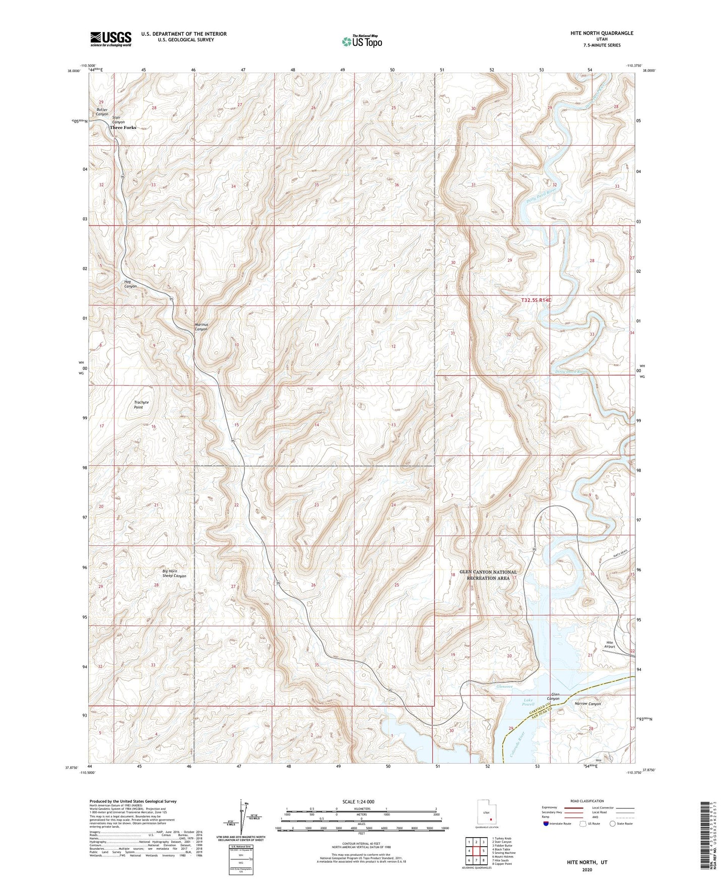
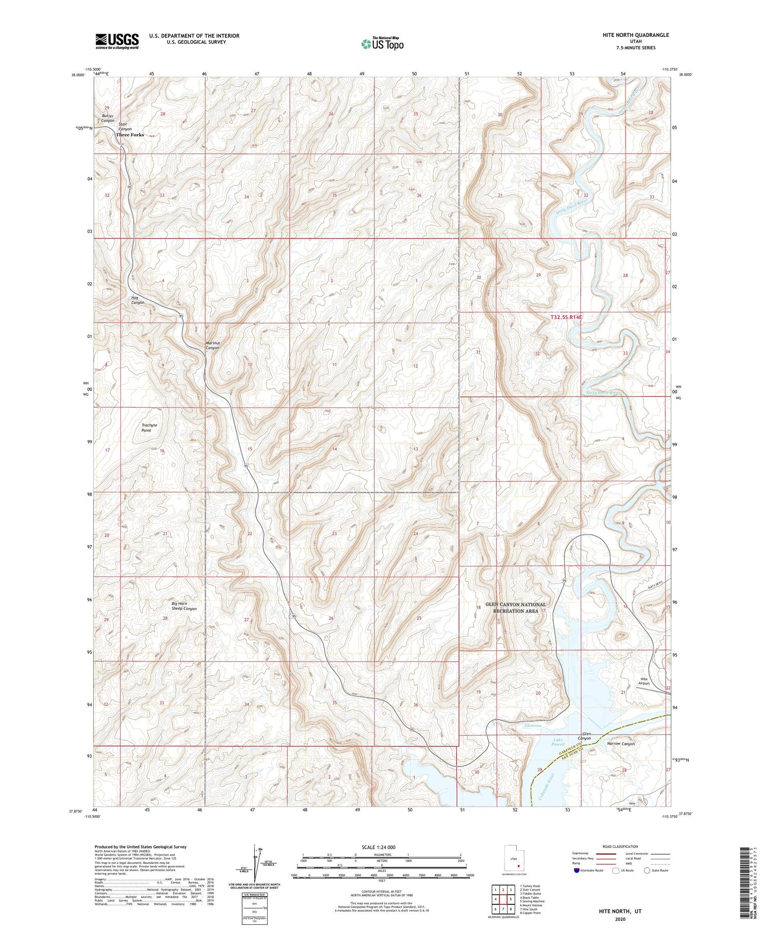
2020 topographic map quadrangle Hite North in the state of Utah. Scale: 1:24000. Based on the newly updated USGS 7.5' US Topo map series, this map is in the following counties: Garfield, San Juan. The map contains contour data, water features, and other items you are used to seeing on USGS maps, but also has updated roads and other features. This is the next generation of topographic maps. Printed on high-quality waterproof paper with UV fade-resistant inks.
Quads adjacent to this one:
West: Black Table
Northwest: Turkey Knob
North: Stair Canyon
Northeast: Fiddler Butte
East: Sewing Machine
Southeast: Copper Point
South: Hite South
Southwest: Mount Holmes
Contains the following named places: Browns Bottom, Butler Canyon, Dirty Devil River, Glencove, Hite Airport, Hog Canyon, Hog Spring Picnic Area, Hog Springs Picnic Area, Lake Powell Overlook, Marinus Canyon, Narrow Canyon, Stair Canyon, Three Forks, Trachyte Point