MyTopo
Hole-in-the-Wall Reservoir Utah US Topo Map
Couldn't load pickup availability
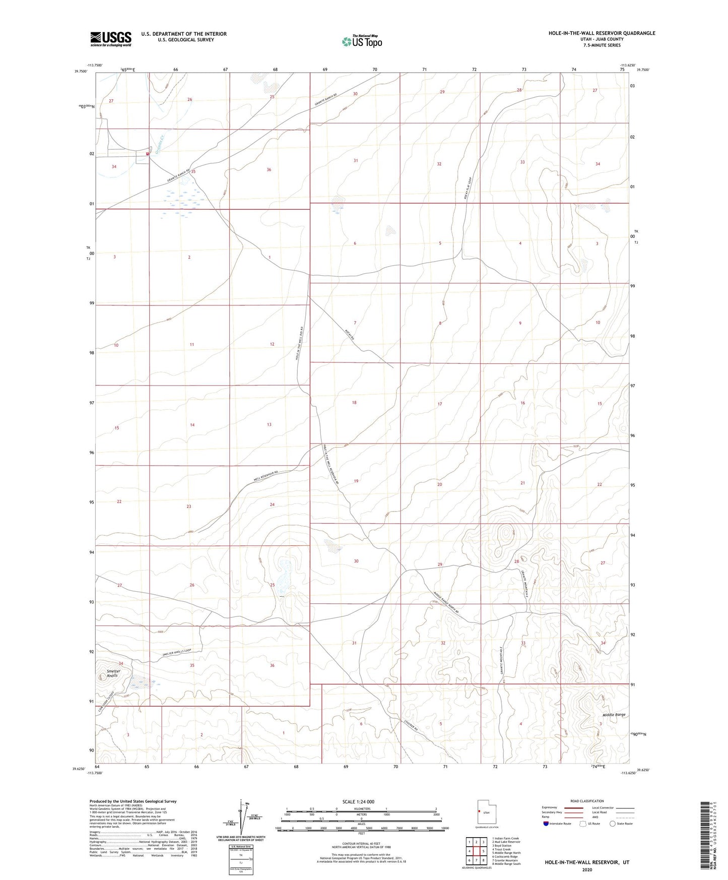
2020 topographic map quadrangle Hole-in-the-Wall Reservoir in the state of Utah. Scale: 1:24000. Based on the newly updated USGS 7.5' US Topo map series, this map is in the following counties: Juab. The map contains contour data, water features, and other items you are used to seeing on USGS maps, but also has updated roads and other features. This is the next generation of topographic maps. Printed on high-quality waterproof paper with UV fade-resistant inks.
Quads adjacent to this one:
West: Trout Creek
Northwest: Indian Farm Creek
North: Mud Lake Reservoir
Northeast: Boyd Station
East: Middle Range North
Southeast: Middle Range South
South: Granite Mountain
Southwest: Cockscomb Ridge
Contains the following named places: Granite Creek, Granite Ranch, Granite Ranch Fire Department, Hole in the Wall Dam, Hole-in-the-Wall Reservoir, Smelter Knolls