MyTopo
Boyd Station Utah US Topo Map
Couldn't load pickup availability
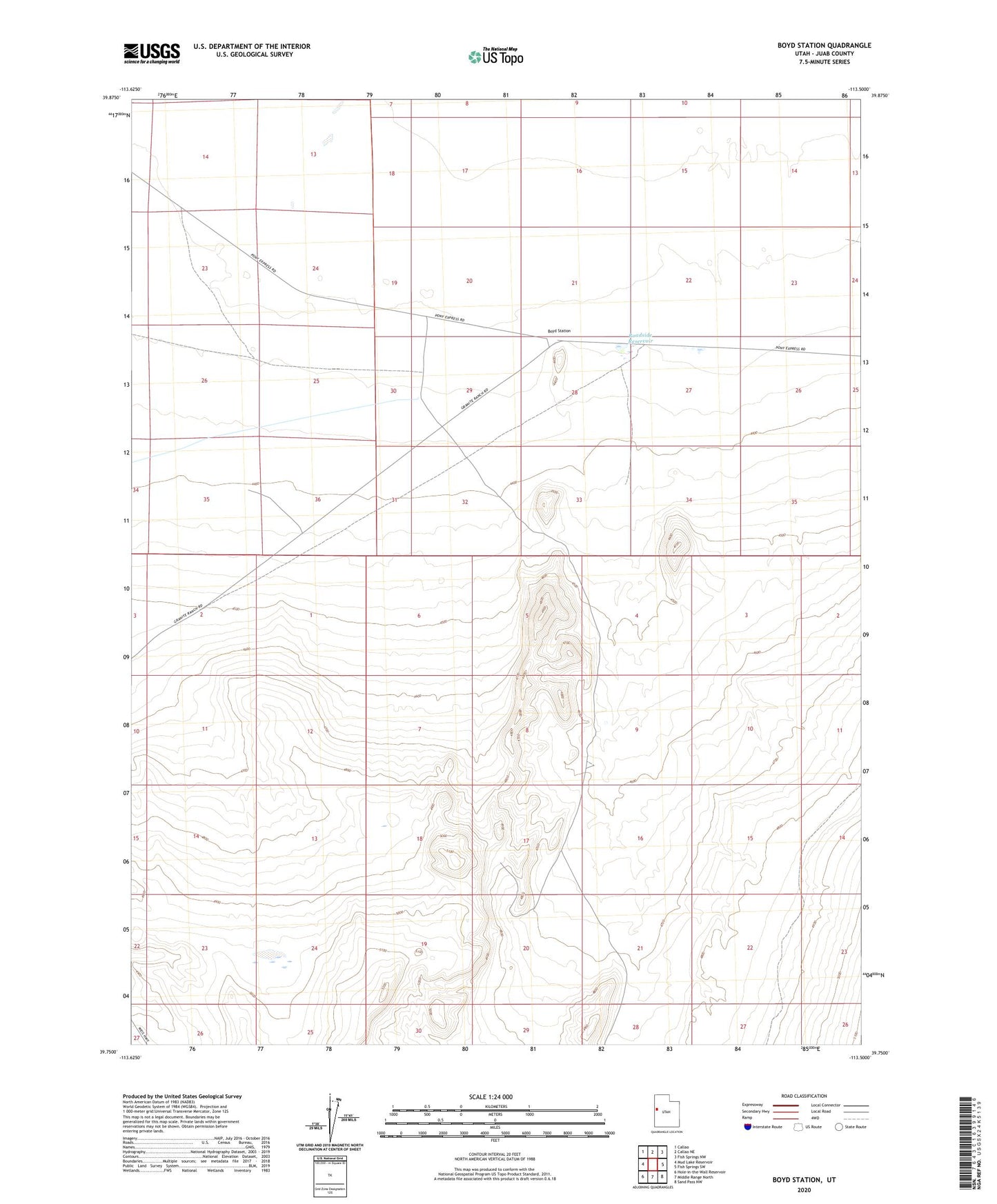
2023 topographic map quadrangle Boyd Station in the state of Utah. Scale: 1:24000. Based on the newly updated USGS 7.5' US Topo map series, this map is in the following counties: Juab. The map contains contour data, water features, and other items you are used to seeing on USGS maps, but also has updated roads and other features. This is the next generation of topographic maps. Printed on high-quality waterproof paper with UV fade-resistant inks.
Quads adjacent to this one:
West: Mud Lake Reservoir
Northwest: Callao
North: Callao NE
Northeast: Fish Springs NW
East: Fish Springs SW
Southeast: Sand Pass NW
South: Middle Range North
Southwest: Hole-in-the-Wall Reservoir
This map covers the same area as the classic USGS quad with code o39113g5.
Contains the following named places: Roadside Reservoir, Window Rock