MyTopo
Horse Ridge Utah US Topo Map
Couldn't load pickup availability
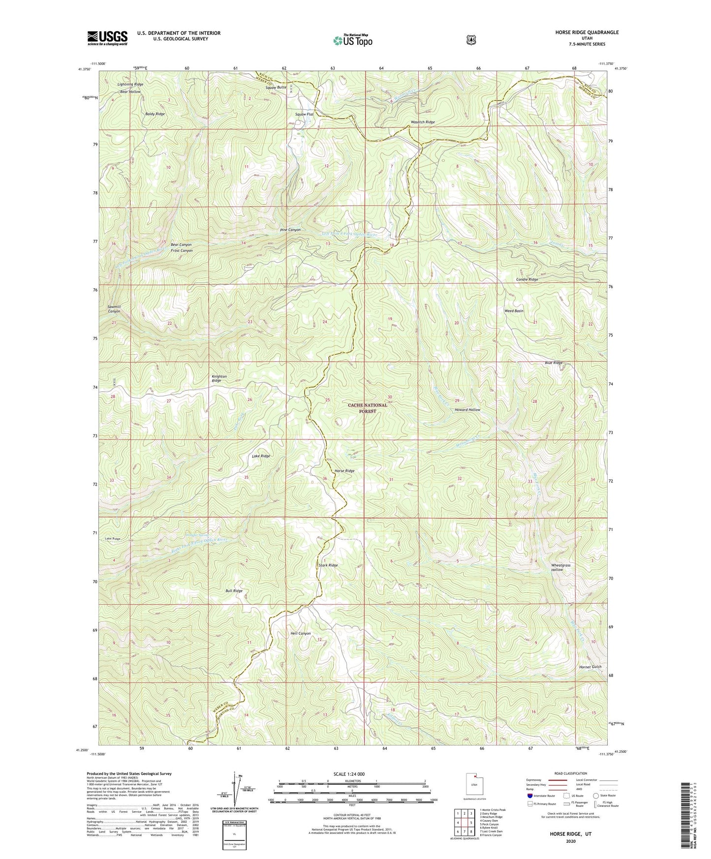
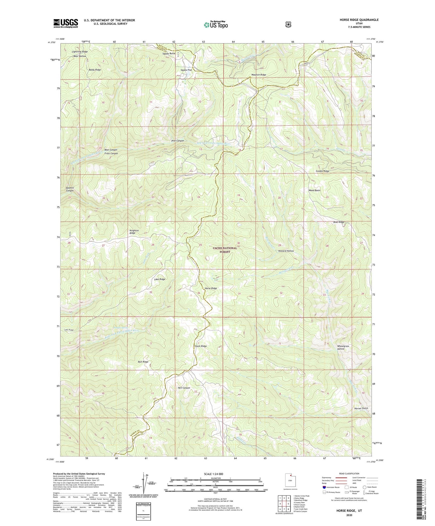
2020 topographic map quadrangle Horse Ridge in the state of Utah. Scale: 1:24000. Based on the newly updated USGS 7.5' US Topo map series, this map is in the following counties: Weber, Morgan, Rich. The map contains contour data, water features, and other items you are used to seeing on USGS maps, but also has updated roads and other features. This is the next generation of topographic maps. Printed on high-quality waterproof paper with UV fade-resistant inks.
Quads adjacent to this one:
West: Causey Dam
Northwest: Monte Cristo Peak
North: Dairy Ridge
Northeast: Meachum Ridge
East: Peck Canyon
Southeast: Francis Canyon
South: Lost Creek Dam
Southwest: Bybee Knoll
Contains the following named places: Baldy Ridge, Bear Canyon, Blue Ridge, Bull Ridge, Condie Ridge, Frost Canyon, Hornet Gulch, Horse Ridge, Howard Hollow, Knighton Ridge, Lake Ridge, Monument Creek, Pine Canyon, Sawmill Canyon, Squaw Butte, Squaw Flat, Stark Ridge, Wasatch Ridge, Weed Basin, Wheatgrass Hollow, Wonder Spring