MyTopo
Oljato NE Utah US Topo Map
Couldn't load pickup availability
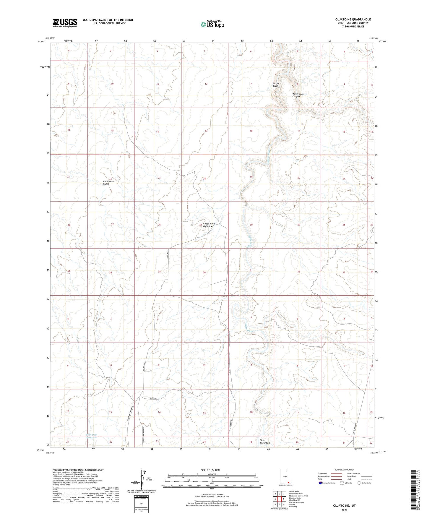
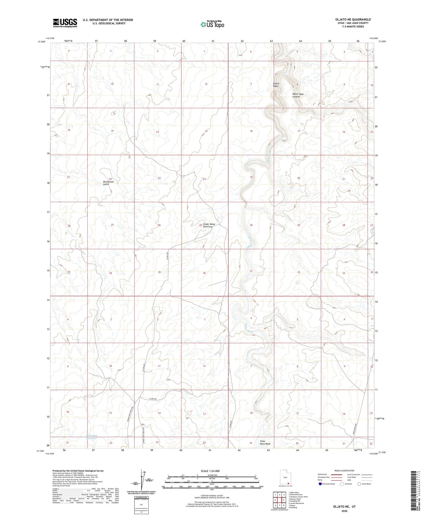
2020 topographic map quadrangle Oljato NE in the state of Utah. Scale: 1:24000. Based on the newly updated USGS 7.5' US Topo map series, this map is in the following counties: San Juan. The map contains contour data, water features, and other items you are used to seeing on USGS maps, but also has updated roads and other features. This is the next generation of topographic maps. Printed on high-quality waterproof paper with UV fade-resistant inks.
Quads adjacent to this one:
West: Monitor Butte
Northwest: Mikes Mesa
North: Whirlwind Draw
Northeast: Slickhorn Canyon West
East: Goulding NW
Southeast: Goulding
South: Oljato
Southwest: Jacobs Monument
Contains the following named places: Castle Wash, Cedar Mesa Anticline, Rock Dam Reservoir, Train Rock Wash, Water Tank Canyon, ZIP Code: 84536