MyTopo
Runswick Wash Utah US Topo Map
Couldn't load pickup availability
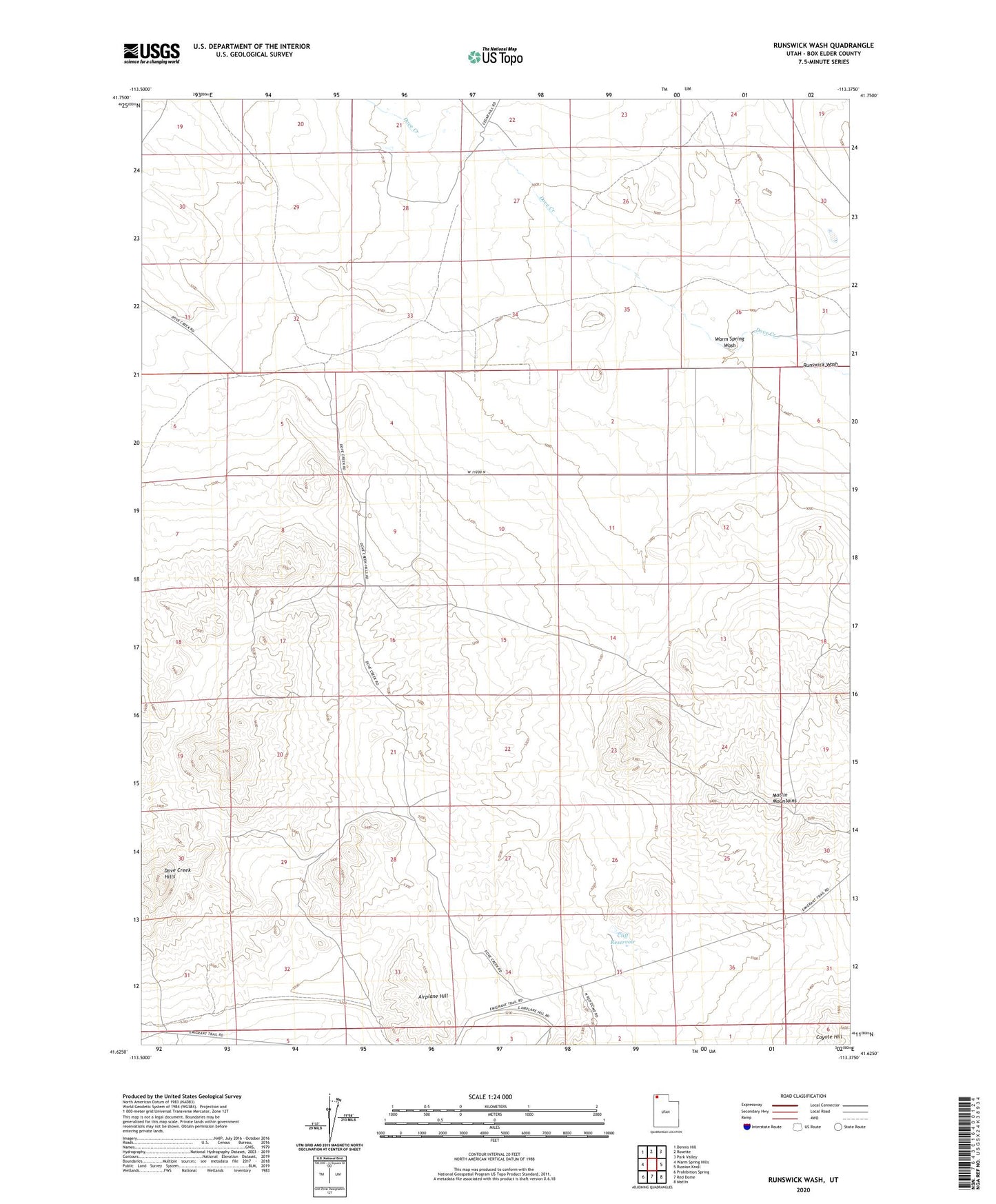
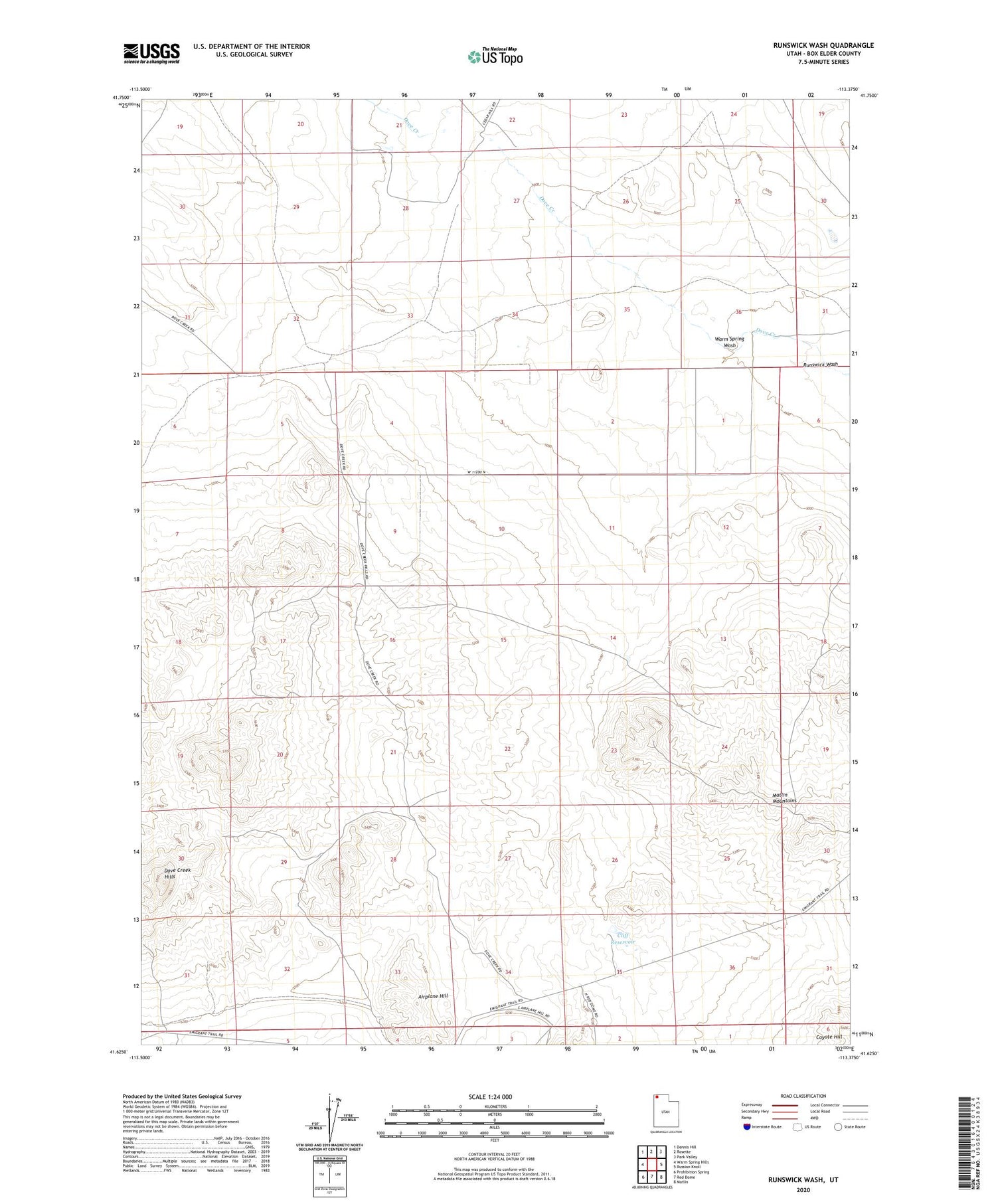
2020 topographic map quadrangle Runswick Wash in the state of Utah. Scale: 1:24000. Based on the newly updated USGS 7.5' US Topo map series, this map is in the following counties: Box Elder. The map contains contour data, water features, and other items you are used to seeing on USGS maps, but also has updated roads and other features. This is the next generation of topographic maps. Printed on high-quality waterproof paper with UV fade-resistant inks.
Quads adjacent to this one:
West: Warm Spring Hills
Northwest: Dennis Hill
North: Rosette
Northeast: Park Valley
East: Russian Knoll
Southeast: Matlin
South: Red Dome
Southwest: Prohibition Spring
Contains the following named places: Airplane Hill, Cliff Reservoir, Dove Creek Hills, Runswick Wash, Warm Spring Wash