MyTopo
Matlin Utah US Topo Map
Couldn't load pickup availability
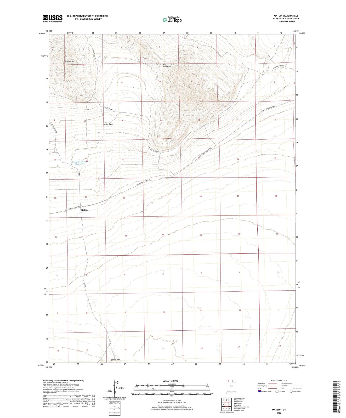
2023 topographic map quadrangle Matlin in the state of Utah. Scale: 1:24000. Based on the newly updated USGS 7.5' US Topo map series, this map is in the following counties: Box Elder. The map contains contour data, water features, and other items you are used to seeing on USGS maps, but also has updated roads and other features. This is the next generation of topographic maps. Printed on high-quality waterproof paper with UV fade-resistant inks.
Quads adjacent to this one:
West: Red Dome
Northwest: Runswick Wash
North: Russian Knoll
Northeast: Peplin Flats
East: Hogup Bar
Southeast: Tangent Peak
South: Sheep Mountain
Southwest: Terrace Mountain East
This map covers the same area as the classic USGS quad with code o41113e3.
Contains the following named places: Coyote Hill, Horse Mountain Reservoir, Matlin, Matlin Basin