MyTopo
Slickhorn Canyon East Utah US Topo Map
Couldn't load pickup availability
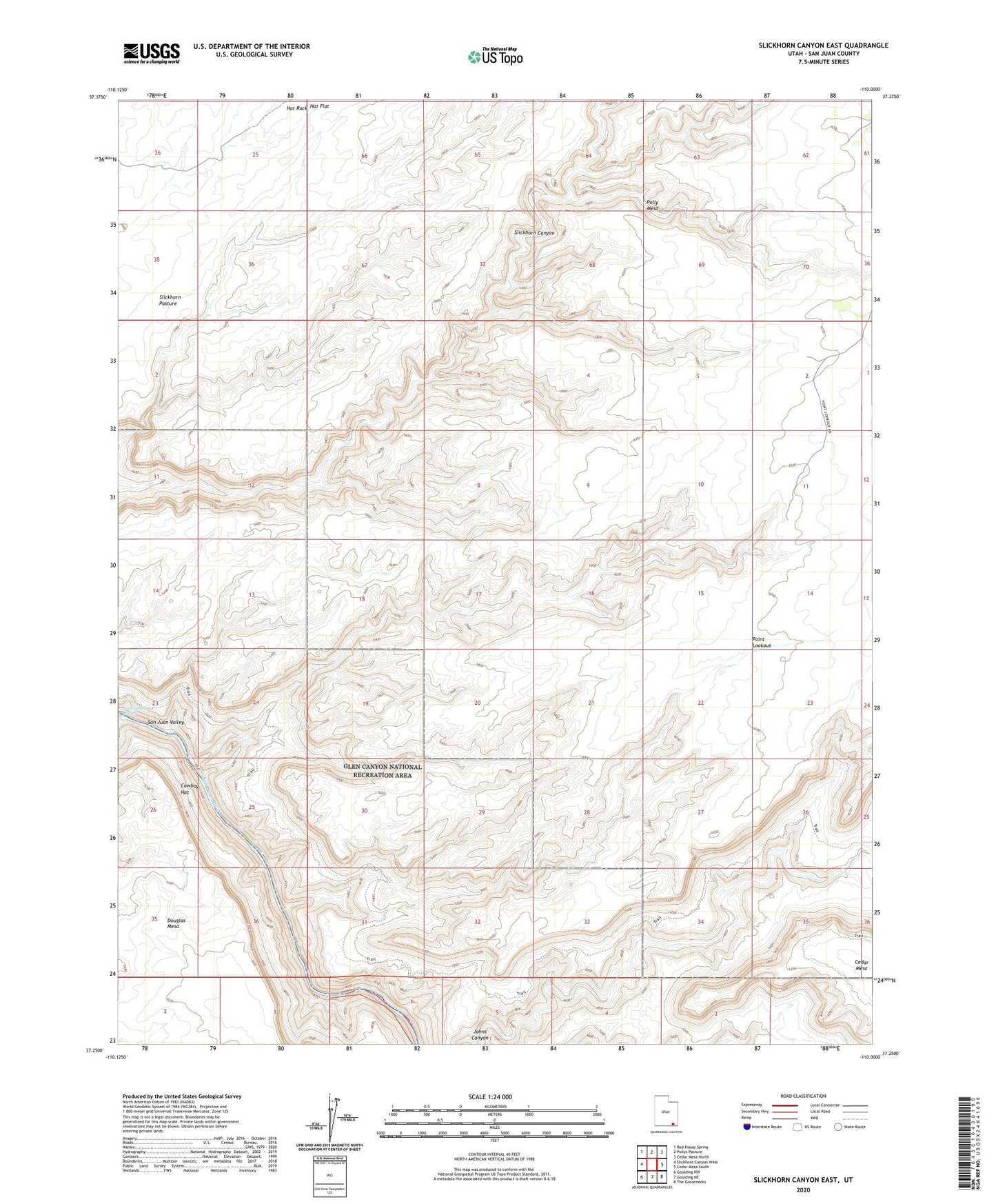
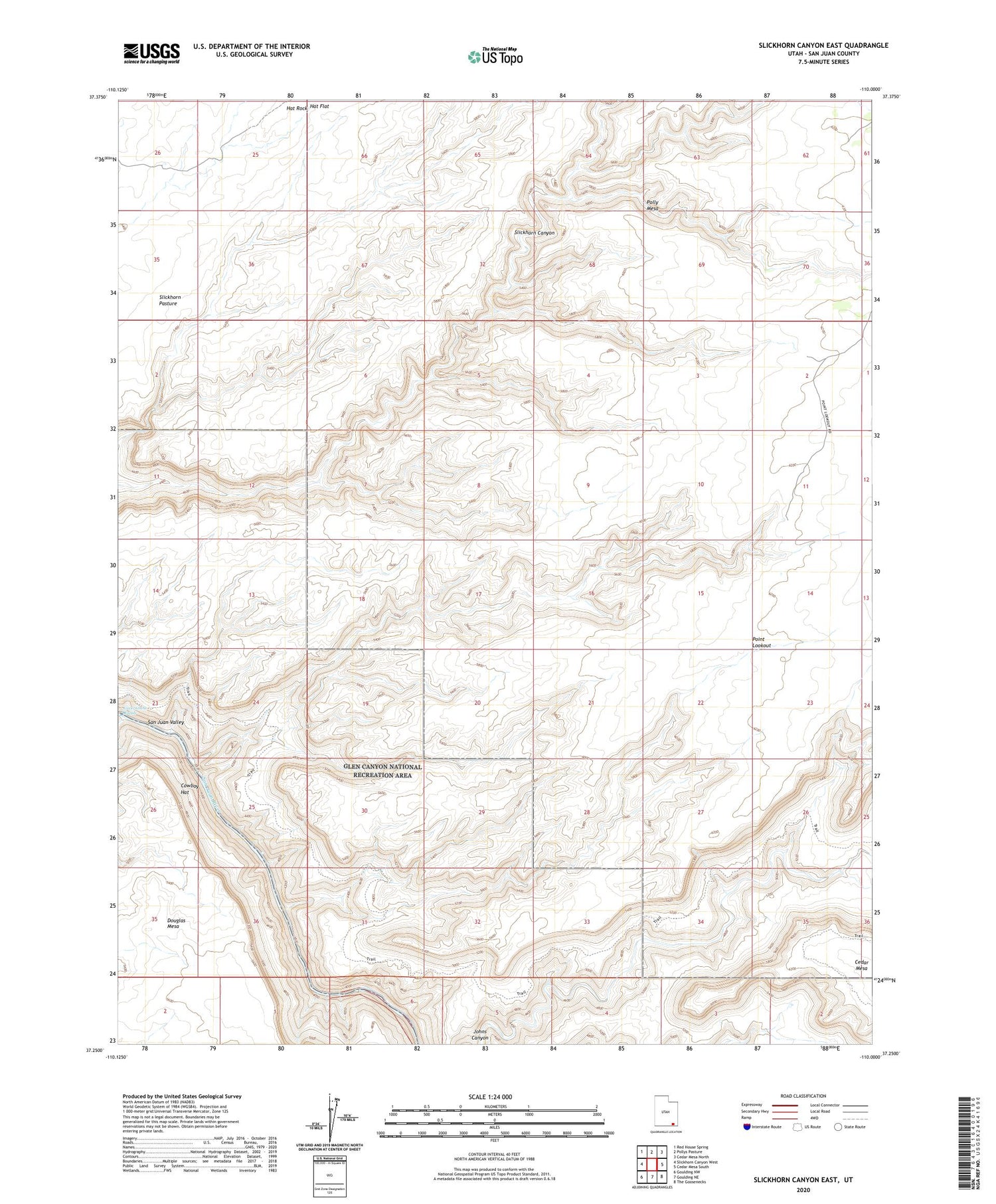
2020 topographic map quadrangle Slickhorn Canyon East in the state of Utah. Scale: 1:24000. Based on the newly updated USGS 7.5' US Topo map series, this map is in the following counties: San Juan. The map contains contour data, water features, and other items you are used to seeing on USGS maps, but also has updated roads and other features. This is the next generation of topographic maps. Printed on high-quality waterproof paper with UV fade-resistant inks.
Quads adjacent to this one:
West: Slickhorn Canyon West
Northwest: Red House Spring
North: Pollys Pasture
Northeast: Cedar Mesa North
East: Cedar Mesa South
Southeast: The Goosenecks
South: Goulding NE
Southwest: Goulding NW
Contains the following named places: Cowboy Hat, Government Rapids, Hat Flat, Hat Rock, Point Lookout, Slickhorn Pasture, Sulphur Spring