MyTopo
Cedar Mesa North Utah US Topo Map
Couldn't load pickup availability
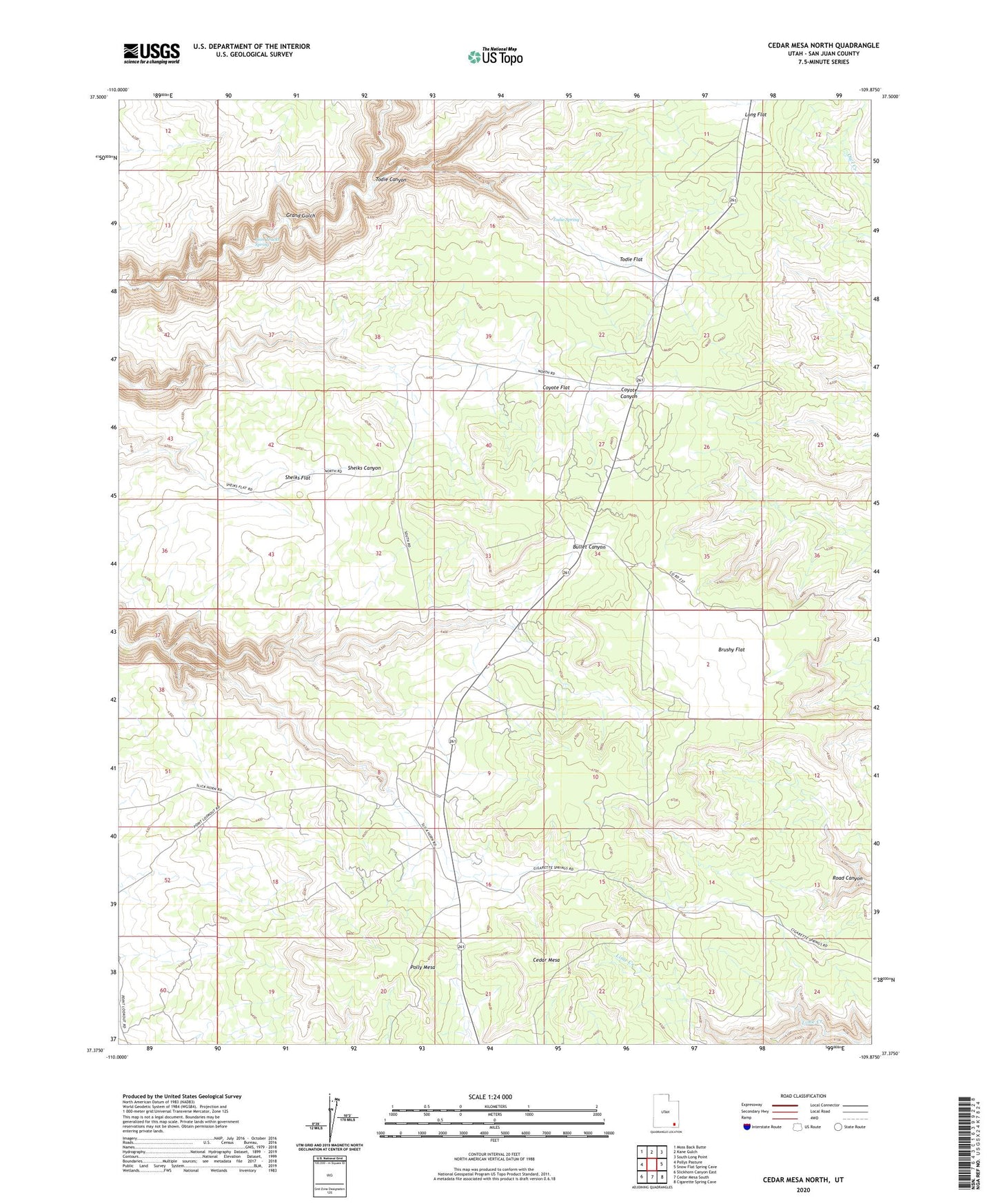
2023 topographic map quadrangle Cedar Mesa North in the state of Utah. Scale: 1:24000. Based on the newly updated USGS 7.5' US Topo map series, this map is in the following counties: San Juan. The map contains contour data, water features, and other items you are used to seeing on USGS maps, but also has updated roads and other features. This is the next generation of topographic maps. Printed on high-quality waterproof paper with UV fade-resistant inks.
Quads adjacent to this one:
West: Pollys Pasture
Northwest: Moss Back Butte
North: Kane Gulch
Northeast: South Long Point
East: Snow Flat Spring Cave
Southeast: Cigarette Spring Cave
South: Cedar Mesa South
Southwest: Slickhorn Canyon East
This map covers the same area as the classic USGS quad with code o37109d8.
Contains the following named places: Brushy Flat, Bullet Canyon Trailhead, Cedar Mesa, Coyote Flat, Lion Tracks Spring, Long Flat, Polly Mesa, Sheiks Flat, Todie Canyon, Todie Flat, Todie Spring, Watershed Study Plot