
MyTopo
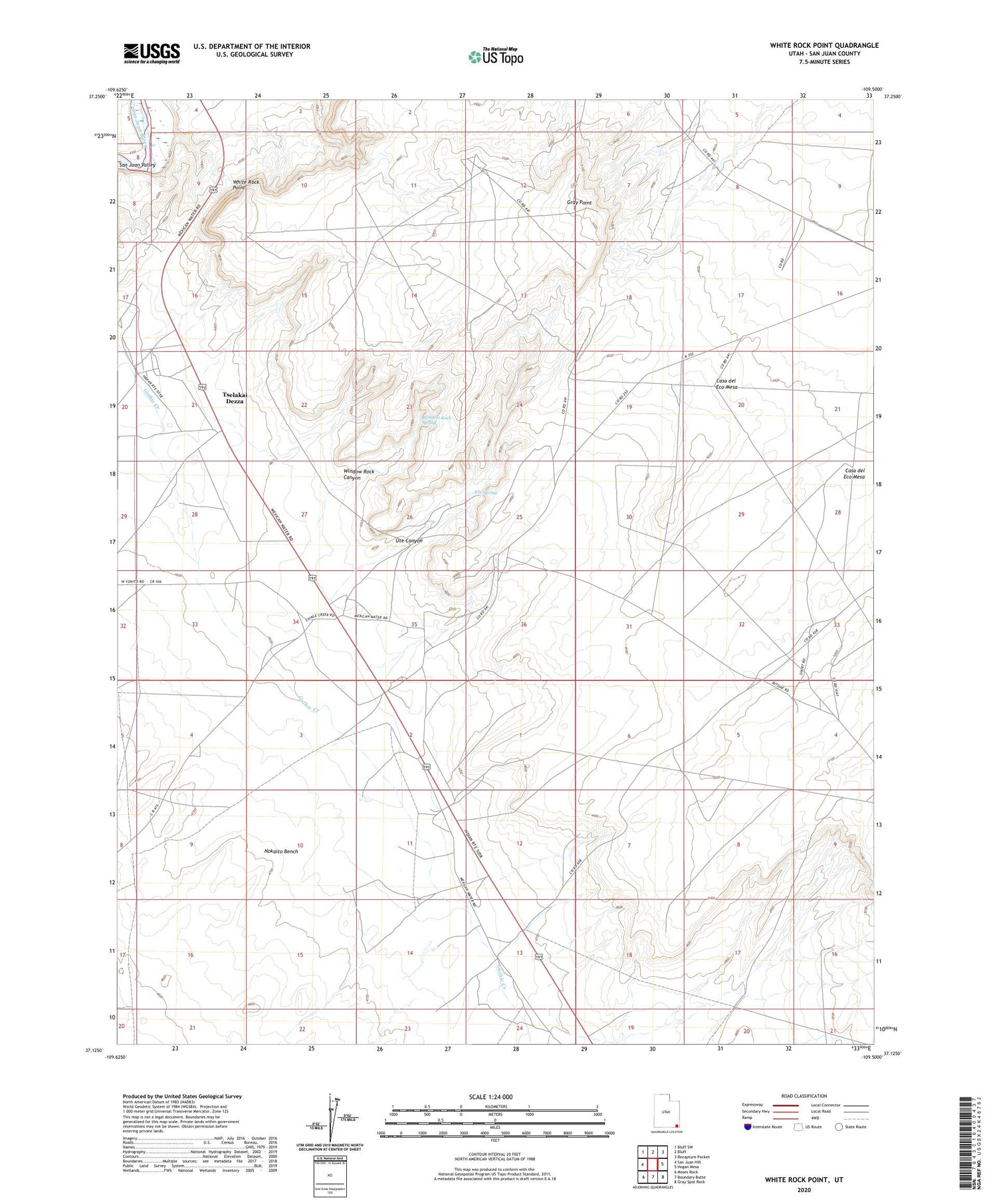
White Rock Point Utah US Topo Map
Couldn't load pickup availability
2020 topographic map quadrangle White Rock Point in the state of Utah. Scale: 1:24000. Based on the newly updated USGS 7.5' US Topo map series, this map is in the following counties: San Juan. The map contains contour data, water features, and other items you are used to seeing on USGS maps, but also has updated roads and other features. This is the next generation of topographic maps. Printed on high-quality waterproof paper with UV fade-resistant inks.
Quads adjacent to this one:
West: San Juan Hill
Northwest: Bluff SW
North: Bluff
Northeast: Recapture Pocket
East: Hogan Mesa
Southeast: Gray Spot Rock
South: Boundary Butte
Southwest: Moses Rock
Contains the following named places: Casa del Eco Mesa, Gray Point, Todahaidekani Preschool, Tohonadla Oil Field, Tselakai Dezza, Tselakai Dezza Census Designated Place, Ute Canyon, Ute Spring, White Rock Point, Window Rock Canyon, Window Rock Spring


