MyTopo
Goode Virginia US Topo Map
Couldn't load pickup availability
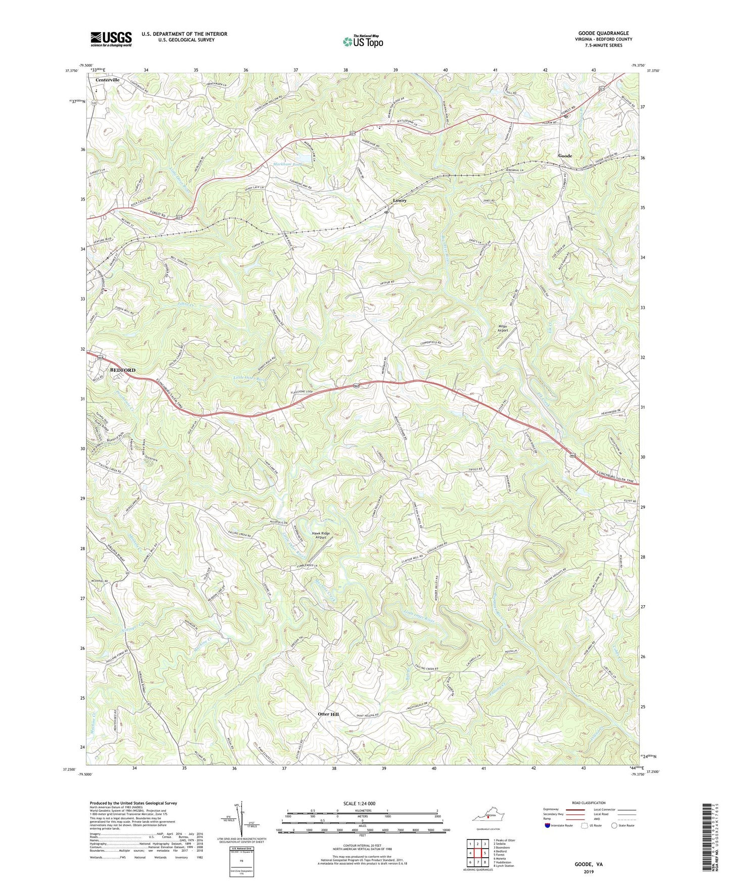
2019 topographic map quadrangle Goode in the state of Virginia. Scale: 1:24000. Based on the newly updated USGS 7.5' US Topo map series, this map is in the following counties: Bedford. The map contains contour data, water features, and other items you are used to seeing on USGS maps, but also has updated roads and other features. This is the next generation of topographic maps. Printed on high-quality waterproof paper with UV fade-resistant inks.
Quads adjacent to this one:
West: Bedford
Northwest: Peaks of Otter
North: Sedalia
Northeast: Boonsboro
East: Forest
Southeast: Lynch Station
South: Huddleston
Southwest: Moneta
Contains the following named places: Bob Branch, Bold Branch Church, Bunker Hill Creek, Center District, Centerpoint Church, Centerville, Cobbs Creek, District 7, Elk Creek, Ephesus Church, Falling Creek, Goode, Goode Church, Goode Post Office, Goode Volunteer Rescue Squad, Hawk Ridge Airport, Hickory Grove Church, Island Creek, Johns Creek, Liberty High School, Little Otter River, Lowry, Lowry Post Office, Machine Creek, Markham Dam, Markham Pond, Miller Airport, Nicopolis Church, Nininger Creek, Oak Mountain Branch, Oakland Church, Otter Hill, Otter River Elementary School, Poorhouse Creek, Shiloh Church, Skinnels Creek, Timber Ridge Church, Wells Creek, Western Light Church, Western Light School, Windy Ridge Airport, ZIP Code: 24570