MyTopo
Montvale Virginia US Topo Map
Couldn't load pickup availability
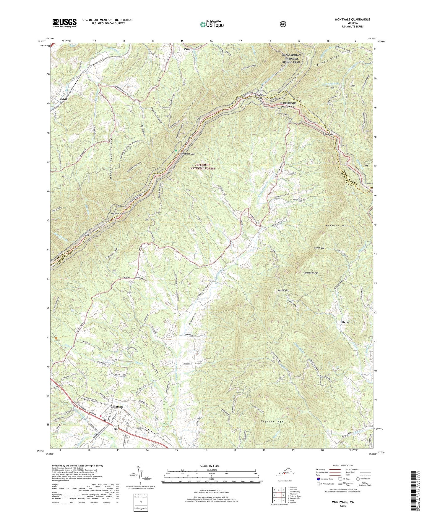
2019 topographic map quadrangle Montvale in the state of Virginia. Scale: 1:24000. Based on the newly updated USGS 7.5' US Topo map series, this map is in the following counties: Bedford, Botetourt. The map contains contour data, water features, and other items you are used to seeing on USGS maps, but also has updated roads and other features. This is the next generation of topographic maps. Printed on high-quality waterproof paper with UV fade-resistant inks.
Quads adjacent to this one:
West: Villamont
Northwest: Salisbury
North: Buchanan
Northeast: Arnold Valley
East: Peaks of Otter
Southeast: Bedford
South: Irving
Southwest: Stewartsville
Contains the following named places: Back Creek, Bearwallow Gap, Bobblets Gap, Bobblets Gap Shelter, Bufords Airport, Campbells Mountain, Chair Rock Hollow, Chair Rock Ridge, Cobbs Gap, Cool Spring Church, Cool Spring School, Cove Mountain, Day Creek, Ellis Run, Glove Creek, Goose Creek Valley Overlook, Hammond Hollow Trail, Hanging Rock Hollow, Harveys Knob, Harveys Knob Overlook, Hemp Mill Branch, Holiness Church, Iron Mine Hollow Overlooks, McCoglin Branch, McFalls Mountain, McFalls Ridge, Mill Creek, Mills Gap Overlook, Montvale, Montvale Census Designated Place, Montvale Elementary School, Montvale Overlook, Montvale Post Office, Montvale Rescue Squad, Montvale Volunteer Fire Department Company 9, Montvale Wayside, Murrill Gap, New Prospect Church, Peaks View Church, Pico, Pine Tree Overlook, Porters Mountain Overlook, Powell Gap, Purgatory Overlook, Reba, Royal Ambassador Camp, Saint Marks Church, Sharp Top Overlook, Spec Mines Trail, Tar Hollow, Taylors Mountain, Taylors Mountain Overlook, Thomas Chapel, Walnut Grove Church, ZIP Code: 24122