
MyTopo
Beverly Washington US Topo Map
Couldn't load pickup availability
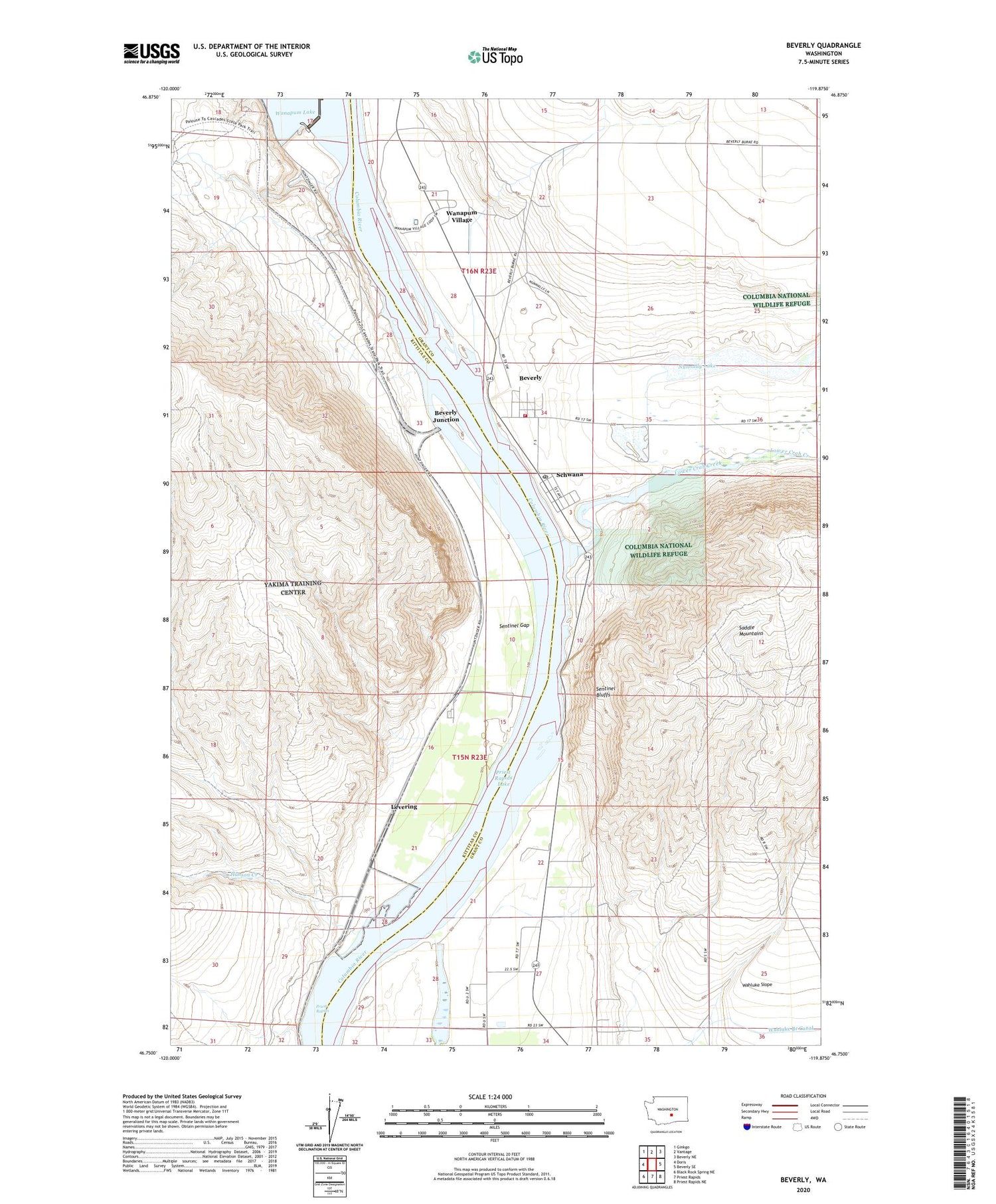
2020 topographic map quadrangle Beverly in the state of Washington. Scale: 1:24000. Based on the newly updated USGS 7.5' US Topo map series, this map is in the following counties: Grant, Kittitas. The map contains contour data, water features, and other items you are used to seeing on USGS maps, but also has updated roads and other features. This is the next generation of topographic maps. Printed on high-quality waterproof paper with UV fade-resistant inks.
Quads adjacent to this one:
West: Doris
Northwest: Ginkgo
North: Vantage
Northeast: Beverly NE
East: Beverly SE
Southeast: Priest Rapids NE
South: Priest Rapids
Southwest: Black Rock Spring NE
Contains the following named places: Beverly, Beverly Census Designated Place, Beverly Junction, Beverly Post Office, Cohasset, Grant County Fire District 10 Station 3 Beverly, Hanson Creek, Levering, Lower Crab Creek, Nunnally Lake, Priest Rapids, Schwana, Schwana Census Designated Place, Sentinel Bluffs, Sentinel Gap, Wanapum Dam, Wanapum Village


