MyTopo
Bickleton Washington US Topo Map
Couldn't load pickup availability
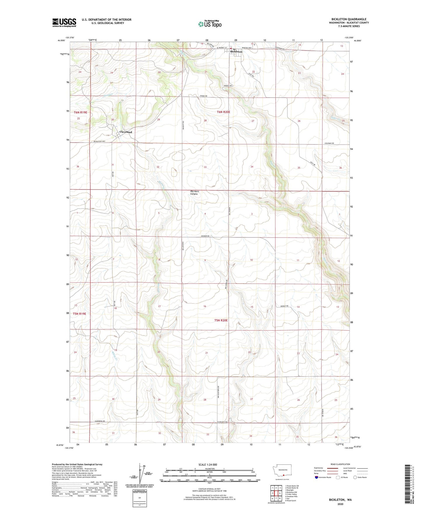
2020 topographic map quadrangle Bickleton in the state of Washington. Scale: 1:24000. Based on the newly updated USGS 7.5' US Topo map series, this map is in the following counties: Klickitat. The map contains contour data, water features, and other items you are used to seeing on USGS maps, but also has updated roads and other features. This is the next generation of topographic maps. Printed on high-quality waterproof paper with UV fade-resistant inks.
Quads adjacent to this one:
West: Bickleton NW
Northwest: Poisel Butte SW
North: Poisel Butte SE
Northeast: Bluelight
East: Crider Valley
Southeast: Wood Gulch
South: Dot
Southwest: Goodnoe Hills
Contains the following named places: Bickleton, Bickleton Elementary/High School, Bickleton Post Office, Big Horn School, Cleveland, Horse Heaven Hills Plateau Division, Klickitat County Fire District 2, Long Dam