MyTopo
Bluelight Washington US Topo Map
Couldn't load pickup availability
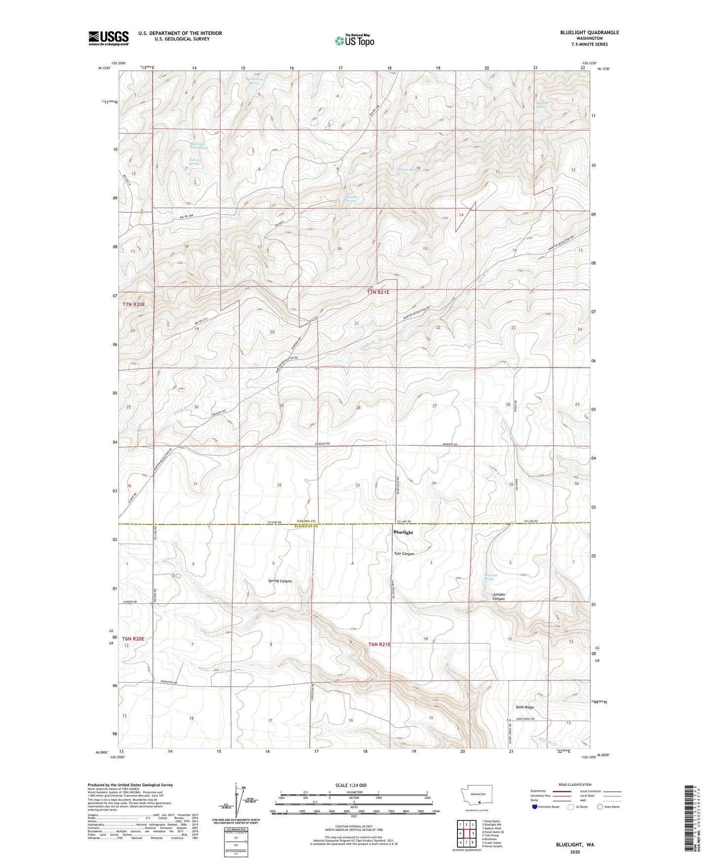
2023 topographic map quadrangle Bluelight in the state of Washington. Scale: 1:24000. Based on the newly updated USGS 7.5' US Topo map series, this map is in the following counties: Yakima, Klickitat. The map contains contour data, water features, and other items you are used to seeing on USGS maps, but also has updated roads and other features. This is the next generation of topographic maps. Printed on high-quality waterproof paper with UV fade-resistant inks.
Quads adjacent to this one:
West: Poisel Butte SE
Northwest: Poisel Butte
North: Bluelight NW
Northeast: Mabton West
East: Tule Prong
Southeast: Douty Canyon
South: Crider Valley
Southwest: Bickleton
This map covers the same area as the classic USGS quad with code o46120a2.
Contains the following named places: Bedground Spring, Bluelight, Donoho Ranch, Donohue Spring, Juniper Canyon, Mammoth Tusk Spring, Martinet Spring, Matson Spring, Randall Spring, Unit 22 Spring