MyTopo
Black Rock Spring SW Washington US Topo Map
Couldn't load pickup availability
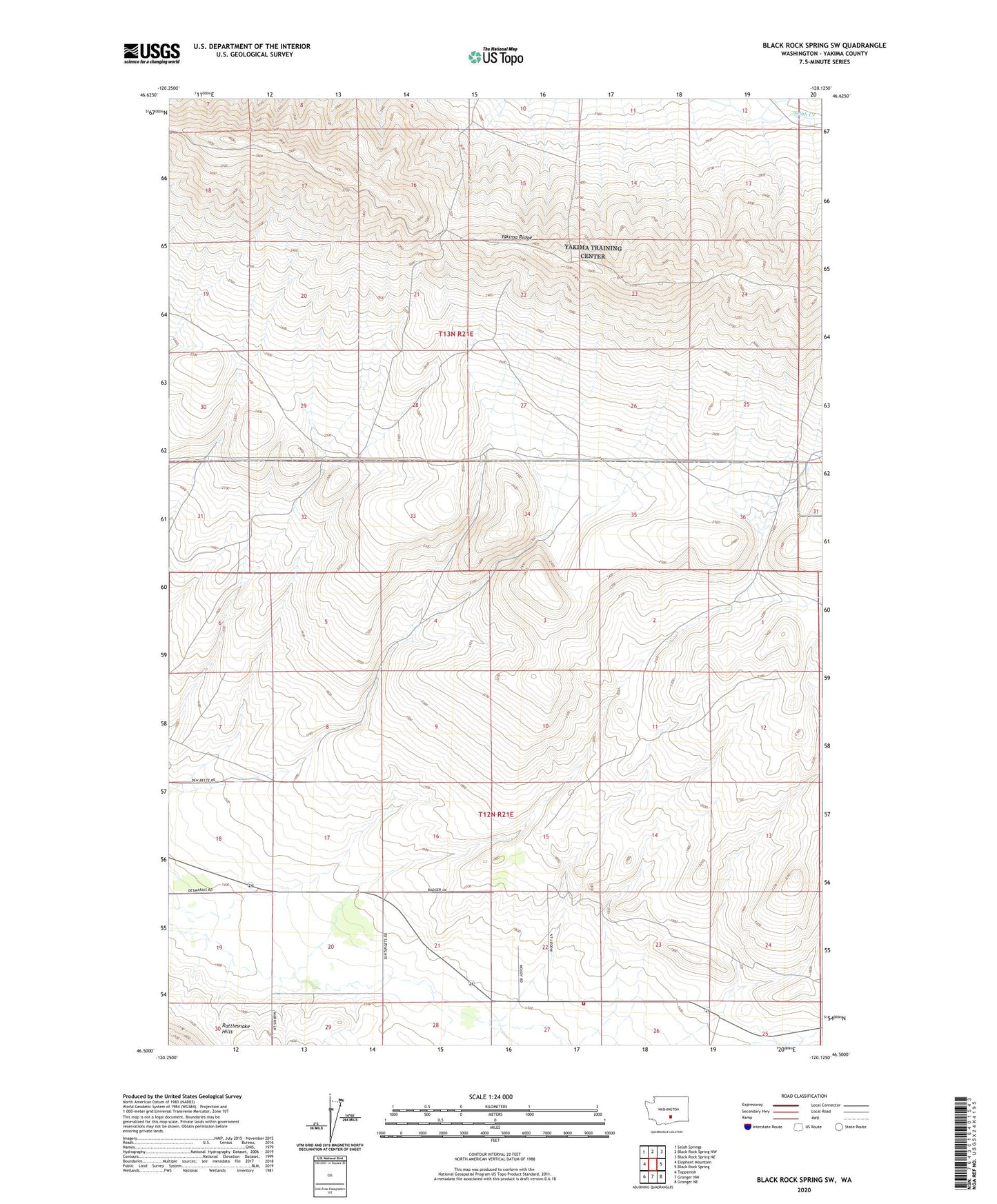
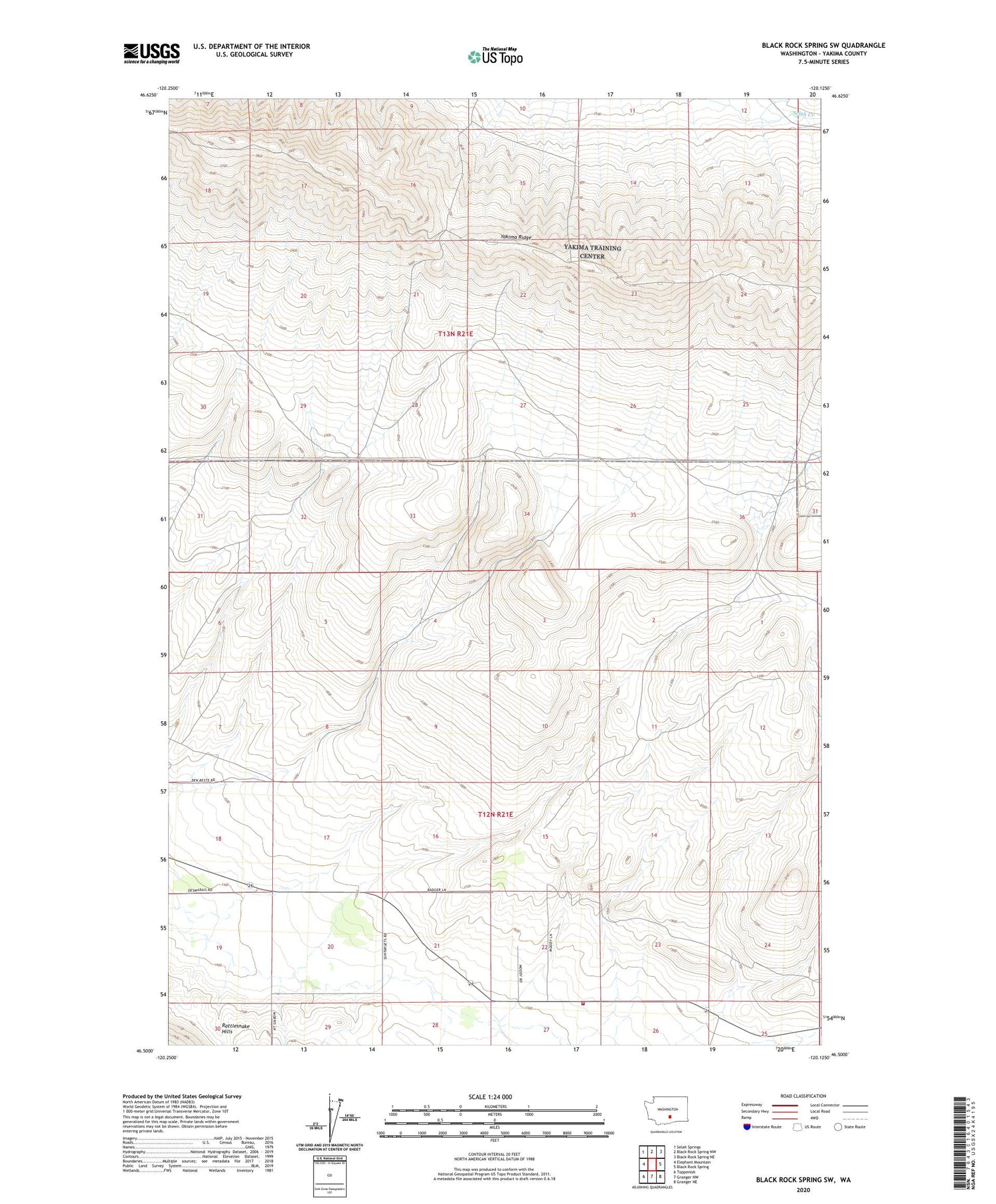
2020 topographic map quadrangle Black Rock Spring SW in the state of Washington. Scale: 1:24000. Based on the newly updated USGS 7.5' US Topo map series, this map is in the following counties: Yakima. The map contains contour data, water features, and other items you are used to seeing on USGS maps, but also has updated roads and other features. This is the next generation of topographic maps. Printed on high-quality waterproof paper with UV fade-resistant inks.
Quads adjacent to this one:
West: Elephant Mountain
Northwest: Selah Springs
North: Black Rock Spring NW
Northeast: Black Rock Spring NE
East: Black Rock Spring
Southeast: Granger NE
South: Granger NW
Southwest: Toppenish
Contains the following named places: Northeast Yakima Division, Yakima County Fire District 4 East Valley Fire Department Station 43, Yakima Ridge, ZIP Code: 98936