MyTopo
Blue Mountain Washington US Topo Map
Couldn't load pickup availability
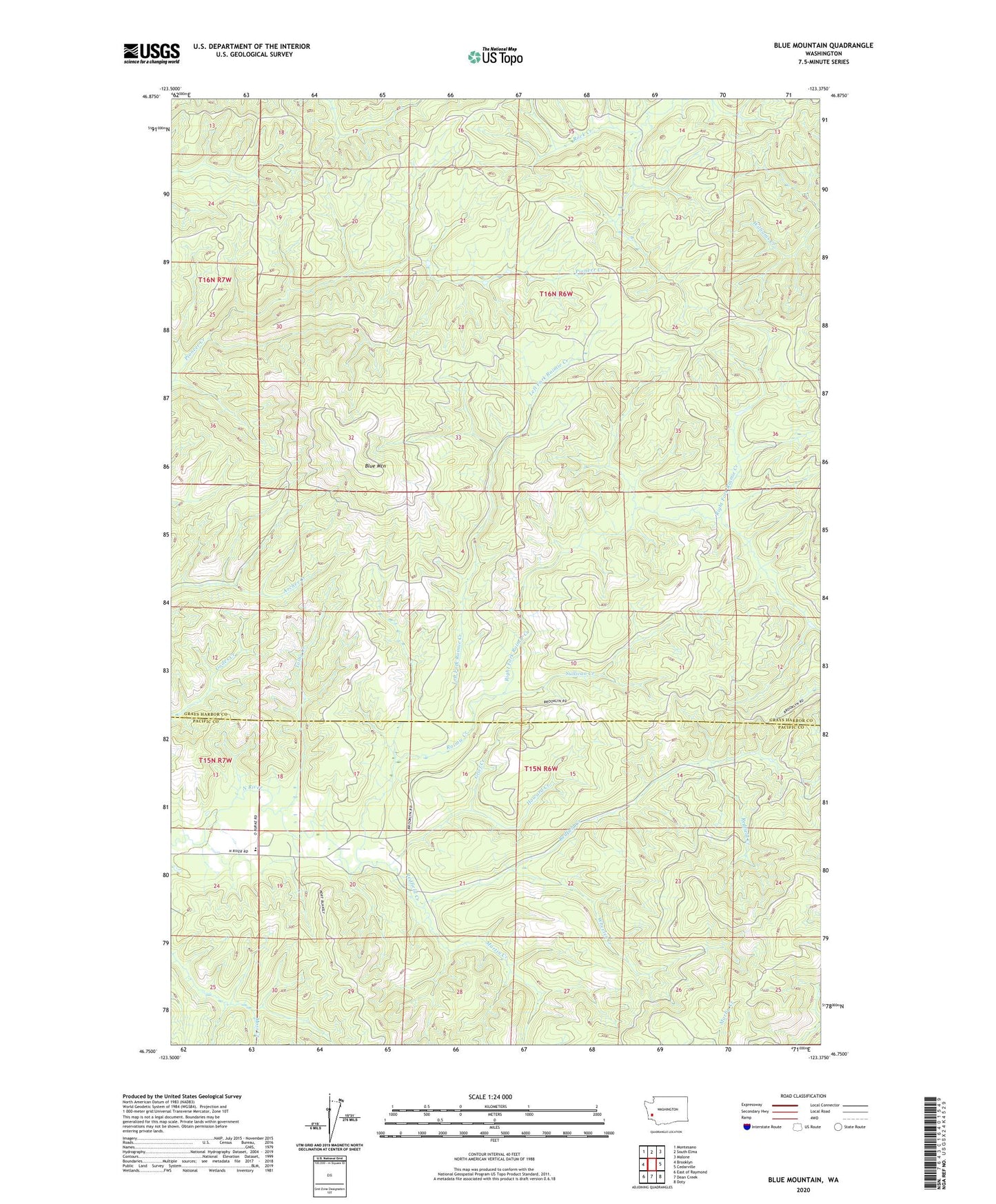
2020 topographic map quadrangle Blue Mountain in the state of Washington. Scale: 1:24000. Based on the newly updated USGS 7.5' US Topo map series, this map is in the following counties: Grays Harbor, Pacific. The map contains contour data, water features, and other items you are used to seeing on USGS maps, but also has updated roads and other features. This is the next generation of topographic maps. Printed on high-quality waterproof paper with UV fade-resistant inks.
Quads adjacent to this one:
West: Brooklyn
Northwest: Montesano
North: South Elma
Northeast: Malone
East: Cedarville
Southeast: Doty
South: Dean Creek
Southwest: East of Raymond
Contains the following named places: Blue Mountain, Grief Creek, Howard Creek, Left Fork Raimie Creek, Martin Creek, North River Consolidated School, Raimie Creek, Redfield Creek, Right Fork Raimie Creek, Sullivan Creek, Talby Creek, Vesta Truck Trail, Wheeler Creek