MyTopo
Storm King Mountain Washington US Topo Map
Couldn't load pickup availability
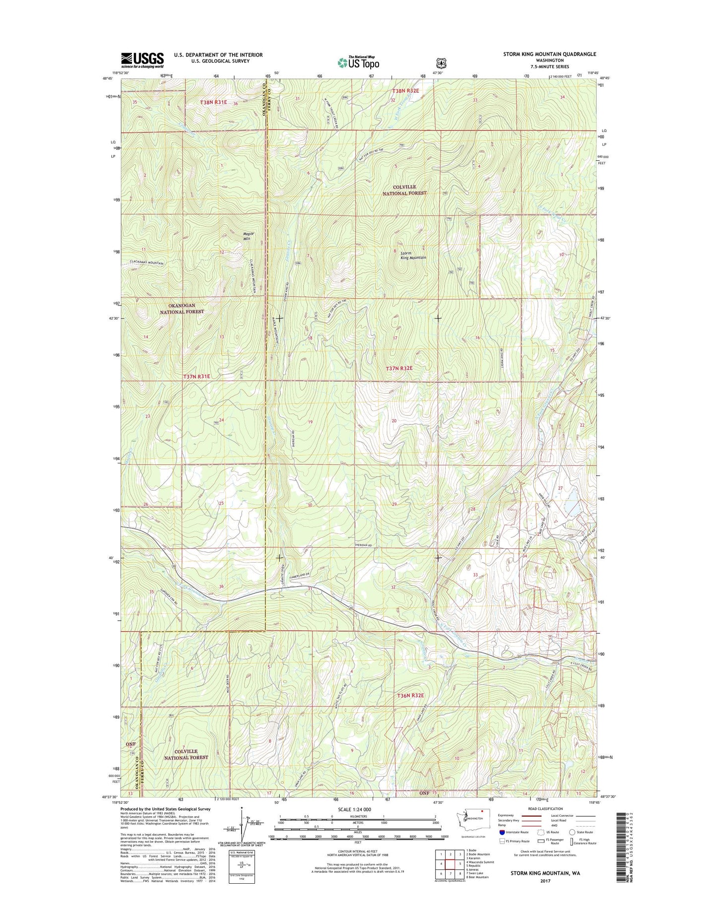
2020 topographic map quadrangle Storm King Mountain in the state of Washington. Scale: 1:24000. Based on the newly updated USGS 7.5' US Topo map series, this map is in the following counties: Ferry, Okanogan. The map contains contour data, water features, and other items you are used to seeing on USGS maps, but also has updated roads and other features. This is the next generation of topographic maps. Printed on high-quality waterproof paper with UV fade-resistant inks.
Quads adjacent to this one:
West: Wauconda Summit
Northwest: Bodie
North: Bodie Mountain
Northeast: Karamin
East: Republic
Southeast: Bear Mountain
South: Swan Lake
Southwest: Aeneas
Contains the following named places: Day Mine Tailings Pond Dam, Flag Hill Mine, Gardner Creek, Knob Hill Mine, Maple Creek, Maple Mountain, Maple Mountain Trail, Mud Lake, North Fork Granite Creek, Storm King Mountain, Storm King Trail, Tom Thumb Mine, West Fork Granite Creek