MyTopo
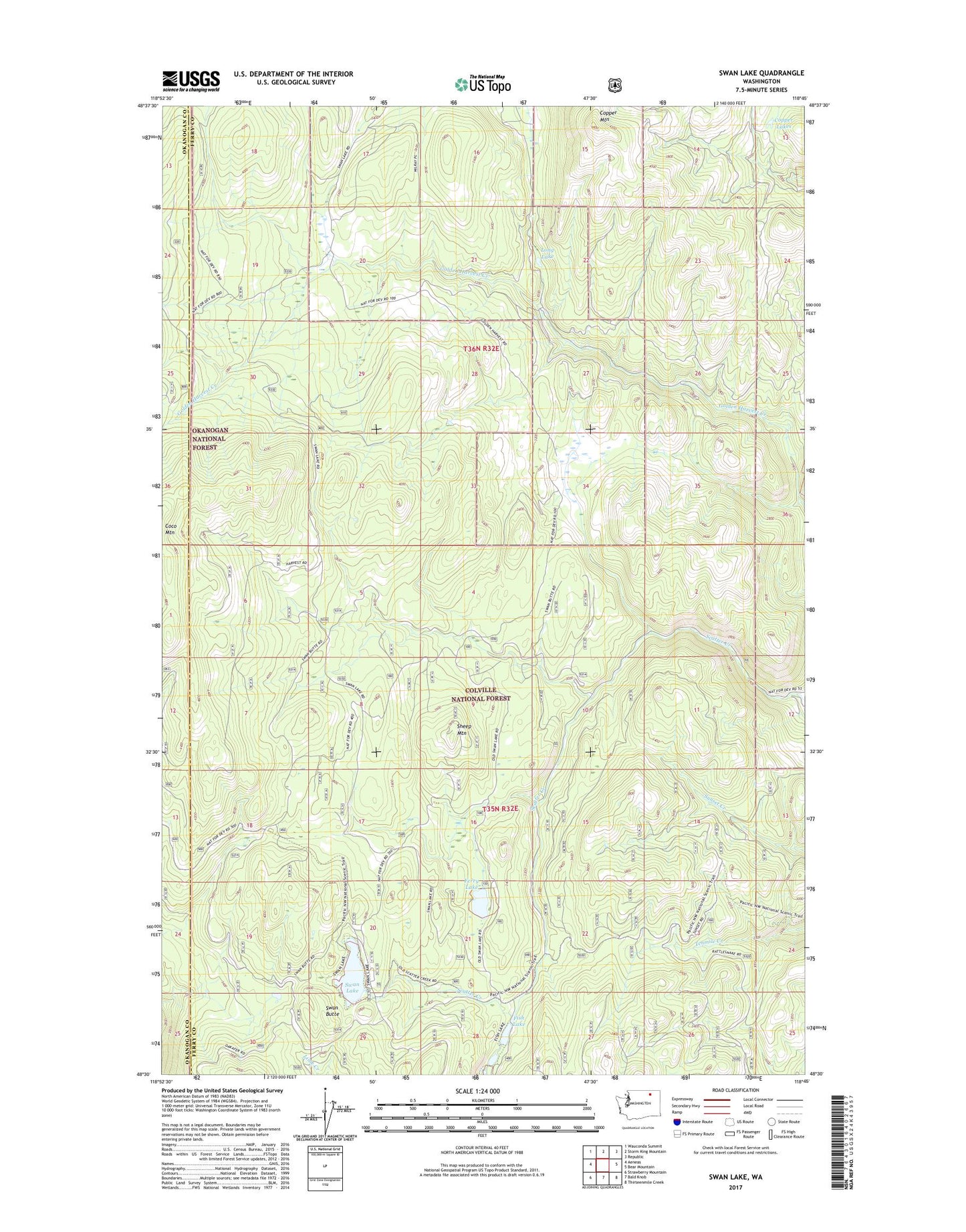
Swan Lake Washington US Topo Map
Couldn't load pickup availability
Also explore the Swan Lake Forest Service Topo of this same quad for updated USFS data
2023 topographic map quadrangle Swan Lake in the state of Washington. Scale: 1:24000. Based on the newly updated USGS 7.5' US Topo map series, this map is in the following counties: Ferry, Okanogan. The map contains contour data, water features, and other items you are used to seeing on USGS maps, but also has updated roads and other features. This is the next generation of topographic maps. Printed on high-quality waterproof paper with UV fade-resistant inks.
Quads adjacent to this one:
West: Aeneas
Northwest: Wauconda Summit
North: Storm King Mountain
Northeast: Republic
East: Bear Mountain
Southeast: Thirteenmile Creek
South: Bald Knob
Southwest: Strawberry Mountain
This map covers the same area as the classic USGS quad with code o48118e7.
Contains the following named places: Barrett Butte, Copper Lakes, Copper Mountain, Ferry Lake, Ferry Lake Campground, Ferry Lake Trail, Fish Lake, Golden Harvest Trail, Sheep Mountain, Swan Butte, Swan Lake, Swan Lake Campground, Tenmile Trail