MyTopo
Swanson Lakes Washington US Topo Map
Couldn't load pickup availability
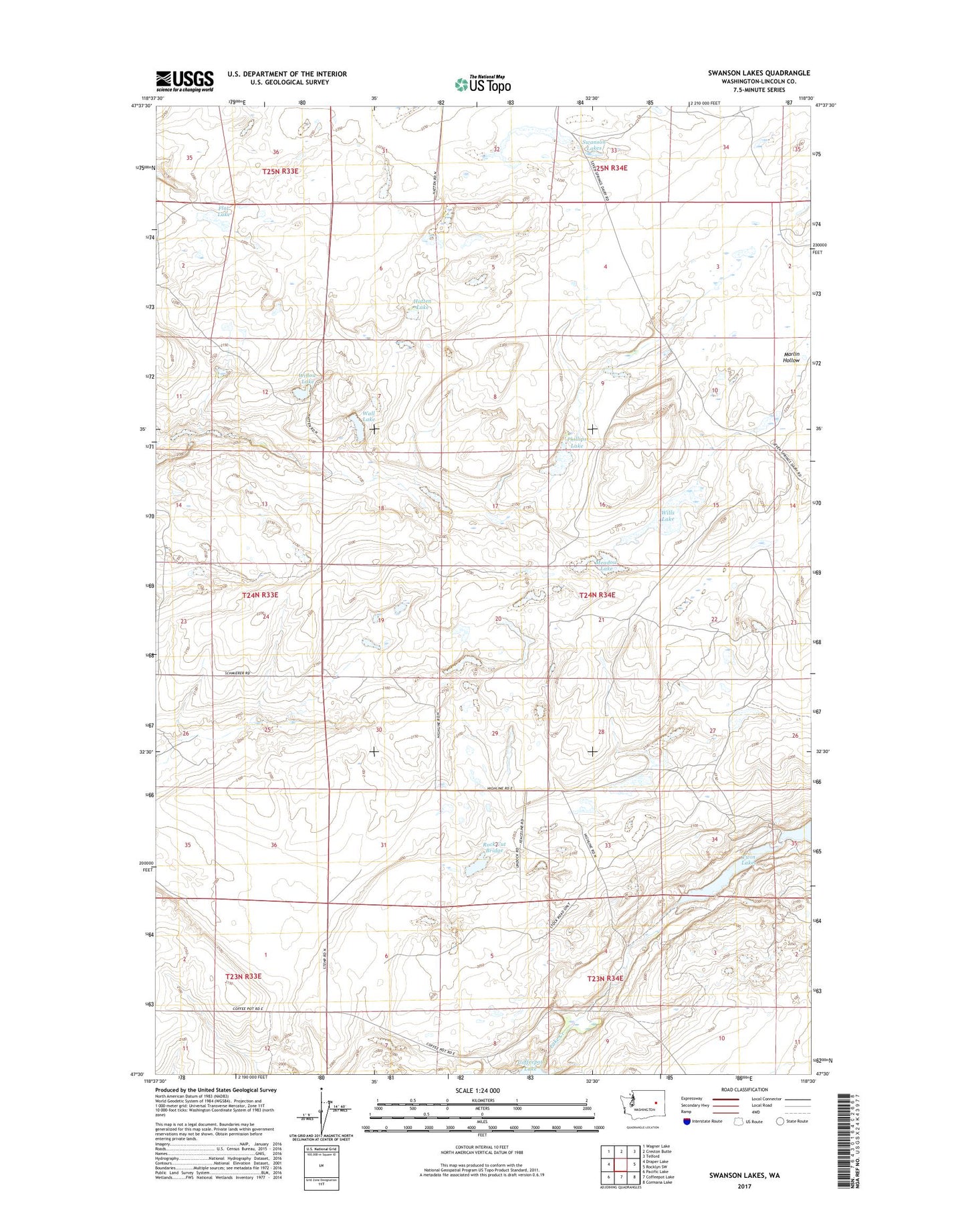
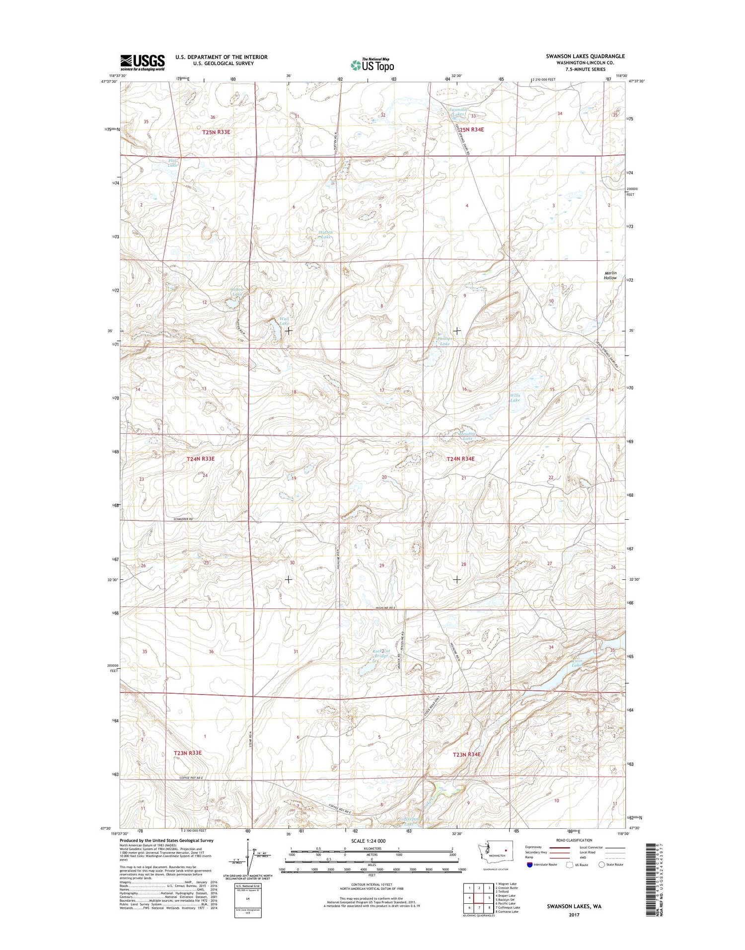
2020 topographic map quadrangle Swanson Lakes in the state of Washington. Scale: 1:24000. Based on the newly updated USGS 7.5' US Topo map series, this map is in the following counties: Lincoln. The map contains contour data, water features, and other items you are used to seeing on USGS maps, but also has updated roads and other features. This is the next generation of topographic maps. Printed on high-quality waterproof paper with UV fade-resistant inks.
Quads adjacent to this one:
West: Draper Lake
Northwest: Wagner Lake
North: Creston Butte
Northeast: Telford
East: Rocklyn SW
Southeast: Cormana Lake
South: Coffeepot Lake
Southwest: Pacific Lake
Contains the following named places: Flat Lake, Hatten Lake, Meadow Lake, Phillips Lake, Rock Cut Bridge, Rock Lake, Rock Lake Dam, Swanson Lakes, Twin Lakes, Wall Lake, Willow Lake, Wills Lake