MyTopo
Draper Lake Washington US Topo Map
Couldn't load pickup availability
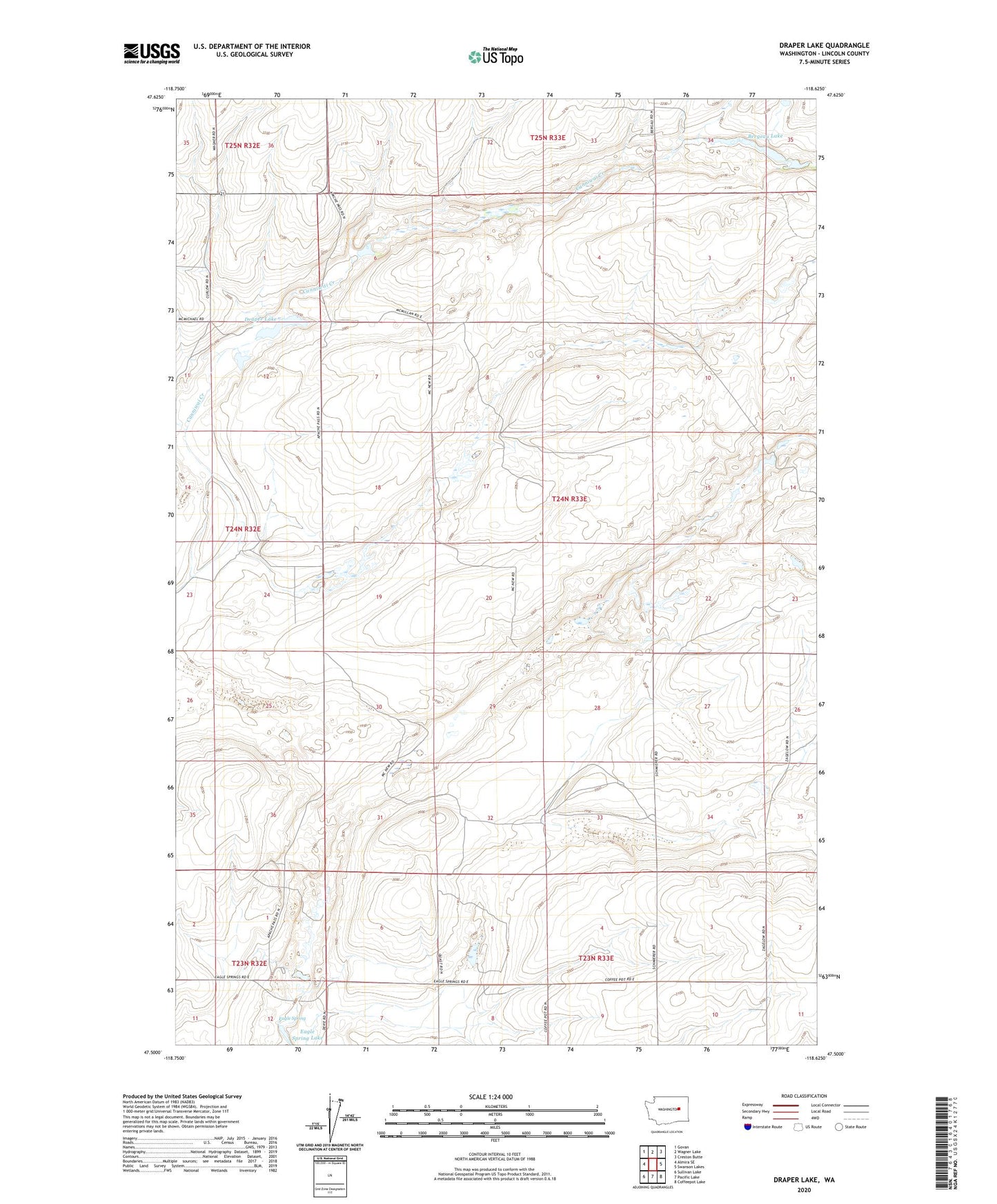
2023 topographic map quadrangle Draper Lake in the state of Washington. Scale: 1:24000. Based on the newly updated USGS 7.5' US Topo map series, this map is in the following counties: Lincoln. The map contains contour data, water features, and other items you are used to seeing on USGS maps, but also has updated roads and other features. This is the next generation of topographic maps. Printed on high-quality waterproof paper with UV fade-resistant inks.
Quads adjacent to this one:
West: Almira SE
Northwest: Govan
North: Wagner Lake
Northeast: Creston Butte
East: Swanson Lakes
Southeast: Coffeepot Lake
South: Pacific Lake
Southwest: Sullivan Lake
This map covers the same area as the classic USGS quad with code o47118e6.
Contains the following named places: Bergeau Lake, Draper Lake, Eagle Spring, Eagle Spring Lake, Wheat Ridge Grange Hall