MyTopo
Waldron Island Washington US Topo Map
Couldn't load pickup availability
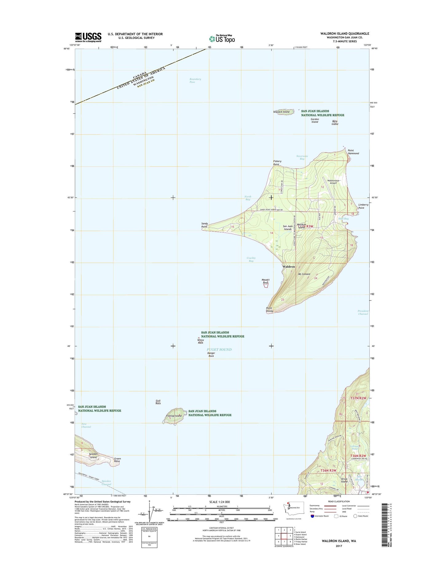
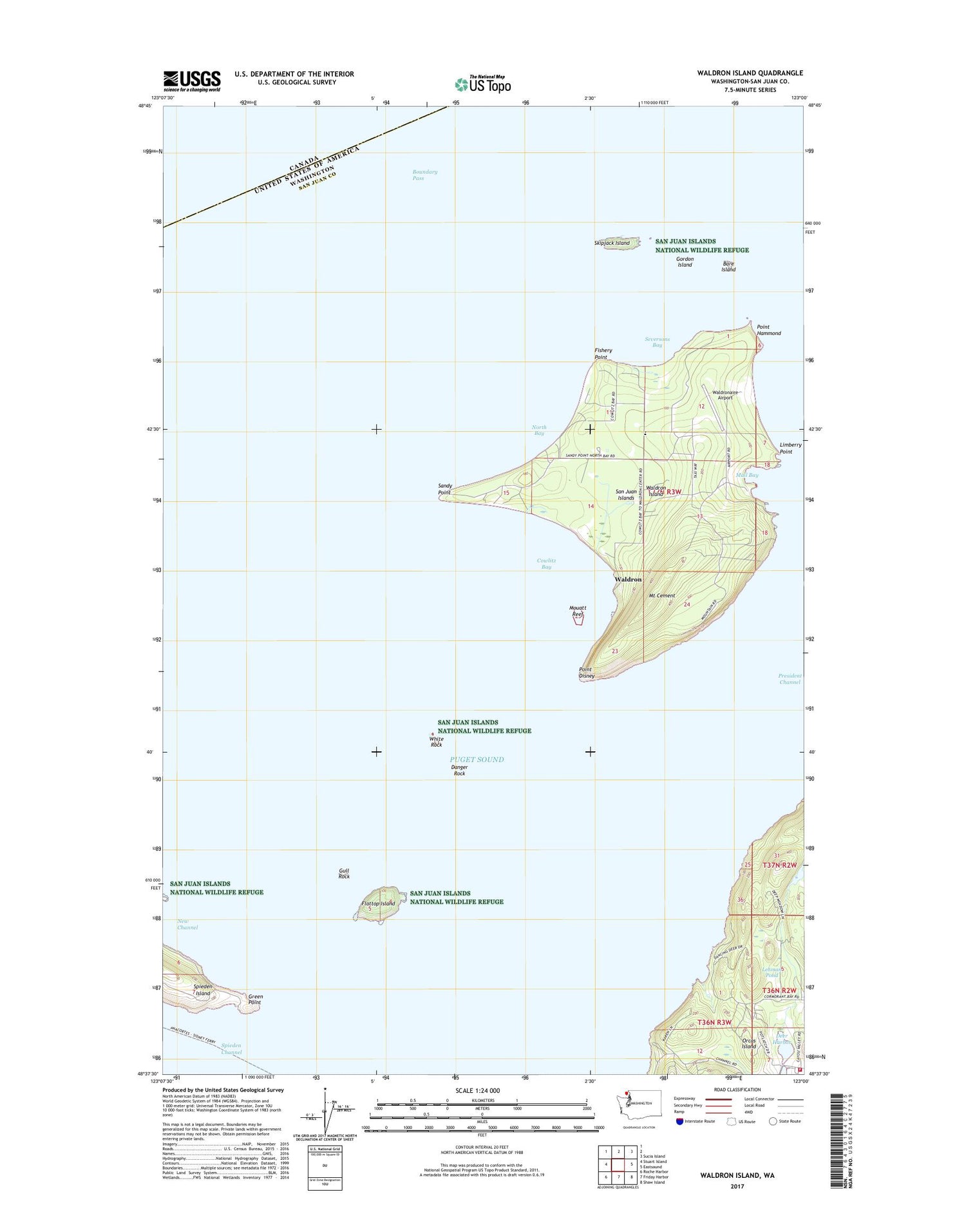
2020 topographic map quadrangle Waldron Island in the state of Washington. Scale: 1:24000. Based on the newly updated USGS 7.5' US Topo map series, this map is in the following counties: San Juan. The map contains contour data, water features, and other items you are used to seeing on USGS maps, but also has updated roads and other features. This is the next generation of topographic maps. Printed on high-quality waterproof paper with UV fade-resistant inks.
Quads adjacent to this one:
West: Stuart Island
Northeast: Sucia Island
East: Eastsound
Southeast: Shaw Island
South: Friday Harbor
Southwest: Roche Harbor
Contains the following named places: Adolphus Island, Bare Island, Boundary Pass, Cowlitz Bay, Danger Rock, Fishery Point, Flattop Island, Gordon Island, Green Point, Gull Rock, Lehman Pond, Lehman Pond Dam, Lindbery Point, Mail Bay, Mouatt Reef, Mount Cement, North Bay, Point Disney, Point Hammond, President Channel, San Juan County Fire District 2 / Orcas Island Fire and Rescue Station 24 Deer Harbor / Spring Point, Sandy Point, Seversons Bay, Skipjack Island, Waldron, Waldron Cemetery, Waldron Island, Waldron Island School, Waldronaire Airport, White Rock, ZIP Code: 98297