MyTopo
Avoca Wisconsin US Topo Map
Couldn't load pickup availability
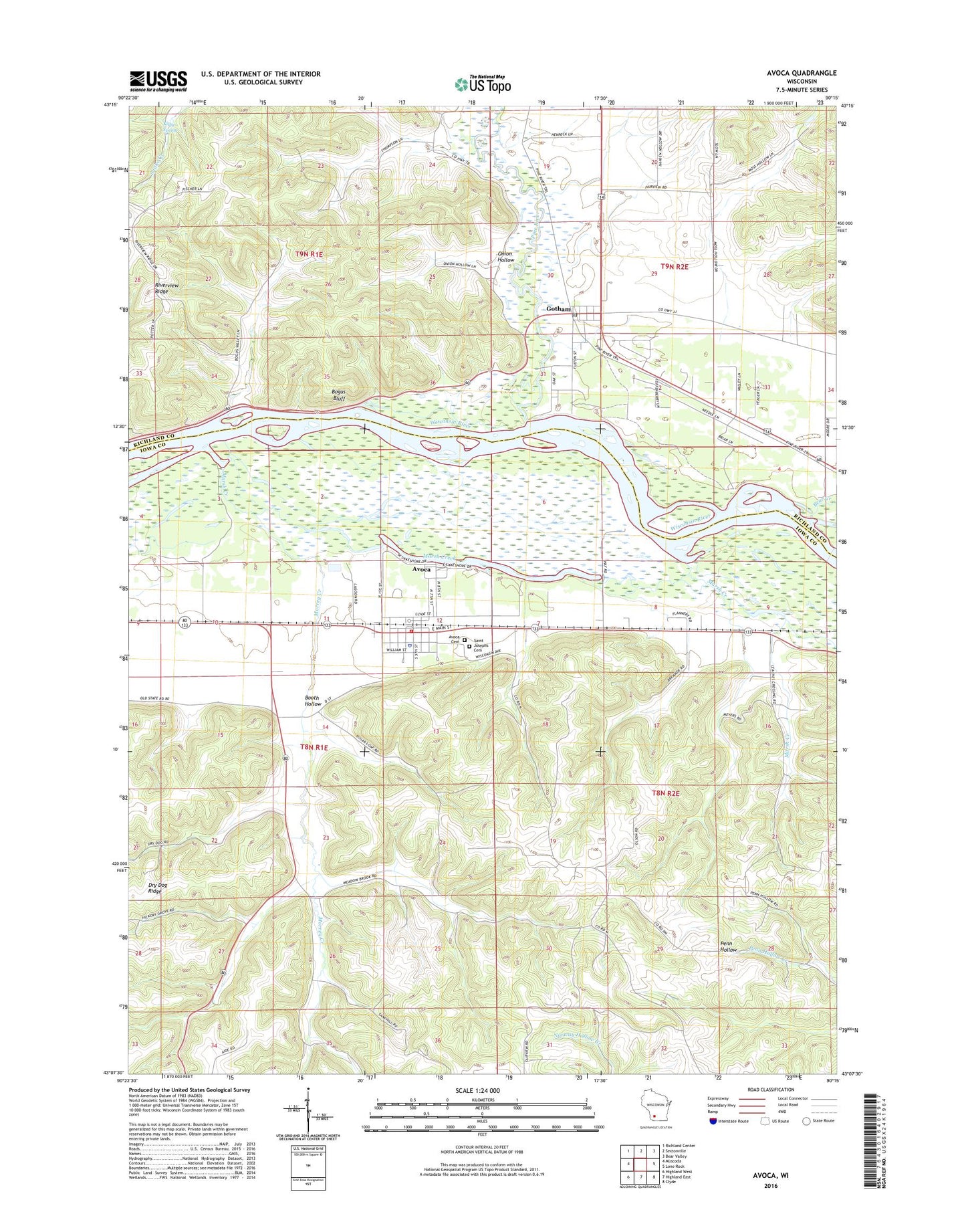
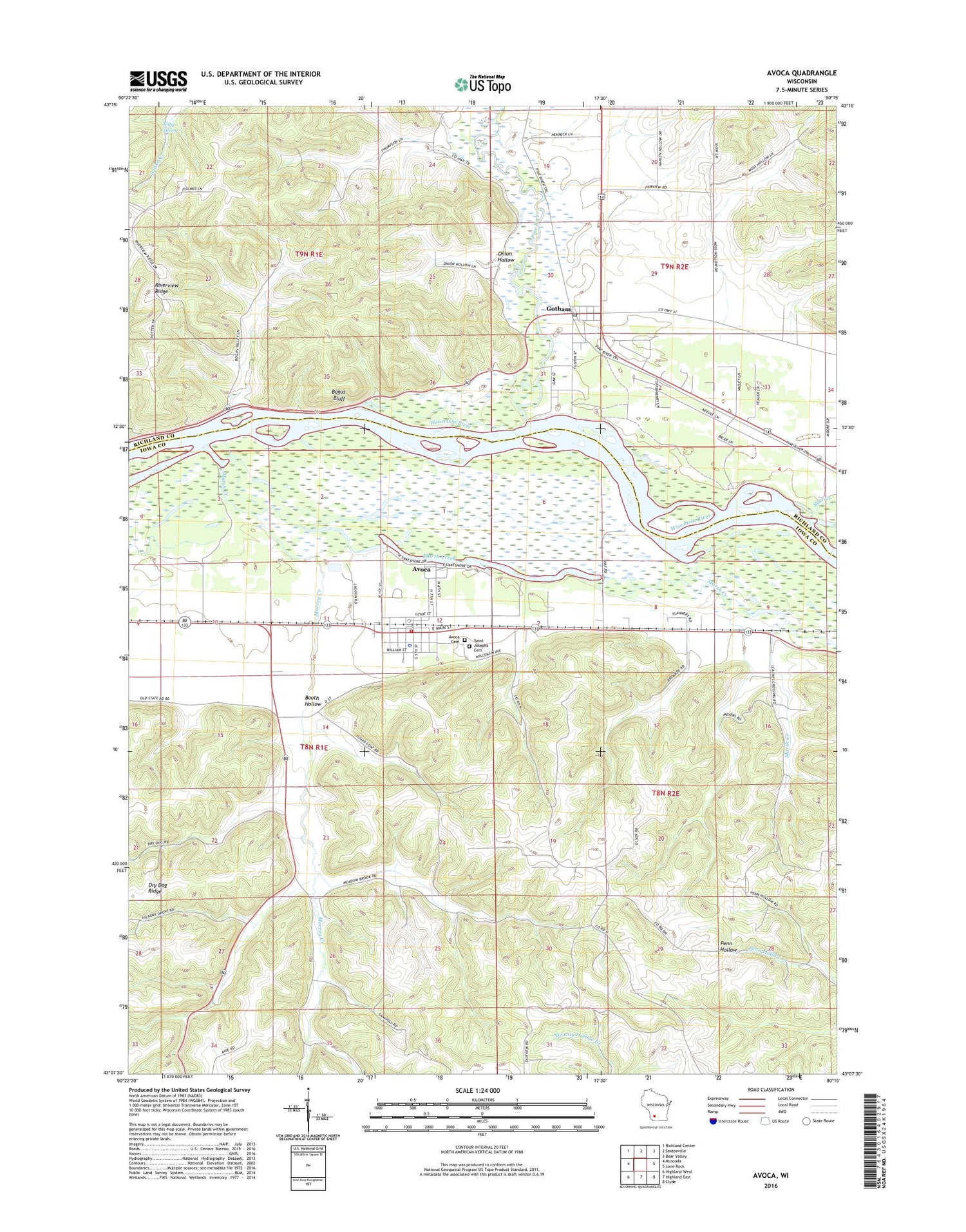
2018 topographic map quadrangle Avoca in the state of Wisconsin. Scale: 1:24000. Based on the newly updated USGS 7.5' US Topo map series, this map is in the following counties: Iowa, Richland. The map contains contour data, water features, and other items you are used to seeing on USGS maps, but also has updated roads and other features. This is the next generation of topographic maps. Printed on high-quality waterproof paper with UV fade-resistant inks.
Quads adjacent to this one:
West: Muscoda
Northwest: Richland Center
North: Sextonville
Northeast: Bear Valley
East: Lone Rock
Southeast: Clyde
South: Highland East
Southwest: Highland West
Contains the following named places: Akey School, Atwood Stock Dairy and Grain Farm, Avoca, Avoca and Rural Emergency Medical Services, Avoca and Rural Fire Department, Avoca Cemetery, Avoca Lake, Avoca Police Department, Avoca Post Office, Avoca Prairie-Savanna State Natural Area, Bear Creek, Beaver Dam Stock Farm, Bogus Bluff, Booth Hollow, Butternut Lane Farm, Evergreen Farm, Fairview Church, Gotham, Gotham Census Designated Place, Gotham Jack Pine Barrens State Natural Area, Gotham Post Office, Gotham United Methodist Church, Kilby Spring, Locust Corners Farm, Maplewood Farm, Marsh Creek, Meadow Brook School, Morrey Creek, Moss Creek Stock Farm, Onion Hollow, Orion Mussel Bed State Natural Area, Pine Bluff School, Pine River, Pine River Farm, Plainview Stock and Dairy Farm, River Valley Farm, Riverview Ridge, Riverview School, Saint Joseph's Cemetery, Scholten Dam, School Number 5, Seaman School, Town of Orion, Town of Pulaski, Village of Avoca, Walnut Grove Stock and Dairy Farm, ZIP Codes: 53506, 53540