
MyTopo
Blaine Creek Wisconsin US Topo Map
Couldn't load pickup availability
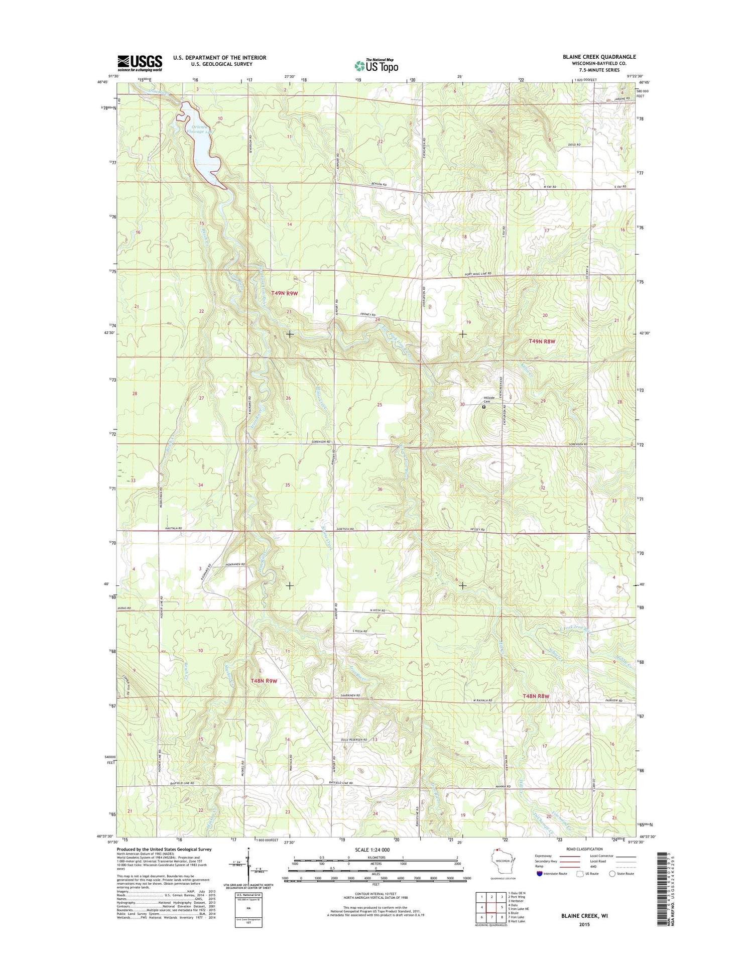
2018 topographic map quadrangle Blaine Creek in the state of Wisconsin. Scale: 1:24000. Based on the newly updated USGS 7.5' US Topo map series, this map is in the following counties: Bayfield. The map contains contour data, water features, and other items you are used to seeing on USGS maps, but also has updated roads and other features. This is the next generation of topographic maps. Printed on high-quality waterproof paper with UV fade-resistant inks.
Quads adjacent to this one:
West: Oulu
Northwest: Oulu OE N
North: Port Wing
Northeast: Herbster
East: Iron Lake NE
Southeast: Hart Lake
South: Iron Lake
Southwest: Brule
Contains the following named places: Blaine Creek, DeChamps Creek, East Fork Iron River, Hill Creek, Hillside Cemetery, Kolin Creek, Middle Creek, Muskeg Creek, Orienta Dam, Orienta Flowage, Orienta Townhall, Resch Creek, Schacte Creek, Town of Orienta, Town of Oulu, Townsend Creek


