MyTopo
Dover Wisconsin US Topo Map
Couldn't load pickup availability
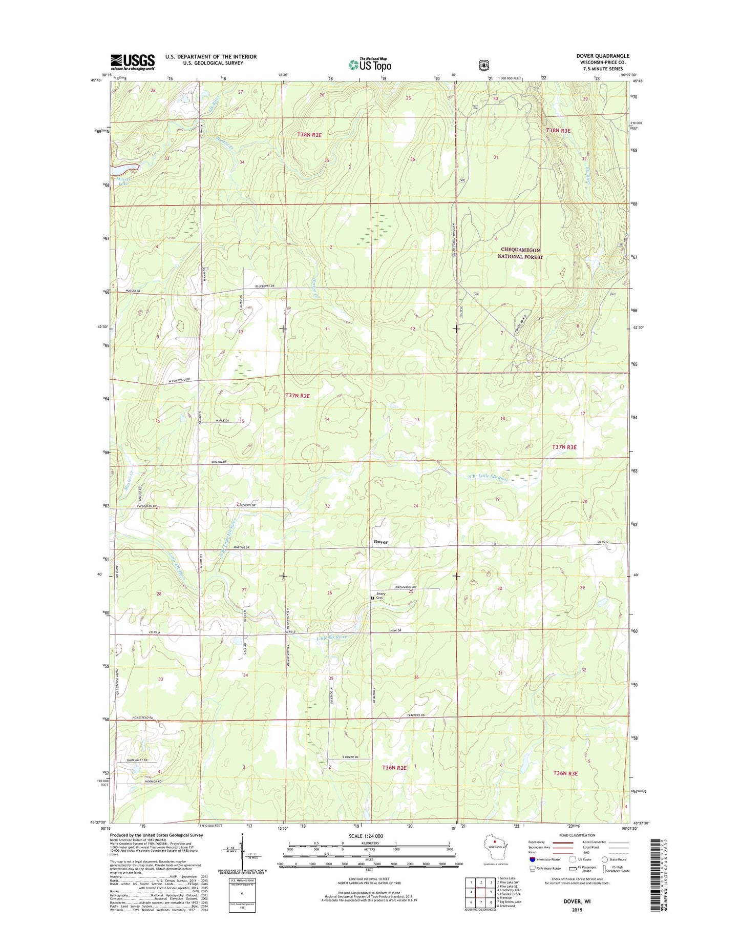
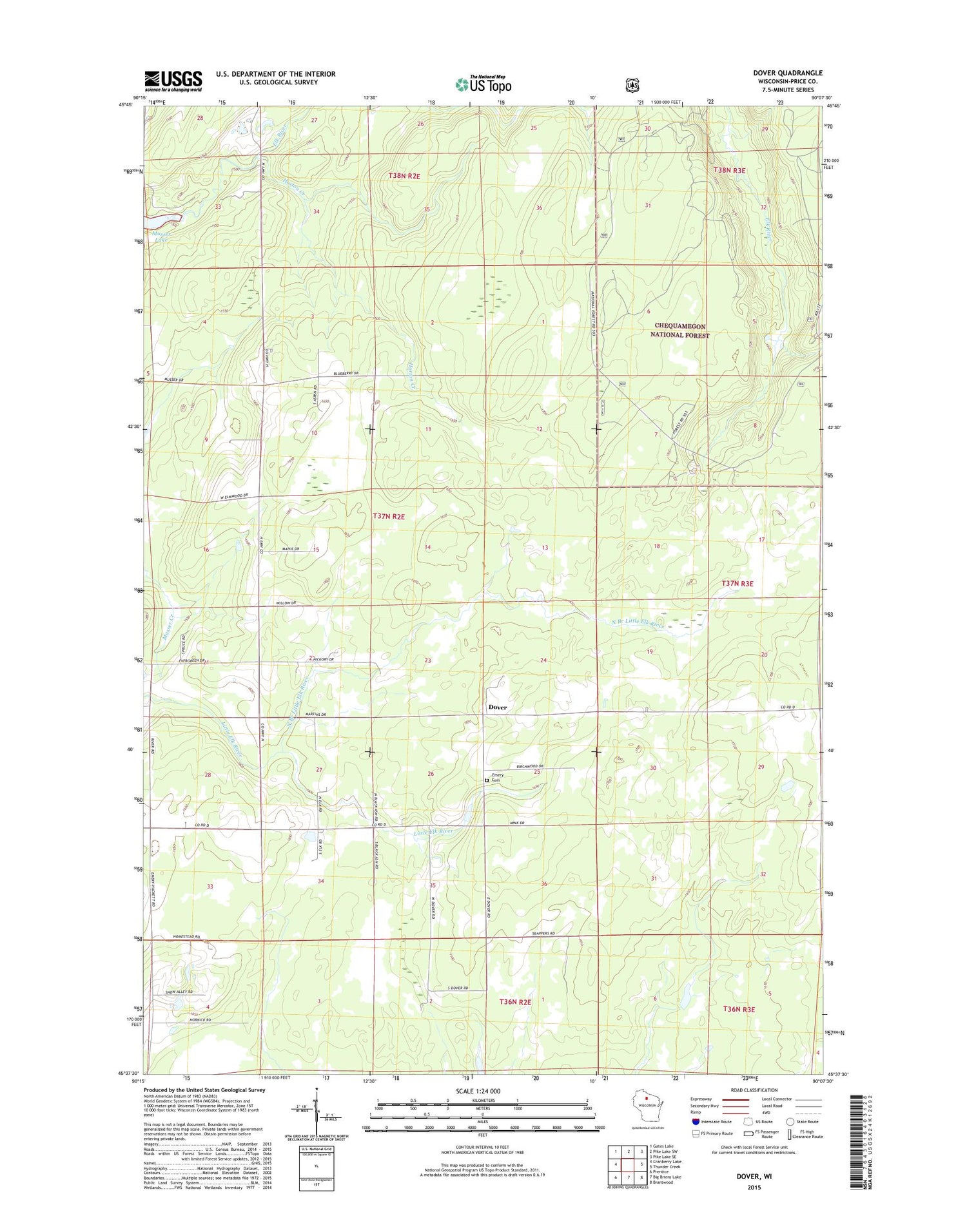
2018 topographic map quadrangle Dover in the state of Wisconsin. Scale: 1:24000. Based on the newly updated USGS 7.5' US Topo map series, this map is in the following counties: Price. The map contains contour data, water features, and other items you are used to seeing on USGS maps, but also has updated roads and other features. This is the next generation of topographic maps. Printed on high-quality waterproof paper with UV fade-resistant inks.
Quads adjacent to this one:
West: Cranberry Lake
Northwest: Gates Lake
North: Pike Lake SW
Northeast: Pike Lake SE
East: Thunder Creek
Southeast: Brantwood
South: Big Briens Lake
Southwest: Prentice
Contains the following named places: Dover, Dover 5-G School, Emery Cemetery, Emery Townhall, Horton Creek, Miller Road School, North Branch Little Elk River, Poplar Creek School, Town of Emery, Viola Villa School, Whitman School