MyTopo
Brantwood Wisconsin US Topo Map
Couldn't load pickup availability
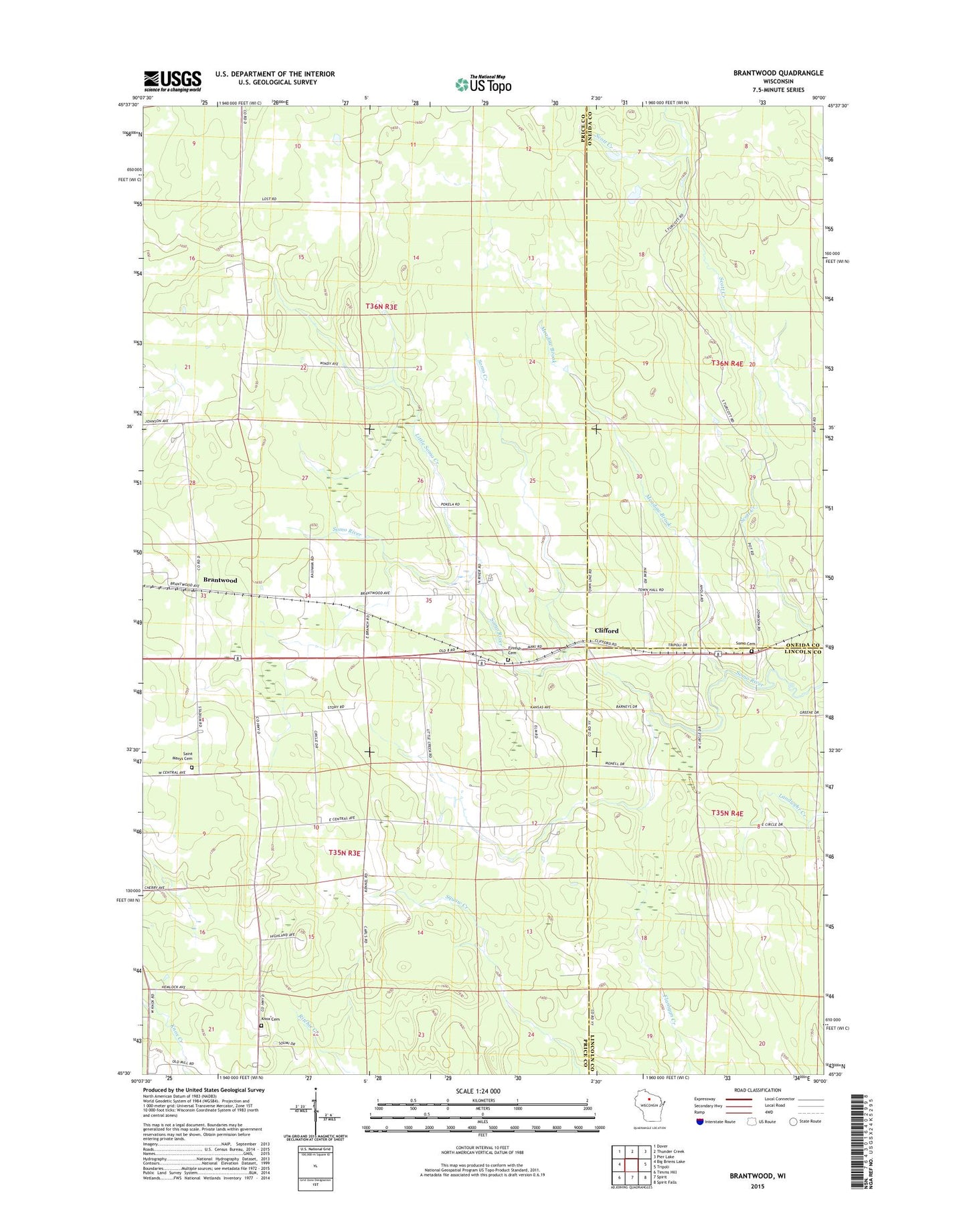
2023 topographic map quadrangle Brantwood in the state of Wisconsin. Scale: 1:24000. Based on the newly updated USGS 7.5' US Topo map series, this map is in the following counties: Price, Oneida, Lincoln. The map contains contour data, water features, and other items you are used to seeing on USGS maps, but also has updated roads and other features. This is the next generation of topographic maps. Printed on high-quality waterproof paper with UV fade-resistant inks.
Quads adjacent to this one:
West: Big Briens Lake
Northwest: Dover
North: Thunder Creek
Northeast: Pier Lake
East: Tripoli
Southeast: Spirit Falls
South: Spirit
Southwest: Timms Hill
This map covers the same area as the classic USGS quad with code o45090e1.
Contains the following named places: Brantwood, Brantwood Post Office, Clifford, Clifford Finlander Cemetery, Forest View Church, Knox Cemetery, Knox Church, Knox Mills School, Little Somo Creek, Meadow Brook, Pershing Junior High School, Pershing School, Saint Marys Cemetery, Somo Cemetery, Somo Creek, Town of Knox, Tripoli Elementary School, Zion Church