MyTopo
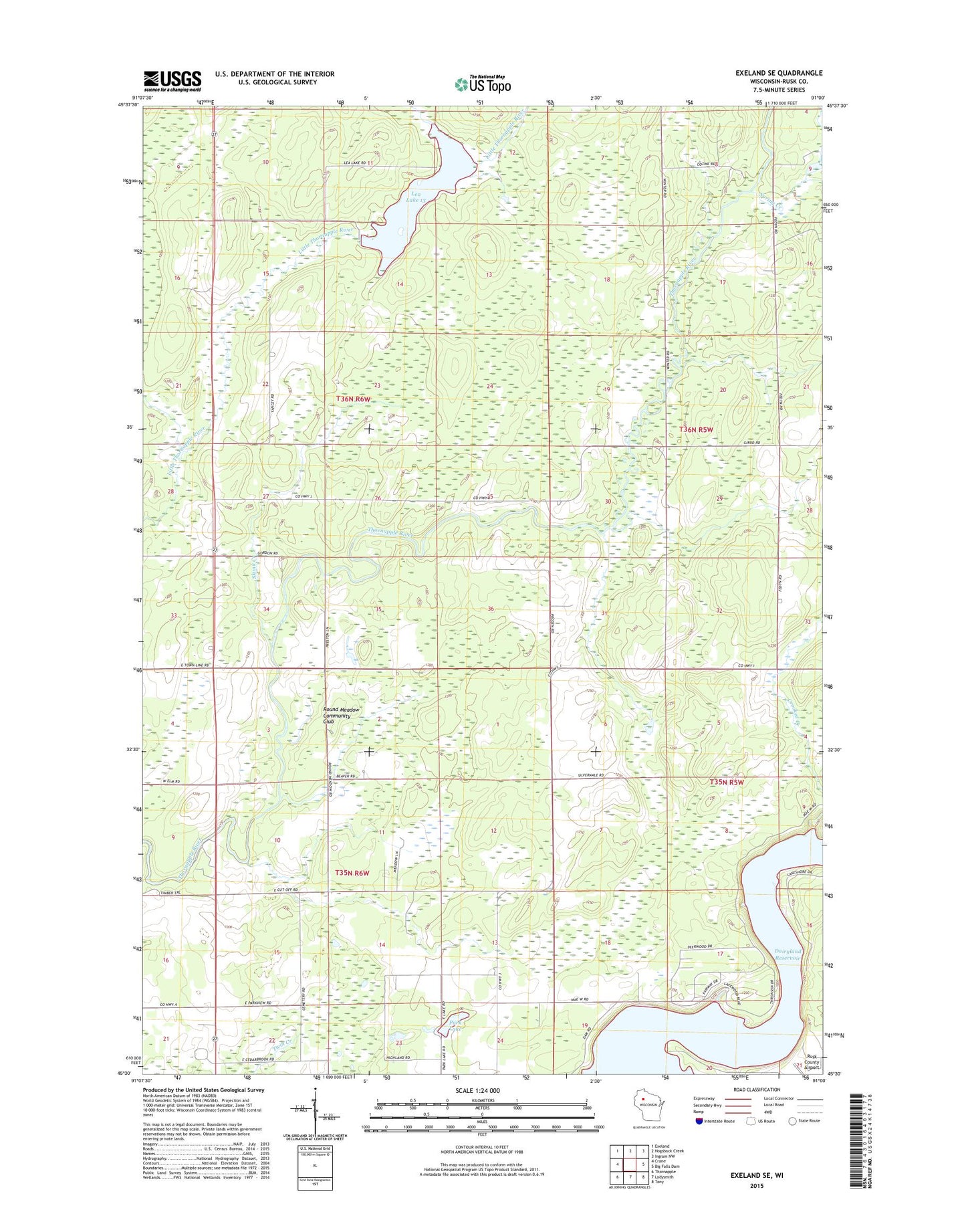
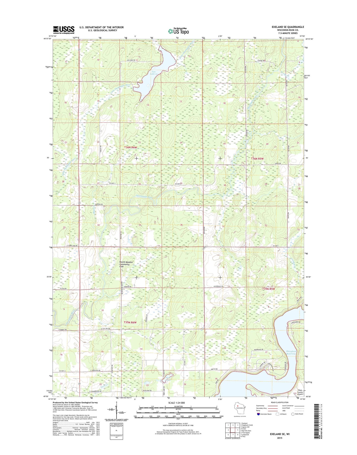
Exeland SE Wisconsin US Topo Map
Couldn't load pickup availability
2018 topographic map quadrangle Exeland SE in the state of Wisconsin. Scale: 1:24000. Based on the newly updated USGS 7.5' US Topo map series, this map is in the following counties: Rusk. The map contains contour data, water features, and other items you are used to seeing on USGS maps, but also has updated roads and other features. This is the next generation of topographic maps. Printed on high-quality waterproof paper with UV fade-resistant inks.
Quads adjacent to this one:
West: Crane
Northwest: Exeland
North: Hogsback Creek
Northeast: Ingram NW
East: Big Falls Dam
Southeast: Tony
South: Ladysmith
Southwest: Thornapple
Contains the following named places: Big Falls Townhall, Cedar Brook School, Crooked Creek, Dairy Center, Dairy Center School, Laurel Hill School, Lea Flowage, Little Thornapple River G129.3 Dam, Little Thornapple School, Park Lake, Round Meadow Community Club, Round Meadow School, Rusk County Airport, Skunk Creek, Spring Creek, Stony Creek, Town of Flambeau, ZIP Code: 54848