MyTopo
Lyman Lake Wisconsin US Topo Map
Couldn't load pickup availability
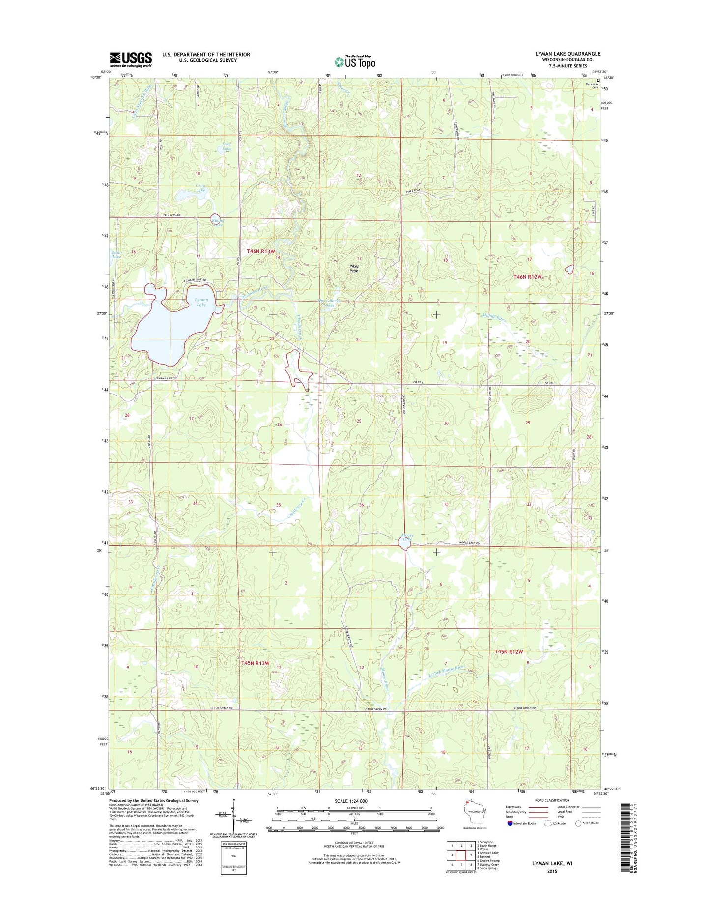
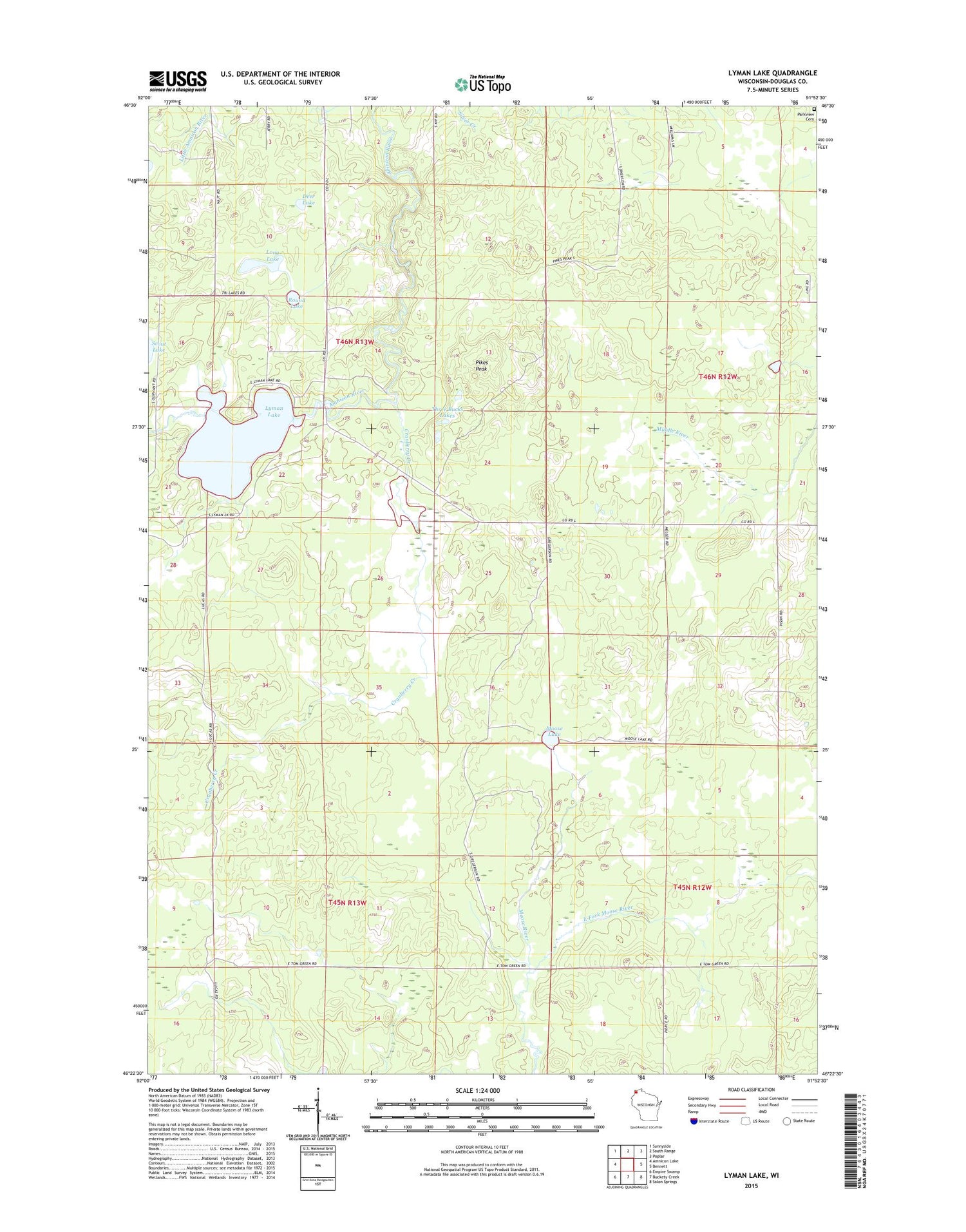
2018 topographic map quadrangle Lyman Lake in the state of Wisconsin. Scale: 1:24000. Based on the newly updated USGS 7.5' US Topo map series, this map is in the following counties: Douglas. The map contains contour data, water features, and other items you are used to seeing on USGS maps, but also has updated roads and other features. This is the next generation of topographic maps. Printed on high-quality waterproof paper with UV fade-resistant inks.
Quads adjacent to this one:
West: Amnicon Lake
Northwest: Sunnyside
North: South Range
Northeast: Poplar
East: Bennett
Southeast: Solon Springs
South: Buckety Creek
Southwest: Empire Swamp
Contains the following named places: Bennett Lookout Tower, Cranberry Creek, Cranberry Creek Flowage 3WR402 Dam, Cranberry Creek Flowage 8.3, Deer Lake, Douglas County, Long Lake, Lyman Lake, Moose Lake, Pikes Peak, Round Lake, Three Bucks Lakes, Town of Oakland