
MyTopo
Pike Lake SW Wisconsin US Topo Map
Couldn't load pickup availability
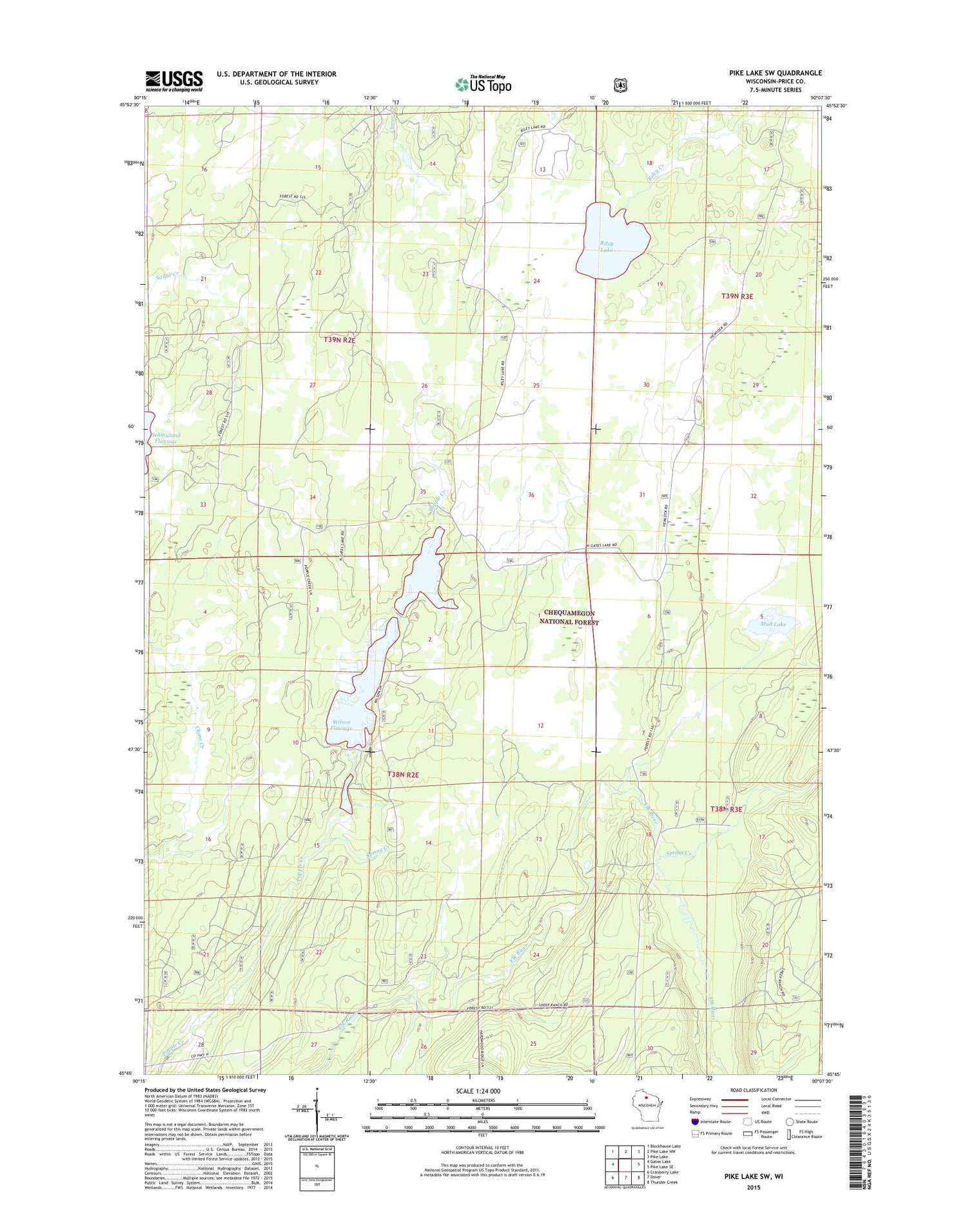
2018 topographic map quadrangle Pike Lake SW in the state of Wisconsin. Scale: 1:24000. Based on the newly updated USGS 7.5' US Topo map series, this map is in the following counties: Price. The map contains contour data, water features, and other items you are used to seeing on USGS maps, but also has updated roads and other features. This is the next generation of topographic maps. Printed on high-quality waterproof paper with UV fade-resistant inks.
Quads adjacent to this one:
West: Gates Lake
Northwest: Blockhouse Lake
North: Pike Lake NW
Northeast: Pike Lake
East: Pike Lake SE
Southeast: Thunder Creek
South: Dover
Southwest: Cranberry Lake
Contains the following named places: Hemlock Grove Camp, Mud Lake, Riley Lake, Riley Lake Wildlife Management Area, Spring Creek, Town of Fifield, Wilson Flowage


