MyTopo
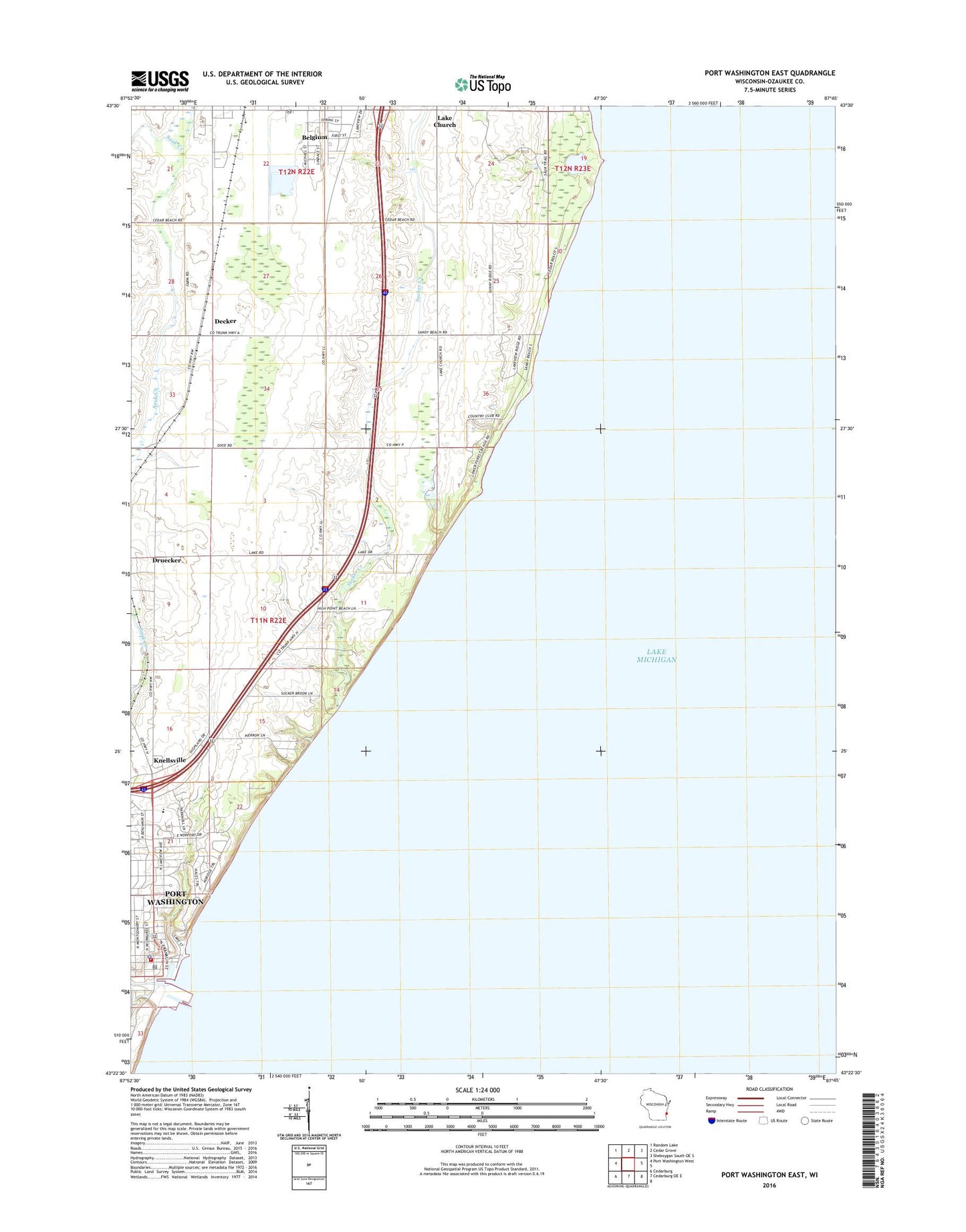
Port Washington East Wisconsin US Topo Map
Couldn't load pickup availability
2018 topographic map quadrangle Port Washington East in the state of Wisconsin. Scale: 1:24000. Based on the newly updated USGS 7.5' US Topo map series, this map is in the following counties: Ozaukee. The map contains contour data, water features, and other items you are used to seeing on USGS maps, but also has updated roads and other features. This is the next generation of topographic maps. Printed on high-quality waterproof paper with UV fade-resistant inks.
Quads adjacent to this one:
West: Port Washington West
Northwest: Random Lake
North: Cedar Grove
Northeast: Sheboygan South OE S
South: Cedarburg OE E
Southwest: Cedarburg
Contains the following named places: Belgium, Belgium Post Office, Decker, Druecker, Friedens Evangelical Church, Knellsville, Lake Church, Lake Park, Ozaukee County Courthouse, Port Washington Catholic School, Port Washington Fire Department, Port Washington Police Department, Port Washington Post Office, Port Washington Wastewater Treatment Plant, Port Washington Yacht Club, Public School Number 1, Saint Mary Parish School, Saint Marys Roman Catholic Church, Saint Marys School, Sauk Creek, South Jetty Light, South Pier Light, Sucker Creek