MyTopo
Rochester Wisconsin US Topo Map
Couldn't load pickup availability
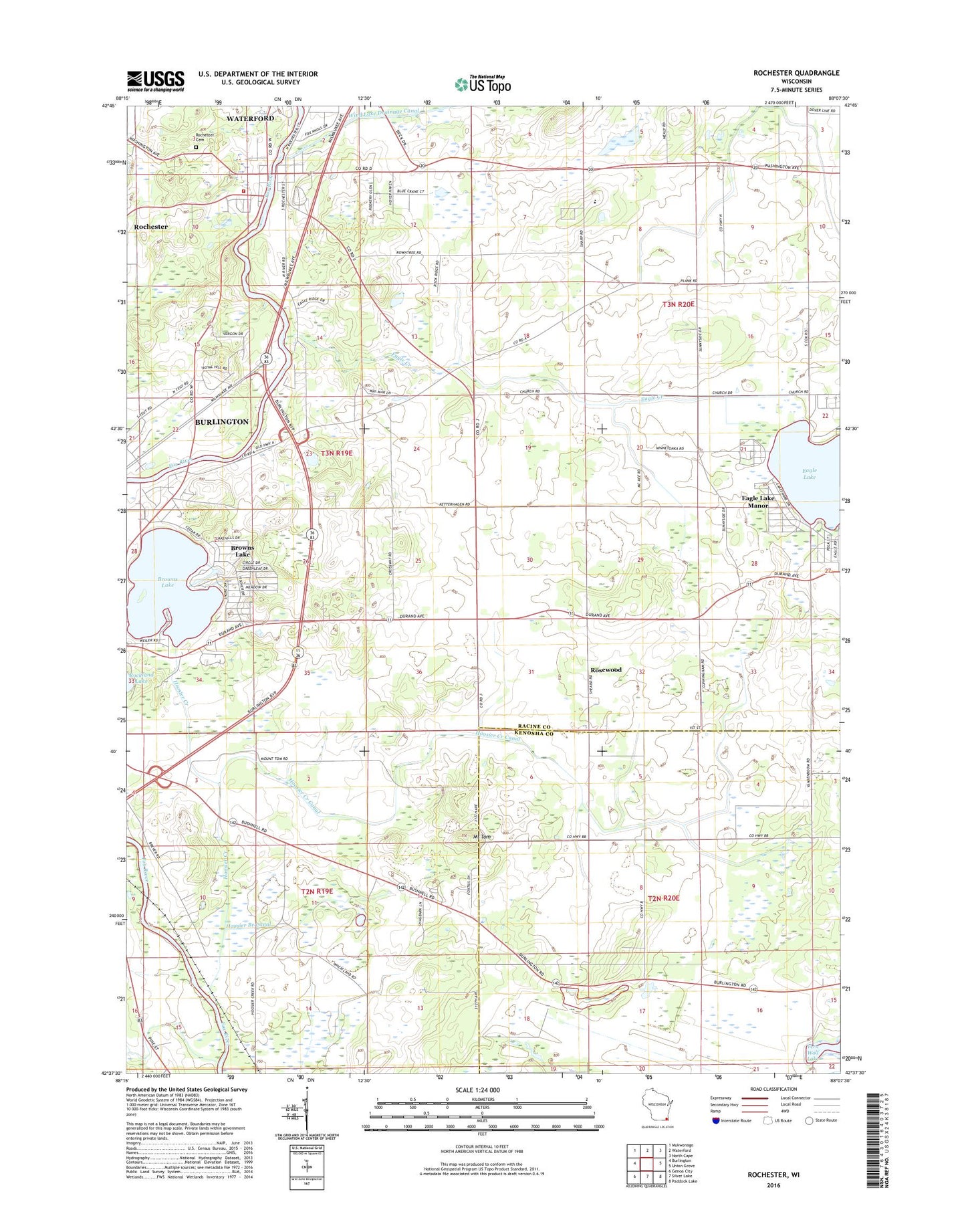
2018 topographic map quadrangle Rochester in the state of Wisconsin. Scale: 1:24000. Based on the newly updated USGS 7.5' US Topo map series, this map is in the following counties: Racine, Kenosha. The map contains contour data, water features, and other items you are used to seeing on USGS maps, but also has updated roads and other features. This is the next generation of topographic maps. Printed on high-quality waterproof paper with UV fade-resistant inks.
Quads adjacent to this one:
West: Burlington
Northwest: Mukwonago
North: Waterford
Northeast: North Cape
East: Union Grove
Southeast: Paddock Lake
South: Silver Lake
Southwest: Genoa City
Contains the following named places: 420 Reservoir, 53167, Brightonwoods Orchard, Browns Lake, Browns Lake Census Designated Place, Browns Lake Mobile Home Park, Camp MacLean, Cedar Park, Cherry Lake Sedge Meadow State Natural Area, Duckett School, Eagle Creek, Eagle Lake, Eagle Lake Census Designated Place, Eagle Lake Manor, Eagle Lake Terrace, Ela Orchard, English Settlement School, Fischer Park, Flaglor Airport, Hillside School at Lakeview, Hoosier Branch Canal, Hoosier Creek, Hoosier Creek Canal, Lakeview Rehabilitation Center, Lewislynn Landing Field, Lorimar Estates, Mount Tom, Pan-Yak Golf Course, Richard Bong Air Force Base, Richard Bong State Recreation Area, Rochester, Rochester 2WP427 Dam, Rochester Cemetery, Rochester Post Office, Rochester Volunteer Fire and Rescue Company, Rodgers Lake, Rosewood, Rosewood School, Saint Francis Monastery, Sunnyside Elementary School, Town of Brighton, Town of Burlington, Town of Dover, Town of Rochester, Village of Rochester, Western Racine Wastewater Treatment Plant