MyTopo
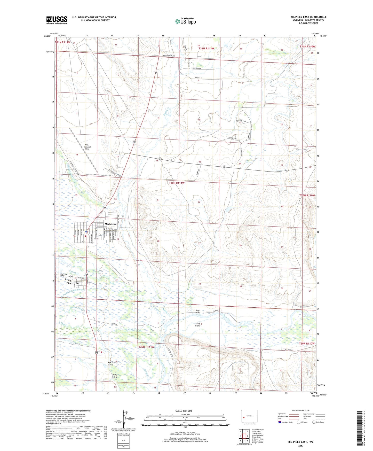
Big Piney East Wyoming US Topo Map
Couldn't load pickup availability
2021 topographic map quadrangle Big Piney East in the state of Wyoming. Scale: 1:24000. Based on the newly updated USGS 7.5' US Topo map series, this map is in the following counties: Sublette. The map contains contour data, water features, and other items you are used to seeing on USGS maps, but also has updated roads and other features. This is the next generation of topographic maps. Printed on high-quality waterproof paper with UV fade-resistant inks.
Quads adjacent to this one:
West: Big Piney West
Northwest: Budd Reservoir
North: Ball Island
Northeast: Mesa Spring
East: Ross Butte
Southeast: Sugar Loaf NW
South: Milleson Draw
Southwest: Chimney Butte
Contains the following named places: Airport Pit, Bench Corral Reservoir Number 3, Big Piney, Big Piney - Marbleton Fire Battalion, Big Piney High School, Big Piney Middle School, Big Piney Post Office, Big Piney School, Bray Draw, Bridger - Teton National Forest Big Piney Ranger District Fire Engine Crew, Emigrant Trail, Ferry Island, Gilchrist Lateral, Highline Canal, Marbleton, Marbleton Big Piney Clinic Heliport, Meadow Canyon Creek, Meadow Canyon Well Number 1, Middle Piney Creek, Midmermac Ditch, Miley Memorial Field, Muddy Creek, New Five Mile Pit, New Spring Gulch, North Channel Middle Piney Creek, North Piney Creek, O'Neil Ditch, Phares Ditch, Piney Cutoff Reservoir, Sage Ditch, South Piney Creek, Spring Creek, Spring Gulch, Sublette County Sheriff, Three Bridges, Town of Big Piney, Town of Marbleton, West Meadow Canyon Creek