MyTopo
Bristol Ridge NE Wyoming US Topo Map
Couldn't load pickup availability
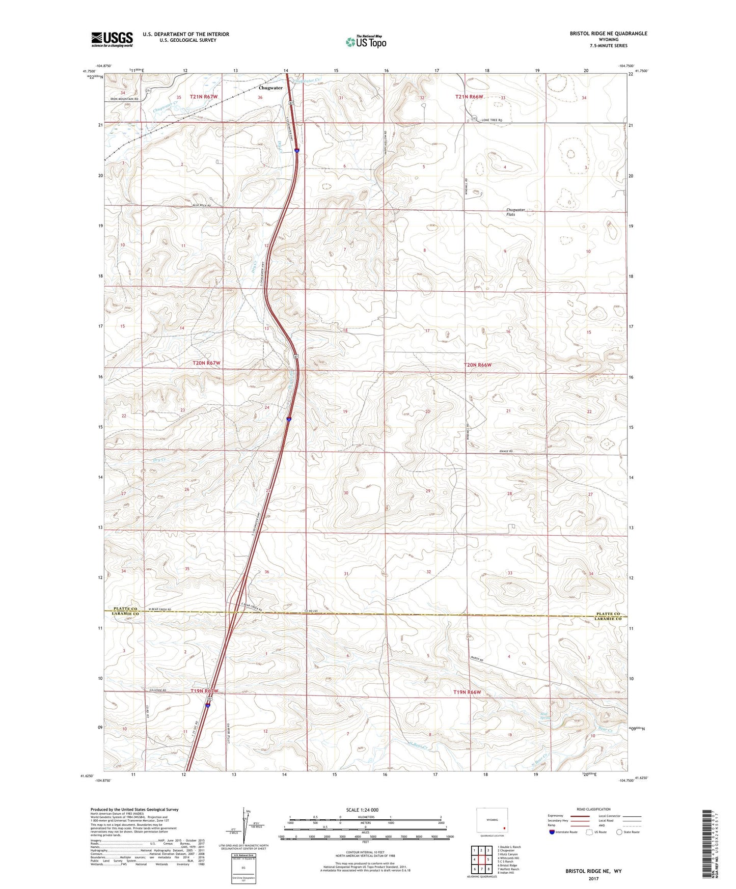
2021 topographic map quadrangle Bristol Ridge NE in the state of Wyoming. Scale: 1:24000. Based on the newly updated USGS 7.5' US Topo map series, this map is in the following counties: Platte, Laramie. The map contains contour data, water features, and other items you are used to seeing on USGS maps, but also has updated roads and other features. This is the next generation of topographic maps. Printed on high-quality waterproof paper with UV fade-resistant inks.
Quads adjacent to this one:
West: Whitcomb Hill
Northwest: Double L Ranch
North: Chugwater
Northeast: Klutz Canyon
East: C S Ranch
Southeast: Indian Hill
South: Moffett Ranch
Southwest: Bristol Ridge
Contains the following named places: A X Ranch, Dry Creek, Mud Spring, North Bear Creek, South Fork Bear Creek, ZIP Code: 82210