
MyTopo
Carr Draw Wyoming US Topo Map
Couldn't load pickup availability
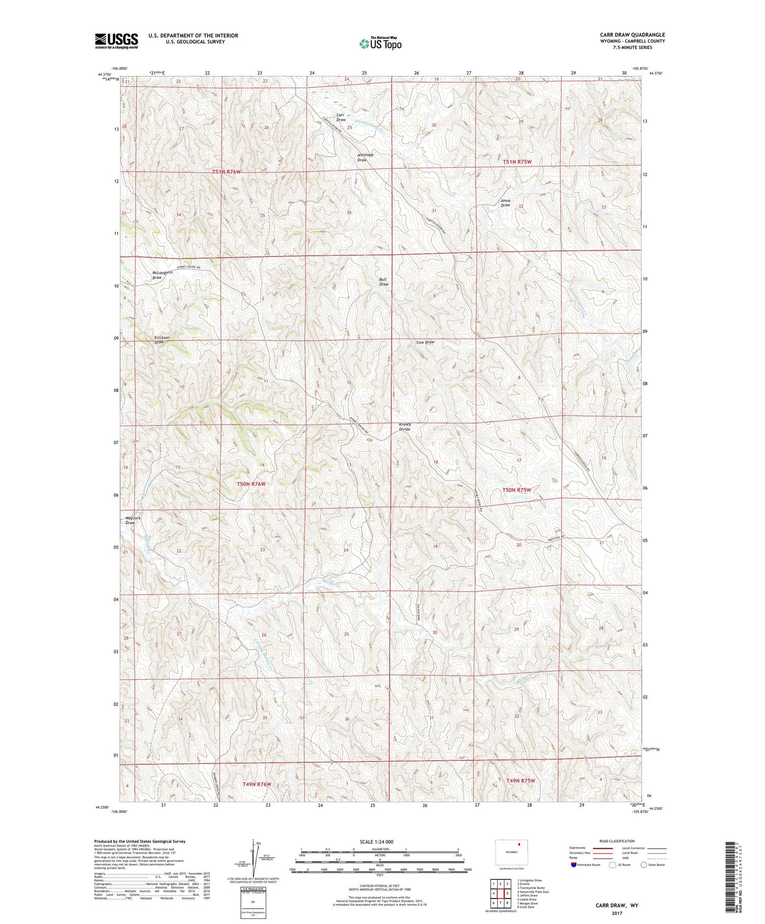
2021 topographic map quadrangle Carr Draw in the state of Wyoming. Scale: 1:24000. Based on the newly updated USGS 7.5' US Topo map series, this map is in the following counties: Campbell. The map contains contour data, water features, and other items you are used to seeing on USGS maps, but also has updated roads and other features. This is the next generation of topographic maps. Printed on high-quality waterproof paper with UV fade-resistant inks.
Quads adjacent to this one:
West: Somerville Flats East
Northwest: Livingston Draw
North: Echeta
Northeast: Twentymile Butte
East: Jeffers Draw
Southeast: Scott Dam
South: Morgan Draw
Southwest: Laskie Draw
Contains the following named places: Amos Draw, Antelope Draw, Barber Creek Oil Field, Bull Draw, Carr Draw, Cow Draw, Erickson Draw, Fortification Dam, Fortification Reservoir, Maycock Draw, South Prong Barber Creek, Thurderbird Mine


