MyTopo
Coon Track Creek Wyoming US Topo Map
Couldn't load pickup availability
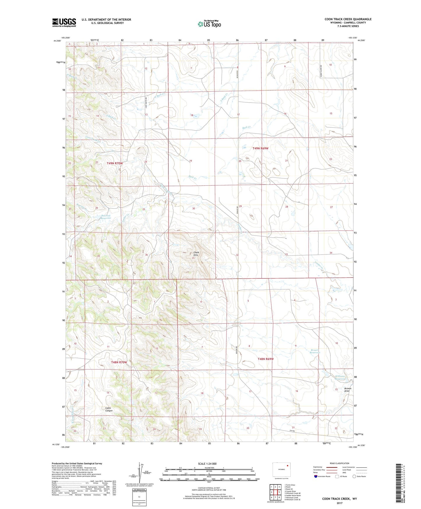
2021 topographic map quadrangle Coon Track Creek in the state of Wyoming. Scale: 1:24000. Based on the newly updated USGS 7.5' US Topo map series, this map is in the following counties: Campbell. The map contains contour data, water features, and other items you are used to seeing on USGS maps, but also has updated roads and other features. This is the next generation of topographic maps. Printed on high-quality waterproof paper with UV fade-resistant inks.
Quads adjacent to this one:
West: Coyote Draw
Northwest: Fortin Draw
North: Rozet
Northeast: Rozet SE
East: Whitetail Creek NE
Southeast: Whitetail Creek SE
South: Whitetail Creek
Southwest: Saddle Horse Butte
Contains the following named places: Brower Draw, Brower Reservoir, Chalk Hills, Coon Track Creek, Halverson Oil Field, North Buck Creek, Pickrel Ranch Oil Field, Raccoon Creek, Raccoon Reservoir, Reel Oil Field, Williams Reservoir