
MyTopo
Cow Creek Reservoir SW Wyoming US Topo Map
Couldn't load pickup availability
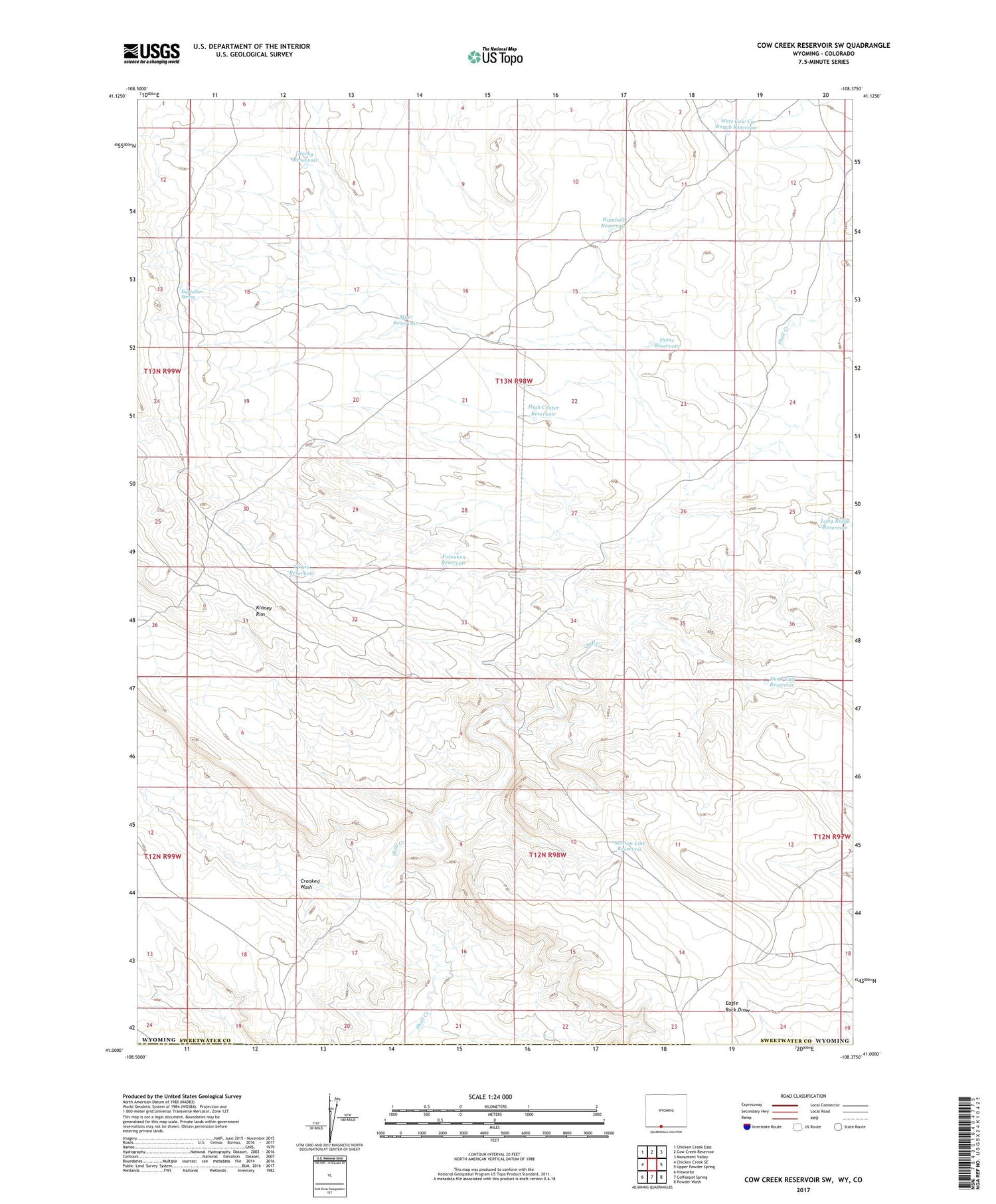
2021 topographic map quadrangle Cow Creek Reservoir SW in the state of Wyoming. Scale: 1:24000. Based on the newly updated USGS 7.5' US Topo map series, this map is in the following counties: Sweetwater, Moffat. The map contains contour data, water features, and other items you are used to seeing on USGS maps, but also has updated roads and other features. This is the next generation of topographic maps. Printed on high-quality waterproof paper with UV fade-resistant inks.
Quads adjacent to this one:
West: Chicken Creek SE
Northwest: Chicken Creek East
North: Cow Creek Reservoir
Northeast: Monument Valley
East: Upper Powder Spring
Southeast: Powder Wash
South: Coffeepot Spring
Southwest: Hiawatha
Contains the following named places: Crooked Wash, Dead End Reservoir, Doms Reservoir, Espitallier Spring, Forsaken Reservoir, High Center Reservoir, Humbolt Reservoir, Lower Shell Creek Crossing, Muir Reservoir, Rocky Reservoir, Section Line Reservoir, Virgin Reservoir, West Cow Creek Ranch Reservoir, Wild Horse Reservoir


