MyTopo
Upper Powder Spring Wyoming US Topo Map
Couldn't load pickup availability
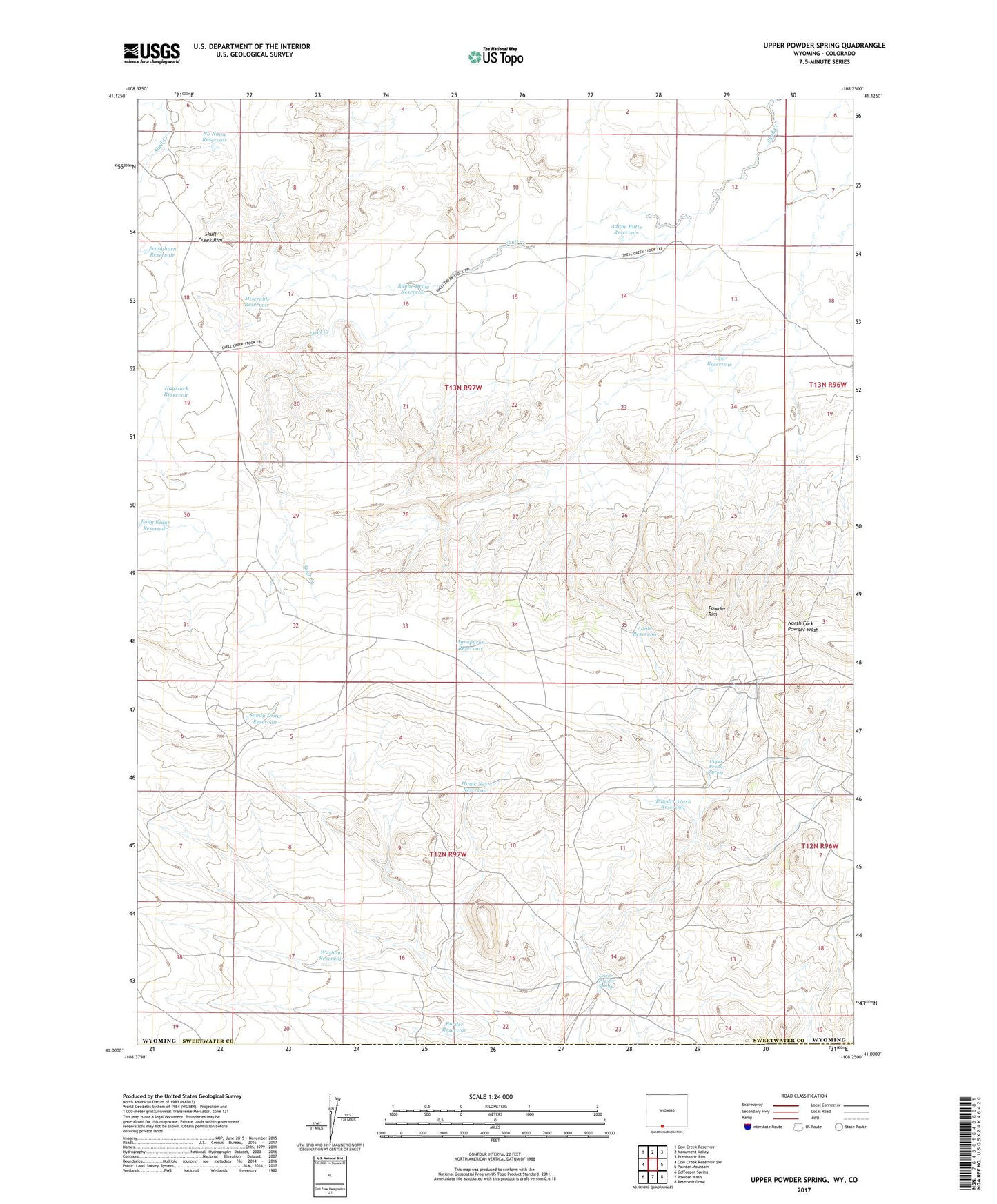
2021 topographic map quadrangle Upper Powder Spring in the state of Wyoming. Scale: 1:24000. Based on the newly updated USGS 7.5' US Topo map series, this map is in the following counties: Sweetwater, Moffat. The map contains contour data, water features, and other items you are used to seeing on USGS maps, but also has updated roads and other features. This is the next generation of topographic maps. Printed on high-quality waterproof paper with UV fade-resistant inks.
Quads adjacent to this one:
West: Cow Creek Reservoir SW
Northwest: Cow Creek Reservoir
North: Monument Valley
Northeast: Prehistoric Rim
East: Powder Mountain
Southeast: Reservoir Draw
South: Powder Wash
Southwest: Coffeepot Spring
This map covers the same area as the classic USGS quad with code o41108a3.
Contains the following named places: Adobe Butte Reservoir, Adobe Draw Reservoir, Adobe Reservoir, Agropyron Reservoir, Border Reservoir, Hawk Nest Reservoir, Haystack Reservoir, Last Reservoir, Long Ridge Reservoir, Lower Powder Spring, Miserable Reservoir, No Name Reservoir, Powder Wash Reservoir, Pronghorn Reservoir, Sandy Draw Reservoir, Skull Creek Rim, Upper Powder Spring, Washout Reservoir