MyTopo
Deer Butte Wyoming US Topo Map
Couldn't load pickup availability
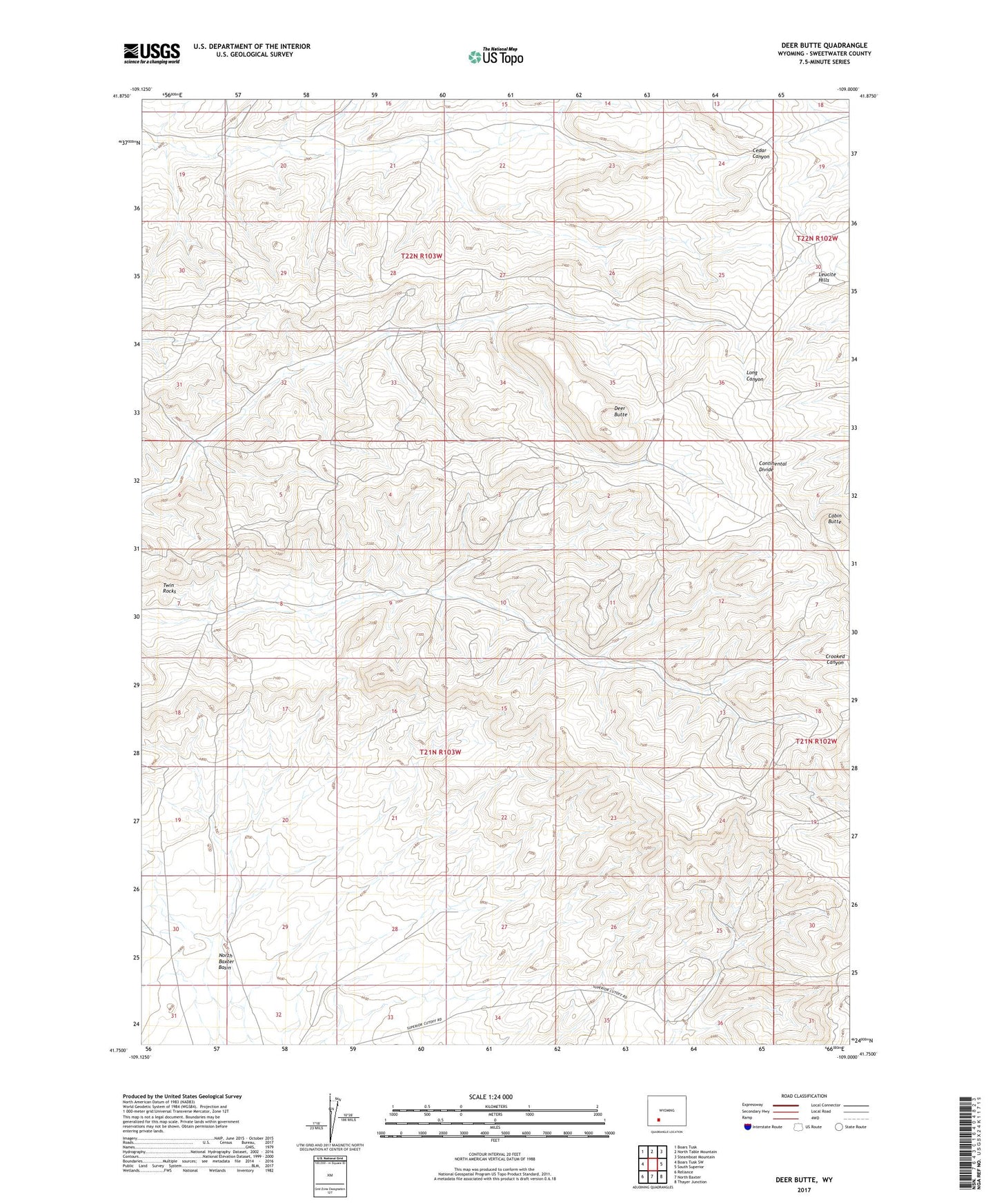
2021 topographic map quadrangle Deer Butte in the state of Wyoming. Scale: 1:24000. Based on the newly updated USGS 7.5' US Topo map series, this map is in the following counties: Sweetwater. The map contains contour data, water features, and other items you are used to seeing on USGS maps, but also has updated roads and other features. This is the next generation of topographic maps. Printed on high-quality waterproof paper with UV fade-resistant inks.
Quads adjacent to this one:
West: Boars Tusk SW
Northwest: Boars Tusk
North: North Table Mountain
Northeast: Steamboat Mountain
East: South Superior
Southeast: Thayer Junction
South: North Baxter
Southwest: Reliance
Contains the following named places: Cabin Butte, Deer Butte, Twin Rocks