
MyTopo
Frank Island Wyoming US Topo Map
Couldn't load pickup availability
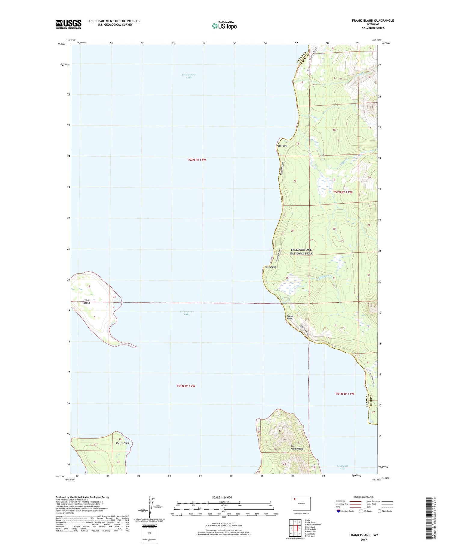
2021 topographic map quadrangle Frank Island in the state of Wyoming. Scale: 1:24000. Based on the newly updated USGS 7.5' US Topo map series, this map is in the following counties: Teton, Park. The map contains contour data, water features, and other items you are used to seeing on USGS maps, but also has updated roads and other features. This is the next generation of topographic maps. Printed on high-quality waterproof paper with UV fade-resistant inks.
Quads adjacent to this one:
West: Dot Island
Northwest: Lake
North: Lake Butte
Northeast: Mount Chittenden
East: Sylvan Lake
Southeast: Trail Lake
South: Alder Lake
Southwest: Heart Lake
Contains the following named places: Clear Creek, Columbine Creek, Cub Creek, Elk Point, Frank Island, Meadow Creek, Park Point, Park Point Patrol Cabin, Plover Point, Signal Point, Southeast Arm


