MyTopo
Freighter Gap Wyoming US Topo Map
Couldn't load pickup availability
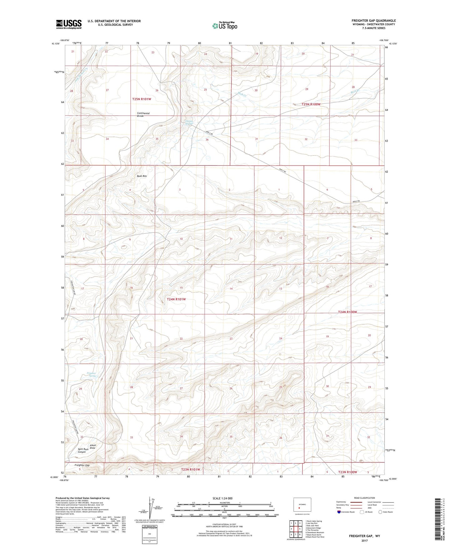
2021 topographic map quadrangle Freighter Gap in the state of Wyoming. Scale: 1:24000. Based on the newly updated USGS 7.5' US Topo map series, this map is in the following counties: Sweetwater. The map contains contour data, water features, and other items you are used to seeing on USGS maps, but also has updated roads and other features. This is the next generation of topographic maps. Printed on high-quality waterproof paper with UV fade-resistant inks.
Quads adjacent to this one:
West: Monument Ridge
Northwest: Rock Cabin Spring
North: Joe Hay Rim
Northeast: Bob Jack Well
East: The Pinnacles
Southeast: Black Rock Flat West
South: Black Rock North
Southwest: Steamboat Mountain
Contains the following named places: Bush Rim, Chicken Springs, Freighter Spring, Merrimac Mine, Split Rock Canyon