MyTopo
Jeffers Draw Wyoming US Topo Map
Couldn't load pickup availability
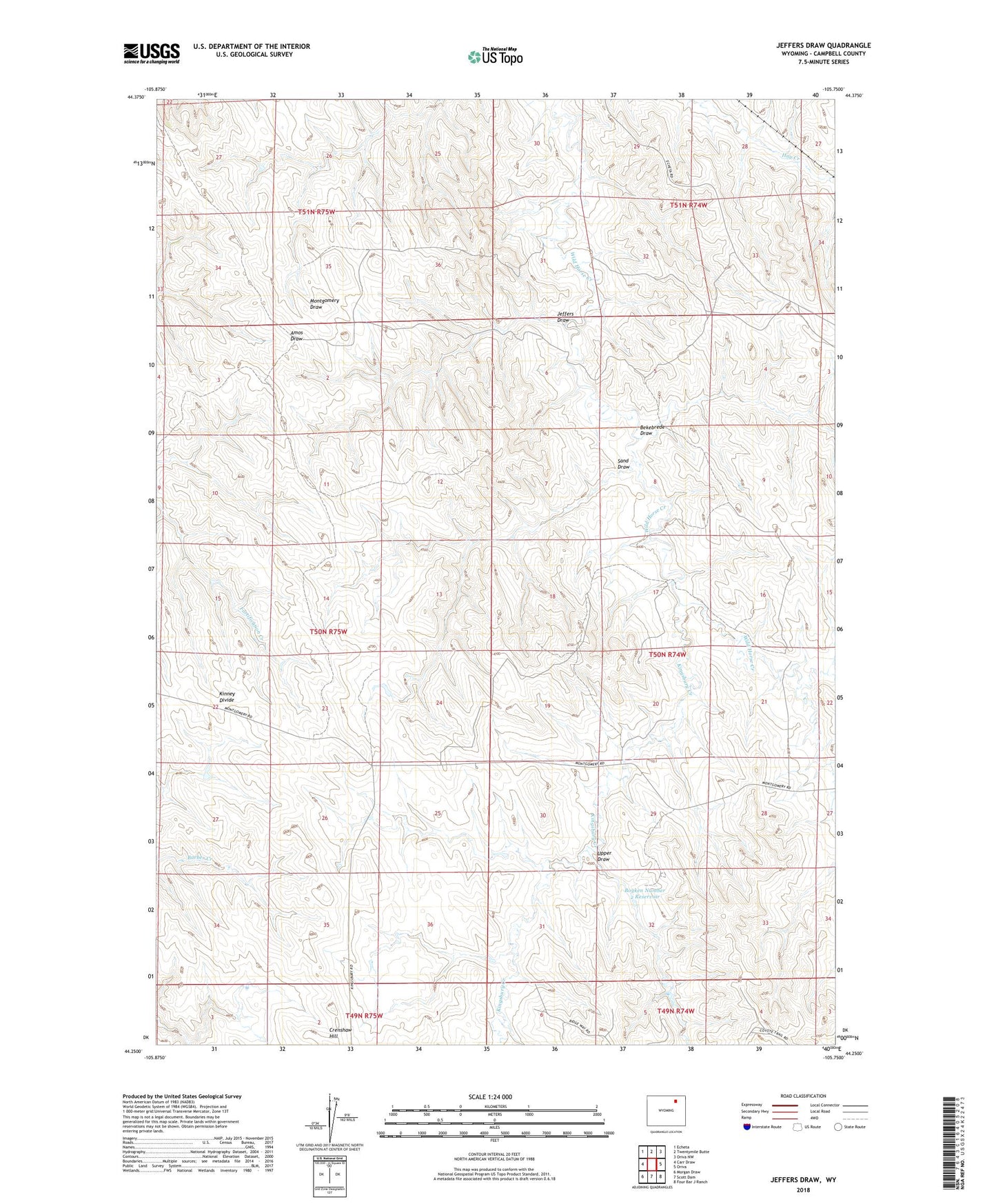
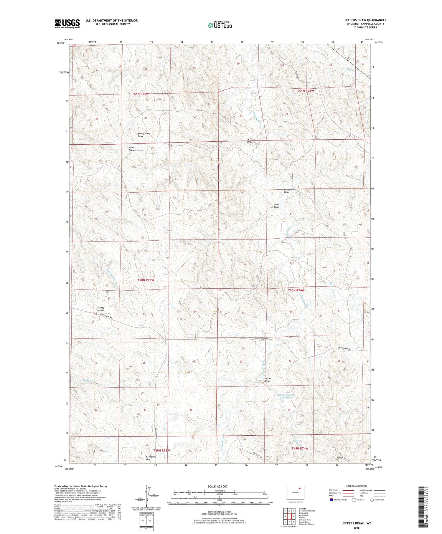
2021 topographic map quadrangle Jeffers Draw in the state of Wyoming. Scale: 1:24000. Based on the newly updated USGS 7.5' US Topo map series, this map is in the following counties: Campbell. The map contains contour data, water features, and other items you are used to seeing on USGS maps, but also has updated roads and other features. This is the next generation of topographic maps. Printed on high-quality waterproof paper with UV fade-resistant inks.
Quads adjacent to this one:
West: Carr Draw
Northwest: Echeta
North: Twentymile Butte
Northeast: Oriva NW
East: Oriva
Southeast: Four Bar J Ranch
South: Scott Dam
Southwest: Morgan Draw
Contains the following named places: Bekebrede Draw, Boyken Number 2 Dam, Boyken Number 2 Reservoir, East Fork Wild Horse Creek, Gates Dam, Gates Reservoir, Jeffers Draw, Kingsbury Creek, Kingsbury Oil Field, Sand Draw, Throne Oil Field, Upper Draw