MyTopo
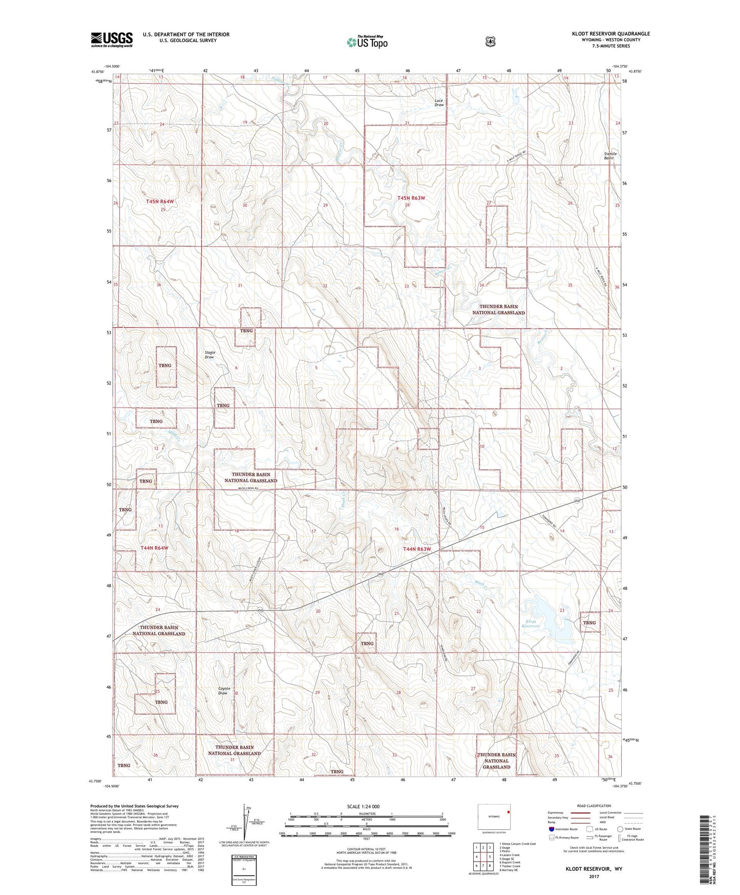
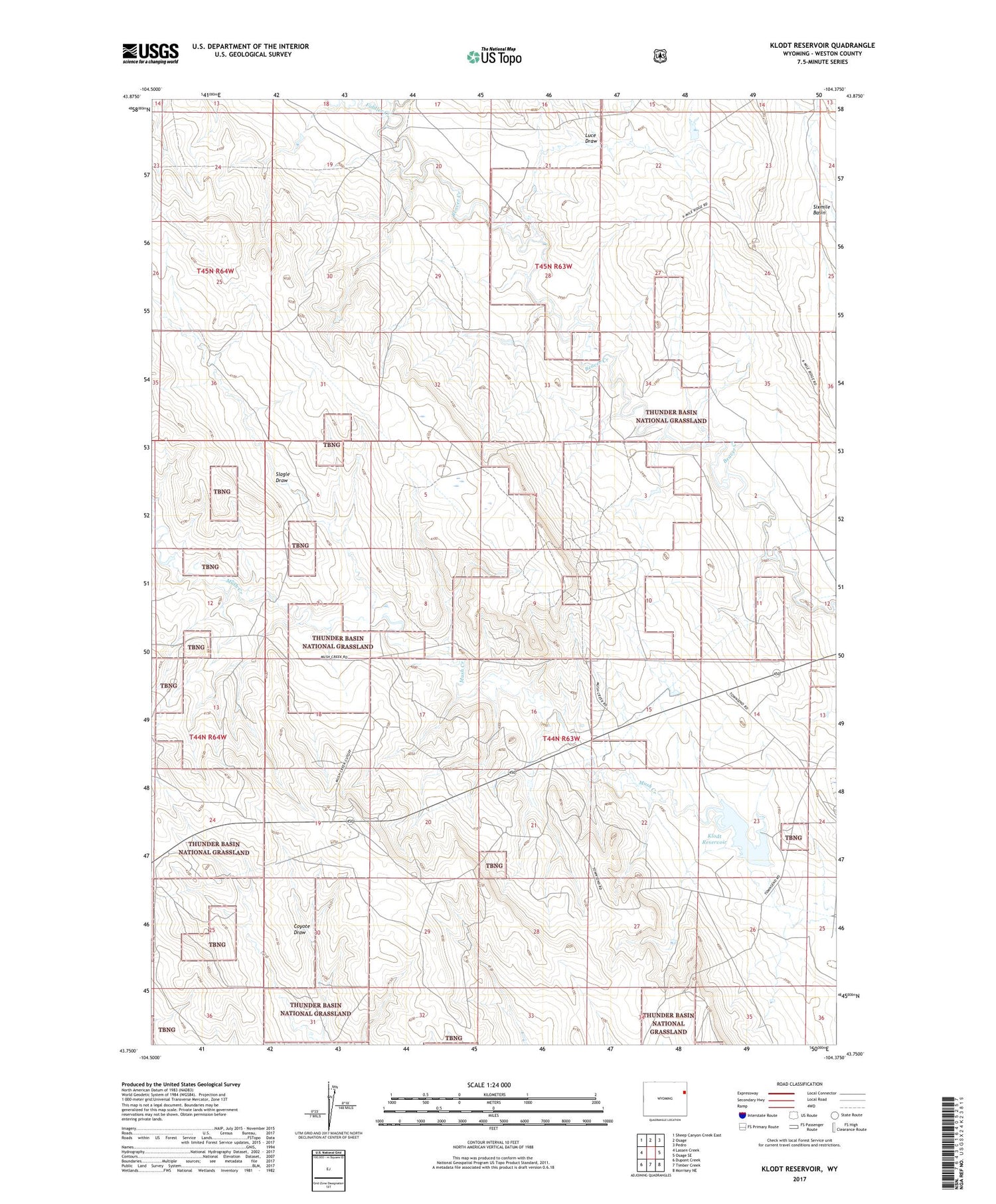
Klodt Reservoir Wyoming US Topo Map
Couldn't load pickup availability
2021 topographic map quadrangle Klodt Reservoir in the state of Wyoming. Scale: 1:24000. Based on the newly updated USGS 7.5' US Topo map series, this map is in the following counties: Weston. The map contains contour data, water features, and other items you are used to seeing on USGS maps, but also has updated roads and other features. This is the next generation of topographic maps. Printed on high-quality waterproof paper with UV fade-resistant inks.
Quads adjacent to this one:
West: Lassen Creek
Northwest: Sheep Canyon Creek East
North: Osage
Northeast: Pedro
East: Osage SE
Southeast: Morrisey NE
South: Timber Creek
Southwest: Dupont Creek
Contains the following named places: Coyote Draw, Fiddler Creek, Klodt Dam, Klodt Reservoir, Lissolo 9-364-3 Reservoir, Luce Draw, Mush Creek Oil Field, Mush Creek Pumping Station, Newcastle Division, Sedgewick Ranch, Six Mile Dam, Slagle Draw, Townsend Ranch, Whitney Ranch